ISRO Launches NVS-03 Navigation Satellite for NavIC Constellation
Source:Indian Express ↗
Why It Matters
The launch of NVS-03 is critical for strengthening India's indigenous satellite navigation system (NavIC), ensuring strategic autonomy in positioning, navigation, and timing (PNT) services for both defense and civilian applications.
Summary
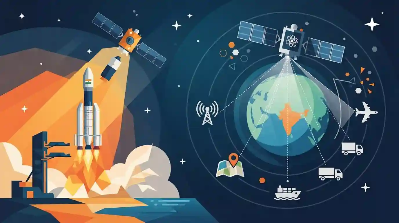
ISRO successfully launched the NVS-03 navigation satellite into its designated orbit, marking another milestone for India's indigenous NavIC constellation. Equipped with advanced technology like indigenous rubidium atomic clocks, the second-generation satellite aims to provide enhanced positioning, navigation, and timing services for both civilian and strategic applications.
Key Points
- ISRO successfully launched the NVS-03 navigation satellite into its designated orbit using a launch vehicle from Sriharikota.
- NVS-03 is part of the second-generation NavIC (Navigation with Indian Constellation) series, enhancing India's regional satellite navigation capabilities.
- The satellite incorporates advanced features such as indigenous rubidium atomic clocks for improved timing accuracy and expanded civilian and strategic positioning services.
Important Terms
NavIC

India's regional satellite navigation system (formerly IRNSS), providing accurate position, navigation, and timing services to India and surrounding regions.
UPSC context
UPSC Prelims/Mains GS Paper III: Space Technology, indigenous technology development, and strategic defense capabilities.
NVS-03
A second-generation NavIC navigation satellite launched by ISRO, featuring an indigenous rubidium atomic clock and L1 frequency support for enhanced civilian and strategic applications.
UPSC context
UPSC Prelims: Current developments in India's space missions and satellite navigation upgrades.
ISRO
India's national space agency responsible for planning and executing space research, satellite launches, and deep-space exploration missions.
UPSC context
UPSC Prelims/Mains GS Paper III: Achievements of Indians in science & technology and institutional framework of space policy.
Prelims Trap
NavIC is India's global satellite navigation system providing uninterrupted positioning across all global landmasses.
Aspirants often assume NavIC provides global coverage like GPS. In reality, NavIC is a regional navigation system covering India and up to 1,500 km beyond its borders.
Static Concepts Connected
What are the key operational features and frequency bands of India's NavIC constellation?
- Regional Coverage: Coverage area spans India and a primary region extending up to 1,500 km beyond its borders.
- Frequency Bands: Utilizes multiple frequency bands including L5, S, and the newer L1 band for commercial smartphone compatibility.
- Service Types: Offers Standard Position Service (SPS) for civilians and encrypted Restricted Service (RS) for strategic users.
- Atomic Clocks: Employs indigenous rubidium atomic clocks to ensure high-precision timing and strategic self-reliance.
Cross-Topic Patterns
NavIC + Consumer Electronics Manufacturing Policy
NavIC's integration of the L1 frequency band directly links indigenous space tech with consumer electronics manufacturing and mobile chipset compatibility under Make in India.
Strategic Autonomy in Critical Space Tech
Indigenous rubidium atomic clocks demonstrate critical technology self-reliance, connecting space programmes with national security and deep-tech strategic autonomy.

NavIC coverage, L1 band adoption, and indigenous rubidium atomic clocks are prime candidates for statements-based prelims questions.
Linked PYQs · 2
Linked PYQs · 2
- 2023PrelimsGS1
Which one of the following countries has its own Satellite Navigation System?
- 2015MainsGS3
What do you understand by 'Standard Positioning Systems' and 'Precision Positioning Systems' in the GPS era? Discuss the advantages India perceives from its ambitious IRNSS programme employing just seven satellites.
