ISRO offers satellite transponder support to Indian Railways
Source:The Hindu ↗
Why It Matters
Highlights inter-departmental synergy between space tech (ISRO) and civilian infrastructure (Railways) for safety, disaster resilience, and communication, illustrating the practical socio-economic applications of India's space program.
Summary
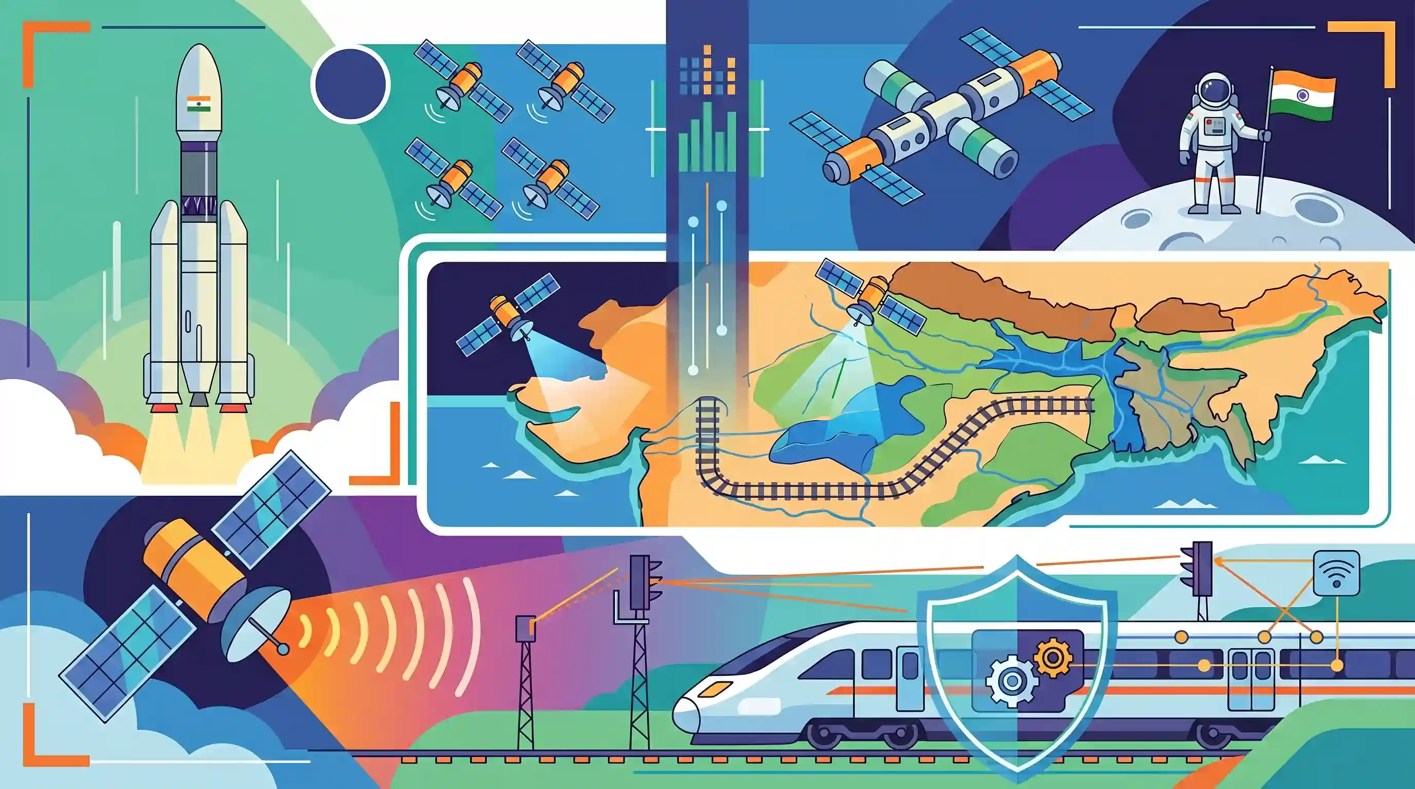
ISRO is collaborating with Indian Railways to bolster communication and safety systems by offering spare transponder capacity on its communication satellites. This support aims to enhance signaling across the railway network. Additionally, ISRO is utilizing spatial mapping to identify flood-prone zones, helping the Railways strategically route new infrastructure away from disaster-vulnerable areas. The partnership also involves IRISET's role in advancing the Kavach automatic train protection system. Looking ahead, ISRO plans to triple its satellite capacity and work towards ambitious goals like an indigenous space station by 2035 and a human moon mission by 2040.
Key Points
- ISRO is offering Indian Railways spare transponder capacity on communication satellites to improve signaling and communication systems.
- ISRO is using satellite data to map flood-prone zones, assisting the Railways in routing new infrastructure safely away from vulnerable areas.
- IRISET in Hyderabad is contributing to the development and implementation of Kavach, India's indigenous automatic train protection system.
- ISRO plans to triple its satellite fleet, adding new navigation and communication satellites, while pursuing long-term goals like an indigenous space station by 2035 and a manned lunar mission by 2040.
Important Terms
Kavach

An indigenous Automatic Train Protection (ATP) system developed by RDSO to prevent collisions, manage speed, and provide real-time cab signaling in adverse weather.
UPSC context
GS Paper III: Infrastructure and Science & Technology. Tests knowledge of indigenous safety technologies and disaster prevention in transport systems.
ISRO
The primary space agency of India, responsible for space exploration and satellite-based applications in communication, navigation, and disaster management.
UPSC context
GS Paper III: Science & Technology. Crucial for understanding India’s space achievements and their socio-economic applications.
IRISET (Indian Railways Institute of Signal Engineering & Telecommunications)
A premier training institute in Secunderabad specializing in signal engineering and telecommunications for the Indian Railways and foreign rail personnel.
UPSC context
GS Paper III: Infrastructure. Relevant for institutional mechanisms supporting technological modernization and safety in Indian Railways.
Transponder
A wireless device on a satellite that receives a signal, amplifies it, and retransmits it at a different frequency to enable telecommunications.
UPSC context
GS Paper III: Science & Technology (Communication Technology). Tests basic concepts of satellite communication and its practical utility.
Spatial Mapping
The process of creating geographic representations of physical locations, used by ISRO to identify flood-prone zones and plan resilient infrastructure.
UPSC context
GS Paper III: Disaster Management and Science & Technology. Concerns the use of remote sensing for vulnerability assessment and sustainable development.
Indian Railways
India's national rail transport operator, managed by the Ministry of Railways, and one of the world's largest railway networks by size.
UPSC context
GS Paper III: Infrastructure. Focuses on transport logistics, safety modernization, and the sector's contribution to national connectivity.
Prelims Trap
"Kavach relies solely on ISRO's NavIC or satellite systems for collision avoidance and automatic braking."
Kavach primarily utilizes track-installed RFID tags, ultra-high frequency (UHF) radio communication, and on-board computers, rather than relying exclusively on satellite navigation.
Static Concepts Connected
What are the core technological components of the Kavach system?
- RFID Tags: Placed precisely along railway tracks to provide exact train location, direction, and track identification to the locomotive.
- UHF Radio: Enables continuous, real-time wireless data exchange between the train, stationary infrastructure, and other approaching trains.
- On-Board Computer: Continuously monitors train speed against limits and automatically applies brakes if the pilot fails to obey signals.
How do communication and remote sensing satellites differ in function and orbit?
- Orbits: Communication satellites typically operate in Geosynchronous/Geostationary orbits (GEO), while remote sensing satellites operate in Low Earth Orbit (LEO).
- Payloads: Communication satellites carry transponders for relaying signals (e.g., railway comms). Remote sensing satellites carry optical/radar sensors (e.g., flood mapping).
Cross-Topic Patterns
Space-Tech in Disaster Resilience
ISRO's spatial mapping to route railways away from flood zones bridges GS3 Space Tech with GS3 Disaster Management (hazard zonation and resilient infrastructure).
ISRO's Long-term Exploration Roadmap
The 2035 Space Station (BAS) and 2040 Human Moon Mission targets consolidate India's strategic shift from purely application-based space missions to deep-space and crewed exploration.

Expect a 2026 prelims question testing Kavach's exact tech components (RFID) against ISRO's target dates for BAS (2035) and Moon (2040).
Linked PYQs · 5
Linked PYQs · 5
- 2017MainsGS3
India has achieved remarkable successes in unmanned space missions including the Chandrayaan and Mars Orbitter Mission, but has not ventured into manned space missions. What are the main obstacles to launching a manned space mission, both in terms of technology and logistics? Examine critically.
- 2019MainsGS3
Disaster preparedness is the first step in any disaster management process. Explain how hazard zonation mapping will help disaster mitigation in the case of landslides.
- 2022MainsGS3
Why is Public Private Partnership (PPP) required in infrastructural projects ? Examine the role of PPP model in the redevelopment of Railway Stations in India.
- 2023PrelimsGS1
Which one of the following countries has its own Satellite Navigation System?
- 2025PrelimsGS1
GPS-Aided Geo Augmented Navigation (GAGAN) uses a system of ground stations to provide necessary augmentation. Which of the following statements is/are correct in respect of GAGAN? I. It is designed to provide additional accuracy and integrity. II. It will allow more uniform and high quality air traffic management. III. It will provide benefits only in aviation but not in other modes of transportation. Select the correct answer using the code given below.
