ISRO prepares for NVS 03 navigation satellite launch
Source:Indian Express ↗
Why It Matters
Important for understanding India's indigenous space infrastructure, satellite navigation capabilities, and strategic self-reliance under ISRO programs.
Summary
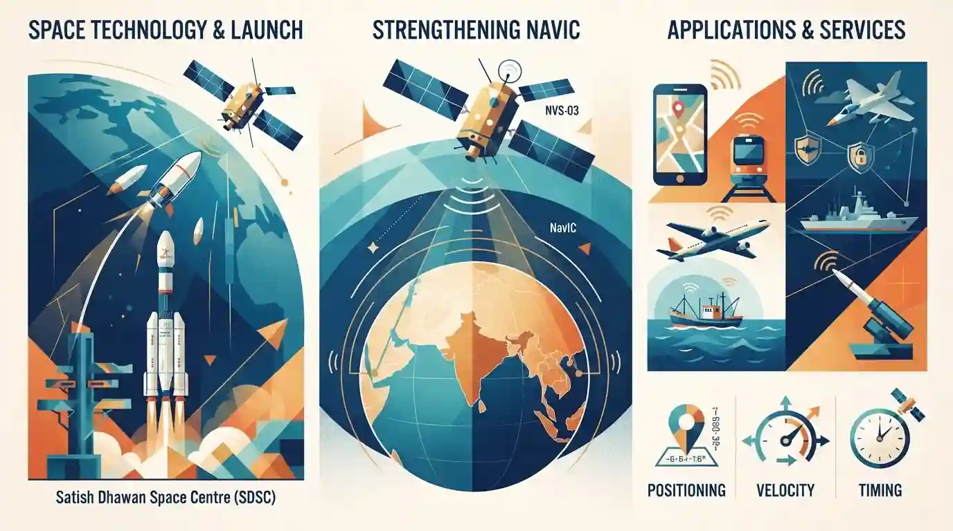
This article discusses the upcoming launch of ISRO's NVS-03 navigation satellite, which aims to strengthen India's indigenous regional navigation system, NavIC, enhancing positioning, velocity, and timing services for civilian and strategic applications.
Key Points
- ISRO is preparing for the launch of NVS-03, part of the second-generation navigation satellites to augment the NavIC (Navigation with Indian Constellation) network.
- NVS satellites feature indigenous rubidium atomic clocks for precise timing and carry L1 band signals for civilian users alongside L5 and S bands.
- NavIC provides regional navigation services covering India and an extended region up to 1,500 km around it, serving both strategic (Restricted Service) and civilian (Standard Positioning Service) applications.
Important Terms
NavIC

An indigenous regional satellite navigation system developed by ISRO, providing accurate position, navigation, and timing services to India and surrounding regions up to 1,500 km.
UPSC context
Important for GS Paper III (Science & Technology - Space Technology); tests knowledge of India's indigenous strategic navigation capabilities.
NVS-03
The third satellite in ISRO's second-generation NavIC series, designed to enhance positioning accuracy and incorporate indigenous Rubidium atomic clocks and L1-band civilian signals.
UPSC context
Relevant for GS Paper III (Space Technology and recent developments in space missions).
ISRO
India's national space agency responsible for planning, executing, and managing space exploration and satellite launch missions like NavIC.
UPSC context
Core body tested under GS Paper III (Achievements of Indians in science & technology; space technology).
Prelims Trap
NavIC provides seamless global positioning, navigation, and timing services across all international maritime routes.
NavIC is a regional navigation system covering India and 1,500 km around it, not a global constellation like GPS or Galileo.
Static Concepts Connected
What are the key operational parameters and frequency bands of India's NavIC system?
- Coverage Area: Regional Coverage: Covers Indian mainland and an extended area up to 1,500 km beyond its borders.
- Orbital Design: Constellation Size: Originally designed with 7 satellites (3 in geostationary, 4 in geosynchronous orbits).
- Signal Bands: Frequency Bands: Broadcasts on L5 and S bands for legacy users, with new NVS series adding the civilian-friendly L1 band.
- Service Streams: Service Types: Provides Standard Positioning Service (SPS) for public use and encrypted Restricted Service (RS) for military.
Cross-Topic Patterns
NavIC + Consumer Electronics Manufacturing
The integration of L1 civilian band signals connects ISRO's navigation tech with mobile manufacturing value chains and Make in India policy initiatives.
NavIC + Indo-Pacific Maritime Security
Regional satellite constellations like NavIC complement maritime security frameworks and Indo-Pacific information-sharing architectures.

NavIC coverage range, L1/L5/S band utility, and indigenous rubidium atomic clock technology are prime targets for multi-statement prelims.
Linked PYQs · 2
Linked PYQs · 2
- 2025GPSC_PRELIMSGS1
Which of the following statement(s) is/are true? (i) Navigation with Indian Constellation (NavIC) is India's independent regional navigation satellite system designed to provide accurate Position, Velocity and Timing (PVT) service to users in India as well as to region extending about 1500km beyond Indian land mass. (ii) NavIC will provide two types of services, namely, Standard Positioning Service (SPS) and Restricted Service (RS).
- 2025GPSC_PRELIMSGS1
Which of the following are the portals of Indian Space Research Organization (ISRO)? (i) Bhoonidhi (ii) Bhuvan (iii) VEDAS (iv) SPARK
