ISRO prepares for launch of NVS 03 navigation satellite
Source:Indian Express ↗
ఇది ఎందుకు ముఖ్యం
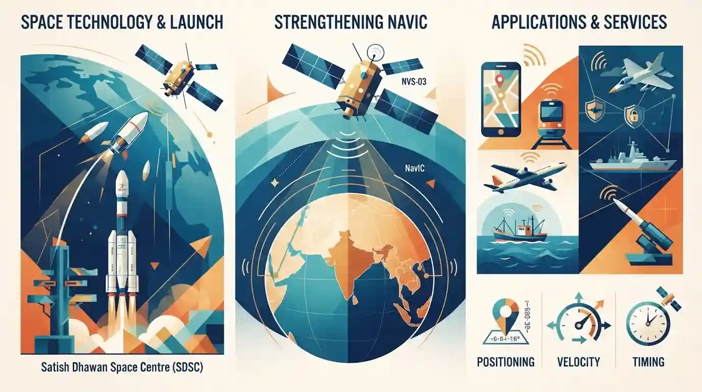
The launch of NVS-03 highlights India's progress in critical space infrastructure, strategic autonomy in navigation, and the commercial and civil expansion of the NavIC network.
సారాంశం
ISRO's impending launch of the NVS-03 navigation satellite marks a crucial step in upgrading India's indigenous regional navigation system, NavIC. The second-generation satellites bring improved features such as L1 band signals for civilian users and more reliable indigenous atomic clocks, reinforcing India's technological self-reliance in space-based positioning, navigation, and timing (PNT) architecture.
ముఖ్య అంశాలు
- ISRO is preparing for the launch of the NVS-03 navigation satellite, part of the second-generation NavIC (Navigation with Indian Constellation) series.
- NVS-03 will enhance India's regional satellite navigation capabilities, providing precise timing and positioning services.
- The NavIC constellation uses a combination of geostationary (GEO) and geosynchronous (GSO) orbits to cover India and surrounding regions up to 1,500 km.
- Second-generation satellites feature enhanced civil signals (like L1 frequency) and indigenous rubidium atomic clocks for superior timekeeping accuracy.
ముఖ్యమైన పదాలు
NavIC

An independent regional navigation satellite system developed by ISRO, providing accurate position information service in India and the region extending up to 1,500 km around it.
UPSC context
GS Paper III (Space Technology): Tests understanding of indigenous space assets, regional satellite navigation systems, and strategic self-reliance.
NVS-03
The second-generation navigation satellite in the NavIC series, featuring L1 band signals for civilian users and an indigenous atomic clock for enhanced reliability.
UPSC context
GS Paper III (Achievements in Science & Technology): Important for updates on satellite technology and improvements in civilian navigation applications.
IRNSS
Indian Regional Navigation Satellite System, the official name for the constellation of satellites that constitutes the NavIC system.
UPSC context
GS Paper III (Space Technology): Tests foundational knowledge of India's space program and satellite constellations.
Indian Space Research Organisation
India's national space agency responsible for planning, executing, and managing space exploration and satellite launch missions.
UPSC context
GS Paper III (Science & Technology): Crucial for questions regarding institutional frameworks and India's advancements in space research.
ప్రిలిమ్స్ ఉచ్చు
NavIC provides global satellite navigation coverage comparable to the US-owned GPS system.
NavIC is a regional navigation system (covering India and 1,500 km around), not a global one like GPS or Galileo. Aspirants often confuse regional coverage with global reach.
అనుసంధానమైన స్థిర భావనలు
What are the key orbital characteristics and frequency bands of India's NavIC system?
- Orbital Configuration: Hybrid constellation utilizing 3 Geostationary Earth Orbit (GEO) and 4 Geosynchronous Earth Orbit (GSO) satellites for uninterrupted visibility.
- Frequency Bands: Operates primarily on L5 and S bands for civilian and strategic users, with second-generation adding the civilian L1 frequency band.
- Service Types: Provides two distinct services: Standard Positioning Service (SPS) for civilian use and Restricted Service (RS) for authorized users.
అంతర-అంశ నమూనాలు
NavIC L1 Band & Smartphone Compatibility
Civilian smartphone integration via L1 band signals links domestic space manufacturing with global consumer electronics supply chains and bilateral trade standards.
Atomic Clocks & Strategic Indigenization
Indigenous rubidium atomic clock development connects high-end scientific research to critical technology self-reliance and strategic defense autonomy.

NavIC second-gen features (L1 band, indigenous rubidium clocks, GEO-GSO hybrid orbits) will be tested via multi-statement Prelims MCQs.
అనుసంధాన PYQలు · 3
అనుసంధాన PYQలు · 3
- 2023PrelimsGS1
Which one of the following countries has its own Satellite Navigation System?
- 2018PrelimsGS1
With reference to the Indian Regional Navigation Satellite System (IRNSS), consider the following statements: 1. IRNSS has three satellites in geostationary and four satellites in geosynchronous orbits. 2. IRNSS covers entire India and about 5500 sq. km beyond its borders. 3. India will have its own satellite navigation system with full global coverage by the middle of 2019. Which of the statements given above is/are correct?
- 2016MainsGS3
Discuss India's achievements in the field of Space Science and Technology. How the application of this technology has helped India in its socio-economic development?
