ISRO NVS-03 Navigation Satellite Launch and NavIC
Source:Indian Express ↗
Why It Matters
The launch of NVS-03 marks a crucial milestone in upgrading India's indigenous regional navigation system (NavIC), enhancing both national security and civilian applications by reducing dependence on foreign global navigation systems.
Summary
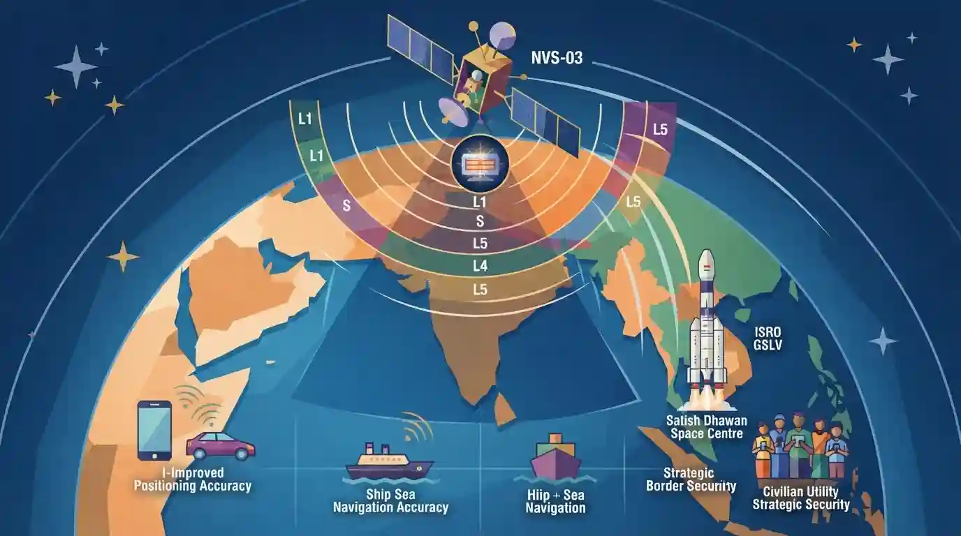
ISRO's impending launch of the NVS-03 navigation satellite highlights India's progress in advancing the NavIC (Navigation with Indian Constellation) system. Part of the second-generation satellite series, NVS-03 aims to enhance regional navigation services, improve positioning accuracy, incorporate indigenous rubidium atomic clocks, and introduce L1 band signals for broader civilian utility and strategic security.
Key Points
- ISRO is preparing for the launch of NVS-03, part of the second-generation NavIC (Navigation with Indian Constellation) series.
- NavIC provides accurate position information service to users in India and the region extending up to 1,500 km from its borders.
- The newer generation satellites feature enhanced capabilities, including improved operational life, indigenous rubidium atomic clocks, and L1 band signals for better compatibility with civilian handheld devices.
- Strengthens India's strategic autonomy and technological self-reliance in satellite navigation.
Important Terms
NavIC

An autonomous regional satellite navigation system developed by ISRO, providing accurate position information service to users in India and the region extending up to 1,500 km from its boundaries.
UPSC context
UPSC Prelims/Mains (GS Paper III - Science & Technology): Space technology, indigenous satellite navigation systems, and strategic applications.
NVS-03
India's second-generation navigation satellite, part of the NavIC constellation, designed to improve positioning accuracy, incorporate indigenous rubidium atomic clocks, and introduce L1 band signals.
UPSC context
UPSC Prelims/Mains (GS Paper III - Science & Technology): Recent space missions, technological indigenization, and scientific achievements of India.
ISRO
India's national space agency responsible for developing and operating space programs, satellite launches, and planetary exploration.
UPSC context
UPSC Prelims/Mains (GS Paper III - Science & Technology): Achievements of Indians in science & technology and institutional framework of space research.
Prelims Trap
NavIC is India's global satellite navigation system providing uninterrupted positioning across all international longitudes and latitudes.
Aspirants often confuse NavIC as a global positioning system like GPS or GLONASS. NavIC is strictly a regional navigation system covering India and 1,500 km beyond its borders.
Static Concepts Connected
What are the key technical features and coverage parameters of India's NavIC system?
- Coverage Range: Regional Coverage: Provides positioning data over India and a primary service area extending up to 1,500 km beyond Indian borders.
- Orbital Design: Constellation Size: Comprises a constellation of operational satellites in geostationary and geosynchronous orbits, supported by ground stations.
- Frequency Bands: Frequency Bands: Operates on L5 and S bands, with newer NVS generation introducing L1 band for civilian smartphone compatibility.
- Service Types: Dual Services: Offers Standard Positioning Service (SPS) for civilian use and Restricted Service (RS) for authorized military/strategic users.
Cross-Topic Patterns
NavIC Civilian Integration + Make in India
NavIC's integration into commercial smartphones intersects with Make in India initiatives and Ministry of Electronics and Information Technology (MeitY) mandates for domestic mobile hardware.
Space Tech + Strategic Indigenization
Indigenous rubidium atomic clocks illustrate how space technology spillovers directly reduce strategic import vulnerabilities in critical national infrastructure.

NavIC architecture, orbital coverage (1500 km), frequency bands (L1, L5, S), and indigenous atomic clocks are high-yield Prelims match targets.
Linked PYQs · 4
Linked PYQs · 4
- 2025PrelimsGS1
GPS-Aided Geo Augmented Navigation (GAGAN) uses a system of ground stations to provide necessary augmentation. Which of the following statements is/are correct in respect of GAGAN? I. It is designed to provide additional accuracy and integrity. II. It will allow more uniform and high quality air traffic management. III. It will provide benefits only in aviation but not in other modes of transportation. Select the correct answer using the code given below.
- 2023PrelimsGS1
Which one of the following countries has its own Satellite Navigation System?
- 2016MainsGS3
Discuss India's achievements in the field of Space Science and Technology. How the application of this technology has helped India in its socio-economic development?
- 2015MainsGS3
What do you understand by 'Standard Positioning Systems' and 'Precision Positioning Systems' in the GPS era? Discuss the advantages India perceives from its ambitious IRNSS programme employing just seven satellites.
