ISRO NVS 02 Satellite Failure Analysis and Electrical Fault
Source:Indian Express ↗
Why It Matters
Maintaining an independent and robust regional navigation satellite system (NavIC) is critical for India's strategic autonomy, disaster management, and commercial tech ecosystem. Understanding technical hurdles like those faced by NVS-02 highlights the complexities of space engineering that UPSC often explores in the S&T section.
Summary
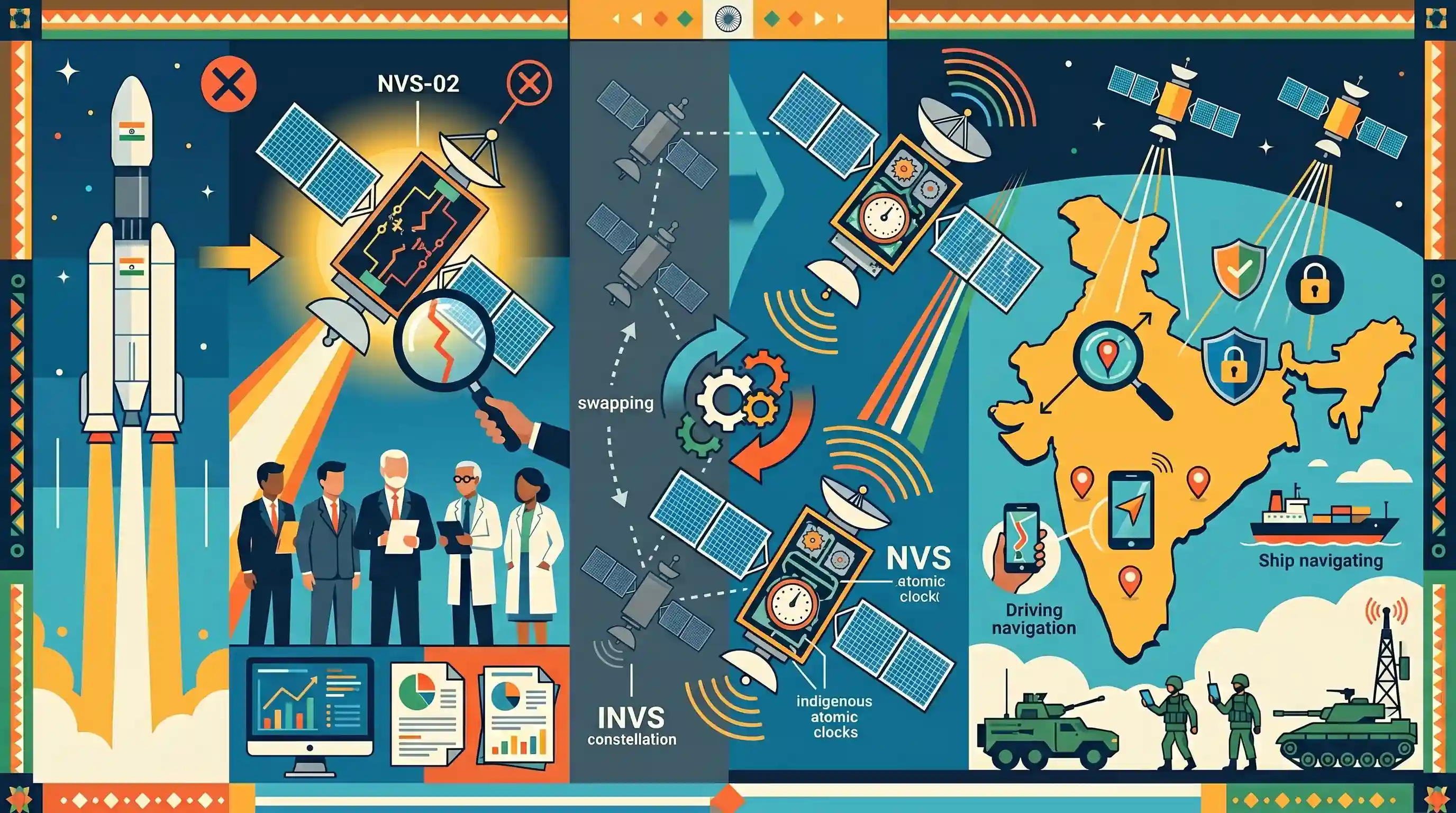
A committee probing the failure of ISRO's NVS-02 satellite has concluded that a broken electrical circuit is the likely root cause. The NVS-02 is a crucial component of India's next-generation Navigation with Indian Constellation (NavIC) program, which aims to augment and replace the aging satellites of the Indian Regional Navigation Satellite System (IRNSS). Despite the technical setback, the NVS series represents a significant leap in India's space technology, featuring indigenous atomic clocks and additional signals (like the L1 band) to provide highly accurate and secure positioning services for both civilian and strategic applications.
Key Points
- An investigative committee has identified a broken electrical circuit as the likely cause of the failure of ISRO's NVS-02 satellite.
- NVS-02 is part of the second-generation series of satellites for NavIC (formerly IRNSS), which are designed to enhance India's regional satellite navigation capabilities.
- The NVS series satellites incorporate indigenous Rubidium atomic clocks and broadcast in the L1 band for greater civilian interoperability and precision.
- This technical setback emphasizes the operational and engineering challenges involved in upgrading and maintaining India's strategic independent navigation constellation.
Important Terms
NavIC

India's indigenous regional satellite navigation system, providing accurate positioning services over the Indian landmass and 1,500 km beyond. It utilizes seven satellites in GEO and IGSO orbits for civilian and strategic users.
UPSC context
GS Paper 3 (S&T); crucial for topics on 'indigenization of technology' and 'strategic autonomy' in navigation.
IRNSS
The technical and original program name for India's navigation system, operationally known as NavIC. It provides independent positioning, velocity, and timing (PVT) services, reducing reliance on foreign systems like GPS.
UPSC context
GS Paper 3; tests knowledge of India's space program history and regional navigation capabilities.
NVS Series
ISRO's second-generation navigation satellites (NVS-01 to NVS-05) designed to augment NavIC. They feature indigenous atomic clocks, 12-year lifespans, and the L1 frequency band for enhanced civilian device compatibility.
UPSC context
GS Paper 3; relevant for current affairs regarding satellite upgrades and mission outcomes like the NVS-02 failure.
L1 Band
The most common navigation frequency (1575.42 MHz) introduced in the NVS series. It enables NavIC compatibility with standard smartphones and wearables, facilitating wider commercial and public adoption of the system.
UPSC context
GS Paper 3; tests technical awareness of satellite signals and their role in commercial technology integration.
Indigenous Atomic Clock
Ultra-precise timekeeping devices essential for trilateration in navigation. ISRO transitioned from imported Swiss clocks to indigenous rubidium clocks (developed by SAC, Ahmedabad) in the NVS series to ensure technological self-reliance.
UPSC context
GS Paper 3; significant for questions on indigenous innovation and solving critical technical dependencies in space.
Geosynchronous Transfer Orbit (GTO)
The highly elliptical orbit into which satellites are initially launched before using onboard propulsion to reach a circular Geosynchronous or Geostationary orbit. NVS-02 was stranded here after an engine failure.
UPSC context
GS Paper 3; tests basic orbital mechanics and specific mission failure analysis for navigation satellites.
Prelims Trap
NavIC is an augmentation system designed to correct existing GPS signals for Indian users.
NavIC is an independent, standalone regional navigation constellation. GAGAN is India's GPS augmentation system. Mixing these two distinct architectures is a classic UPSC trap.
Static Concepts Connected
How does NavIC's orbital architecture differ from the US Global Positioning System (GPS)?
- NavIC Orbits: NavIC relies entirely on Geostationary Earth Orbit (GEO) and Geosynchronous Orbit (GSO) satellites.
- GPS Orbits: The US GPS primarily utilizes Medium Earth Orbit (MEO) satellites to ensure continuous global coverage.
- Coverage Scope: NavIC provides regional coverage over India and up to 1,500 km beyond its borders, whereas GPS covers the entire globe.
Why are Rubidium atomic clocks essential components of navigation satellites?
- Signal Timing: They precisely measure the travel time of radio signals from the satellite to a ground receiver.
- Distance Calculation: Because radio waves travel at the speed of light, even a microsecond timing error creates hundreds of meters of positioning inaccuracy.
- Indigenous Tech: The NVS series replaces imported Swiss clocks that failed in earlier IRNSS satellites with highly stable, ISRO-developed Rubidium clocks.
Cross-Topic Patterns
NavIC L1 band + Civilian IoT manufacturing
Adding the L1 band allows NavIC integration into consumer electronics and wearables, linking space tech directly to the PLI scheme for mobile manufacturing and domestic IoT growth.
Strategic autonomy + Restricted Service (RS)
NavIC's highly encrypted Restricted Service guarantees the military isn't reliant on foreign navigation during conflicts, echoing broader Atmanirbhar Bharat goals in defense procurement and strategic autonomy.

Expect a 2026 multi-statement question comparing NavIC's NVS upgrades (L1 band, indigenous clocks) with GAGAN and global systems like GPS.
Linked PYQs · 3
Linked PYQs · 3
- 2018PrelimsGS1
With reference to the Indian Regional Navigation Satellite System (IRNSS), consider the following statements: 1. IRNSS has three satellites in geostationary and four satellites in geosynchronous orbits. 2. IRNSS covers entire India and about 5500 sq. km beyond its borders. 3. India will have its own satellite navigation system with full global coverage by the middle of 2019. Which of the statements given above is/are correct?
- 2023PrelimsGS1
Which one of the following countries has its own Satellite Navigation System?
- 2015MainsGS3
What do you understand by 'Standard Positioning Systems' and 'Precision Positioning Systems' in the GPS era? Discuss the advantages India perceives from its ambitious IRNSS programme employing just seven satellites.
