ISRO and Andhra University partner to study rip currents
Source:The Hindu ↗
Why It Matters
Rip currents are a significant yet often overlooked coastal hazard that cause numerous fatalities globally. This initiative is a prime example of leveraging cutting-edge science—specifically ISRO's satellite data and AI—for localized disaster preparedness and risk reduction. It directly relates to the GS3 syllabus encompassing the applications of space technology, disaster mitigation strategies, and coastal security.
Summary
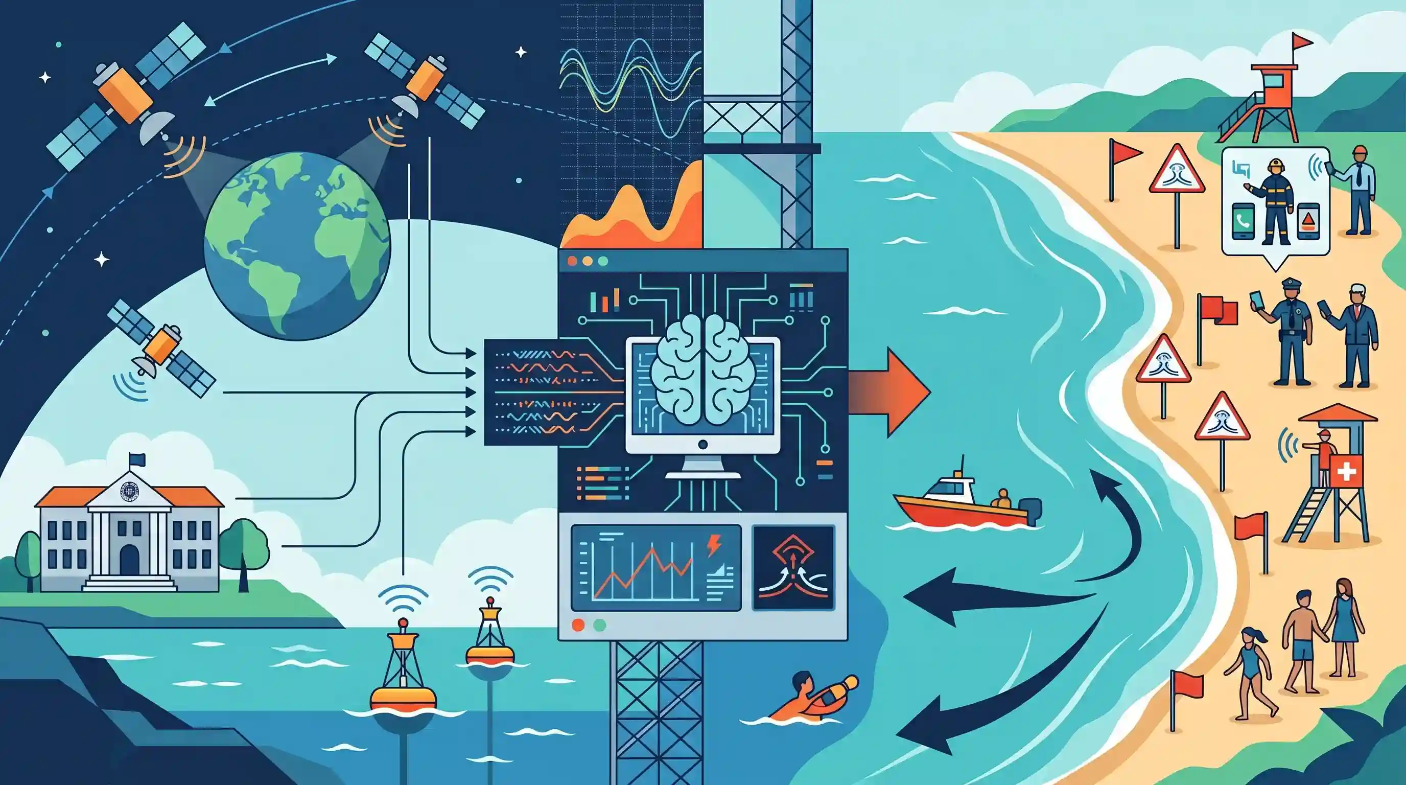
The Space Applications Centre (SAC) of ISRO and Andhra University are collaborating on a research project to study rip currents along the Visakhapatnam coast. The two-year initiative aims to monitor oceanographic and atmospheric parameters to predict these hazardous currents, which are a major cause of drowning at beaches. By developing early warning systems and beach safety tools driven by artificial intelligence (AI) and satellite technology, the project seeks to bolster coastal safety. The resulting predictive capabilities will assist local authorities, including the Coastal Security Police and municipal agencies, in disaster risk reduction and proactive beach management.
Key Points
- ISRO's Space Applications Centre and Andhra University have launched a two-year, ₹22 lakh project to study dangerous rip currents along the Visakhapatnam coast.
- The research will focus on monitoring atmospheric and oceanographic parameters to predict the occurrence of localized rip currents.
- Artificial intelligence (AI) and satellite technology will be leveraged to build effective beach safety monitoring and early warning systems.
- The tools developed will help agencies like the Coastal Security Police and municipal bodies mitigate drowning risks, enhancing overall disaster resilience and public safety.
Important Terms
Rip Currents

Powerful, narrow channels of water flowing away from the shore, capable of pulling swimmers into deeper waters. They are a significant coastal hazard and a leading cause of beach drownings.
UPSC context
GS Paper 1 (Geophysical phenomena) and GS Paper 3 (Disaster Management); tests knowledge of coastal hazards and public safety.
Space Applications Centre (SAC)
A premier ISRO center in Ahmedabad specializing in payload development and space technology applications for communication, remote sensing, meteorology, and physical oceanography for societal benefits.
UPSC context
GS Paper 3 (Science & Technology); focuses on institutional roles in space research and disaster-monitoring applications.
Coastal Security Police
A specialized police force responsible for patrolling territorial waters (up to 12 nautical miles), search and rescue, and disaster response along India's coastline.
UPSC context
GS Paper 3 (Internal Security & Disaster Management); tests understanding of the multi-layered maritime security architecture and first-responder roles.
Greater Visakhapatnam Municipal Corporation (GVMC)
The civic body governing Visakhapatnam, responsible for urban disaster management, beach safety, and implementing local resilience plans under the Disaster Management Act.
UPSC context
GS Paper 2 (Governance) and GS Paper 3 (Disaster Management); tests the role of Urban Local Bodies (ULBs) in hazard mitigation.
Indian Space Research Organisation (ISRO)
India's national space agency under the Department of Space, mandated to harness space technology for national development and conduct space exploration.
UPSC context
GS Paper 3 (S&T); essential for questions on space-based disaster management and indigenous technological advancements.
Project Bharati
A joint initiative by ISRO and Andhra University to develop an AI-enabled real-time rip current detection and early warning system to enhance beach safety.
UPSC context
GS Paper 3 (S&T and Disaster Management); focuses on the application of AI and satellite technology in disaster risk reduction.
Prelims Trap
Rip currents are deep underwater flows that pull swimmers below the ocean's surface.
Rip currents are powerful surface flows that pull swimmers horizontally seaward. They do not pull you under the water; that is a common misconception often confused with undertows.
Static Concepts Connected
What are rip currents and how do they differ from undertows?
- Surface flow: Fast-moving, narrow channels of water flowing horizontally on the ocean's surface away from the shore.
- Formation: Formed when water piled near the shore by breaking waves funnels back to sea through gaps in submerged obstacles like sandbars or reefs.
- Key difference: While undertows pull water back to sea along the ocean floor, rip currents operate on the surface and pull objects rapidly seaward.
What is the mandate of ISRO's Space Applications Centre (SAC)?
- Location: Based in Ahmedabad, Gujarat, it is a key ISRO research and development center.
- Core function: Specializes in designing space-borne payloads for telecommunications, broadcasting, remote sensing, and meteorology.
- Applications: Focuses on operationalizing space tech for societal benefits, including disaster monitoring, early warning systems, and oceanography.
Cross-Topic Patterns
Space Tech + Sendai Framework
Deploying satellite-driven AI tools for localized coastal hazards directly aligns with Sendai Framework's Target G, which mandates increasing access to multi-hazard early warning systems.
Coastal Topography + Oceanography
The formation of rip currents demonstrates how highly localized coastal geomorphology (submerged sandbars, jetties) dynamically interacts with ocean waves to create specific micro-hazards.

Distinguishing surface rip currents from deep undertows or tidal bores is highly probable as a geography statement in Prelims 2026.
Linked PYQs · 4
Linked PYQs · 4
- 2019MainsGS1
How do ocean currents and water masses differ in their impacts on marine life and coastal environment? Give suitable examples.
- 2019MainsGS3
Disaster preparedness is the first step in any disaster management process. Explain how hazard zonation mapping will help disaster mitigation in the case of landslides.
- 2017MainsGS3
On December 2004, tsunami brought havoc on fourteen countries including India. Discuss the factors responsible for occurrence of tsunami and its effects on life and economy. In the light of guidelines of NDMA (2010) describe the mechanisms for preparedness to reduce the risk during such events.
- 2024MainsGS3
What is disaster resilience? How is it determined? Describe various elements of a resilience framework. Also mention the global targets of Sendai Framework for Disaster Risk Reduction (2015–2030).
