अंतरिक्ष क्षमता विस्तार के लिए ISRO की उपग्रह वृद्धि योजनाएं
स्रोत:द हिंदू ↗
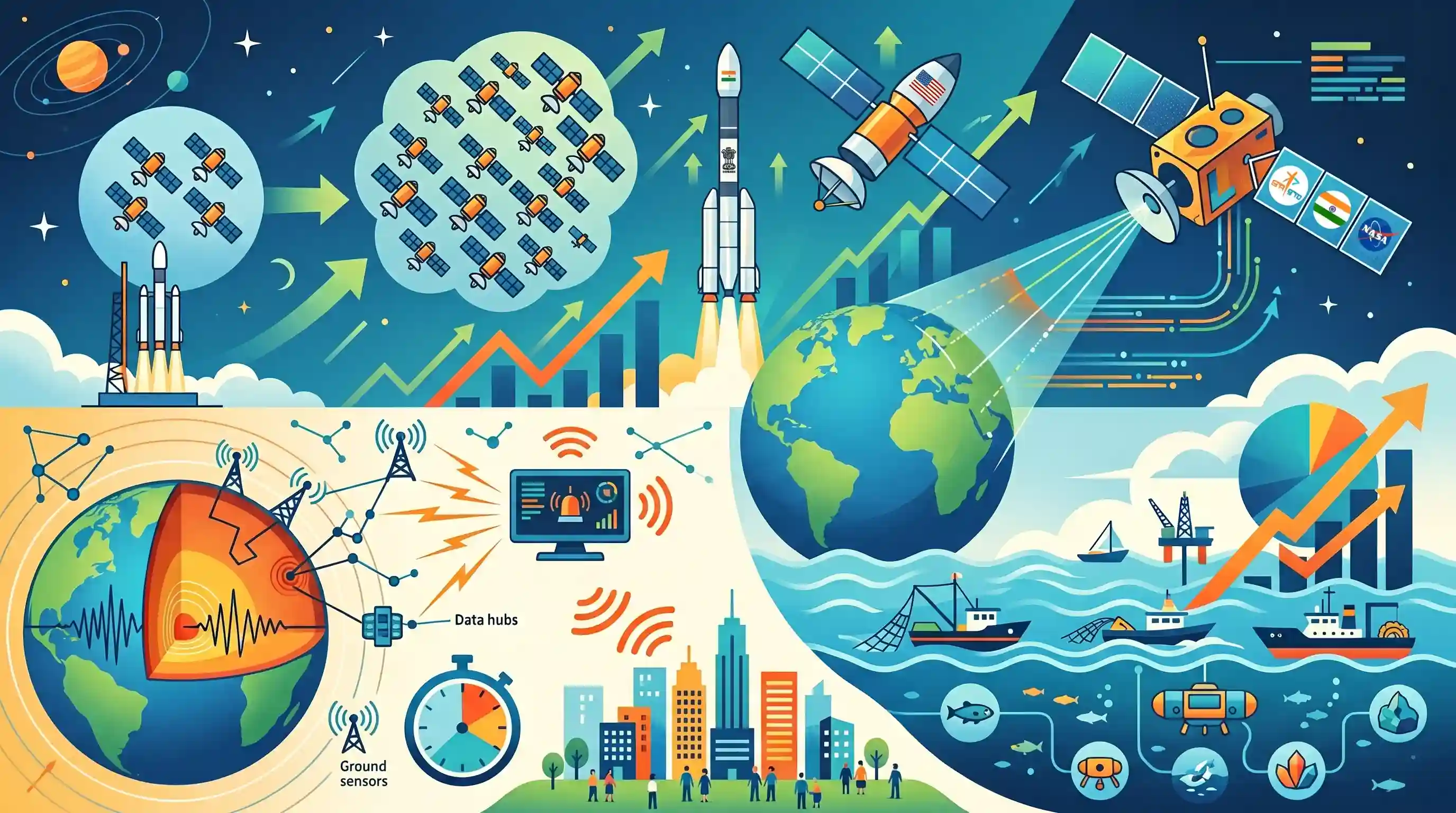
क्यों मायने रखता है
अंतरिक्ष का व्यावसायीकरण, ब्लू इकोनॉमी (Blue Economy) और आपदा प्रबंधन GS3 के मुख्य स्तंभ हैं। ISRO की तीव्र विस्तार समयरेखा, 2047 के लिए पृथ्वी विज्ञान लक्ष्यों के साथ मिलकर, भारत के तकनीकी स्वदेशीकरण, आपदा शमन रणनीतियों और आर्थिक विविधीकरण पर मुख्य परीक्षा (Mains) के उत्तरों के लिए महत्वपूर्ण डेटा पॉइंट्स प्रदान करती है।
सारांश
ISRO is aggressively expanding India's space footprint, aiming to triple its operational satellites from 56 within three years and achieve parity with developed space-faring nations by 2040. This expansion includes lucrative commercial launches, such as deploying a massive US-built communication satellite, and collaborative milestones like the NISAR Earth observation mission with NASA. Parallelly, the Ministry of Earth Sciences is advancing India's disaster management infrastructure with an earthquake early warning system slated for 2047, while pushing to elevate the 'Blue Economy'—increasing the ocean's GDP contribution beyond 4% through sustainable harvesting of marine resources.
मुख्य बिंदु
- भारत अगले तीन वर्षों में बढ़ती घरेलू और वैश्विक मांगों को पूरा करने के लिए अपने परिचालन उपग्रहों की संख्या को वर्तमान 56 से तीन गुना करने की योजना बना रहा है।
- ISRO का लक्ष्य 2040 तक विकसित देशों की अंतरिक्ष क्षमताओं की बराबरी करना है, जिसे 6,500 kg के अमेरिका-निर्मित संचार उपग्रह को लॉन्च करने जैसी महत्वपूर्ण व्यावसायिक उपलब्धियों से बल मिल रहा है।
- The upcoming NASA-ISRO Synthetic Aperture Radar (NISAR) mission highlights growing international cooperation in earth observation and space exploration.
- The Ministry of Earth Sciences is developing an earthquake early warning system targeted for deployment by 2047 to bolster disaster resilience.
- भारत अपनी ब्लू इकोनॉमी (Blue Economy) का विस्तार करने के लिए ऊर्जा, खाद्य और जलवायु परिवर्तन शमन हेतु समुद्री संसाधनों का उपयोग करके, GDP में समुद्र के योगदान को वर्तमान 4% से बढ़ाने का लक्ष्य रखता है।
महत्वपूर्ण शब्द
NISAR Mission

A joint NASA-ISRO Earth-observation satellite featuring dual-frequency (L and S-band) Synthetic Aperture Radar. It provides high-resolution data for monitoring land/ice deformation, ecosystems, and natural disasters, marking a milestone in Indo-US space cooperation.
UPSC context
GS-3 (विज्ञान एवं प्रौद्योगिकी; आपदा प्रबंधन); अंतरराष्ट्रीय अंतरिक्ष सहयोग और आपदा निगरानी में रिमोट सेंसिंग अनुप्रयोगों की समझ का परीक्षण करता है।
Blue Economy
The sustainable use of ocean resources for economic growth, improved livelihoods, and jobs while preserving marine ecosystem health. India aims to increase the ocean's GDP contribution from 4% to 8% via the 'Amrit Kaal Vision 2047'.
UPSC context
GS-3 (Economy; Environment); relevant for maritime resource management, sustainable development goals (SDG 14), and India's 2047 economic vision.
Deep Ocean Mission
An MoES flagship project focused on deep-sea exploration for resources like polymetallic nodules and marine biodiversity. It involves developing indigenous technology like the MATSYA 6000 manned submersible to support India's long-term resource security.
UPSC context
GS-3 (विज्ञान एवं प्रौद्योगिकी); स्वदेशी समुद्री तकनीक, संसाधन अन्वेषण और रणनीतिक खनिज सुरक्षा के ज्ञान का परीक्षण करता है।
ISRO
भारत की राष्ट्रीय अंतरिक्ष एजेंसी, जो वर्तमान में एक वाणिज्यिक-उन्मुख मॉडल की ओर अग्रसर है। इसके 2040 के रोडमैप में वैश्विक अंतरिक्ष शक्तियों की बराबरी करना, 'भारतीय अंतरिक्ष स्टेशन' का निर्माण करना और बढ़ती घरेलू एवं वैश्विक मांगों को पूरा करने के लिए अपने उपग्रह बेड़े को तीन गुना करना शामिल है।
UPSC context
GS-3 (Science & Tech); key for questions on space reforms, commercialization via NSIL, and India’s global standing in space technology.
Ministry of Earth Sciences (MoES)
The nodal Indian ministry for oceanography, seismology, and atmospheric science. It leads the Deep Ocean Mission and is developing an Earthquake Early Warning System for the Himalayan region to enhance disaster resilience by 2047.
UPSC context
GS-3 (Disaster Management); tests knowledge of institutional frameworks for seismic monitoring, early warning systems, and weather prediction.
द्रव प्रणोदन प्रणाली केंद्र (LPSC)
A specialized ISRO unit responsible for designing and developing liquid and cryogenic propulsion systems. It provides the core technology for India’s heavy-lift launch vehicles (GSLV/LVM3), crucial for deploying large communication and international collaborative satellites.
UPSC context
GS-3 (विज्ञान एवं तकनीक); भारत के प्रक्षेपण यान कार्यक्रम के तकनीकी विवरणों और क्रायोजेनिक इंजनों के विकास के लिए प्रासंगिक।
प्रारंभिक ट्रैप
NISAR मिशन में, ISRO ने L-band रडार विकसित किया और NASA ने S-band रडार विकसित किया।
UPSC often swaps agency contributions in joint missions to create traps. NASA provides the L-band, while ISRO provides the S-band.
संबंधित अवधारणाएँ
भूकंपीय तरंगें भूकंप पूर्व चेतावनी (EEW) प्रणालियों को कैसे सक्षम बनाती हैं?
- Primary (P) Waves: They travel fastest and are detected first by sensors; they are compressional waves that cause minimal damage.
- द्वितीयक (S) तरंगें: ये धीमी लेकिन अत्यधिक विनाशकारी शीयर तरंगें (shear waves) हैं; P और S तरंगों के बीच का अंतराल चेतावनी के लिए एक संक्षिप्त समय (warning window) प्रदान करता है।
- सतही तरंगें: वे सबसे धीमी लेकिन सबसे अधिक नुकसानदेह होती हैं। आंतरिक तरंगों (P-waves) की शीघ्र पहचान से सतह पर तैयारी के लिए महत्वपूर्ण सेकंड मिल जाते हैं।
ऑप्टिकल सेंसर की तुलना में सिंथेटिक अपर्चर रडार (SAR) के विशिष्ट लाभ क्या हैं?
- हर मौसम में काम करने की क्षमता: यह माइक्रोवेव स्पेक्ट्रम में कार्य करता है, जिससे यह बादलों, धुएं और कोहरे को आसानी से भेदने में सक्षम है।
- दिन/रात इमेजिंग: SAR एक सक्रिय सेंसर है जो अपनी स्वयं की ऊर्जा उत्सर्जित करता है, जिससे यह 24/7 इमेजिंग के लिए सूर्य के प्रकाश से स्वतंत्र रहता है।
- Surface Penetration: लंबी तरंगदैर्घ्य (जैसे L-band) वनस्पति आवरण और शुष्क मिट्टी को भेदकर नग्न भूमि और उप-सतह की विशेषताओं का मानचित्रण कर सकती हैं।
अंतर-विषय पैटर्न
वाणिज्यिक अंतरिक्ष प्रक्षेपण और IN-SPACe
ISRO's massive commercial deployment of US-built satellites highlights NSIL's role, frequently tested alongside IN-SPACe's regulatory mandate for private sector inclusion.
Deep Ocean Mission & SDG 14
MoES pushing Blue Economy beyond 4% of GDP aligns directly with the Deep Ocean Mission (polymetallic nodules) and marine spatial planning under SDG 14.

NISAR की सक्रिय माइक्रोवेव सेंसिंग क्षमताओं को आपदा प्रबंधन और संसाधन मानचित्रण के साथ जोड़ने वाले एक बहु-कथनीय प्रश्न (multi-statement question) की अपेक्षा करें।
संबद्ध PYQ · 4
संबद्ध PYQ · 4
- 2023MainsGS3
What is the main task of India's third moon mission which could not be achieved in its earlier mission? List the countries that have achieved this task. Introduce the subsystems in the spacecraft launched and explain the role of the Virtual Launch Control Centre' at the Vikram Sarabhai Space Centre which contributed to the successful launch from Sriharikota.
- 2024MainsGS3
What is disaster resilience? How is it determined? Describe various elements of a resilience framework. Also mention the global targets of Sendai Framework for Disaster Risk Reduction (2015–2030).
- 2013MainsGS3
How important are vulnerability and risk assessment for pre-disaster management ? As an administrator, what are key areas that you would focus on in a Disaster Management System.
- 2018MainsGS1
Defining blue revolution, explain the problems and strategies for pisciculture development in India.
