India Refutes Nepal Objections Over Lipulekh Border Trade Agreement
Source:The Hindu ↗
Why It Matters
The issue highlights the enduring Kalapani territorial dispute between India and Nepal, rooted in differing interpretations of British-era treaties. It also underscores the geopolitical complexities of managing borders where the interests of India, Nepal, and China converge, requiring a delicate balance in India's Neighbourhood First policy.
Summary
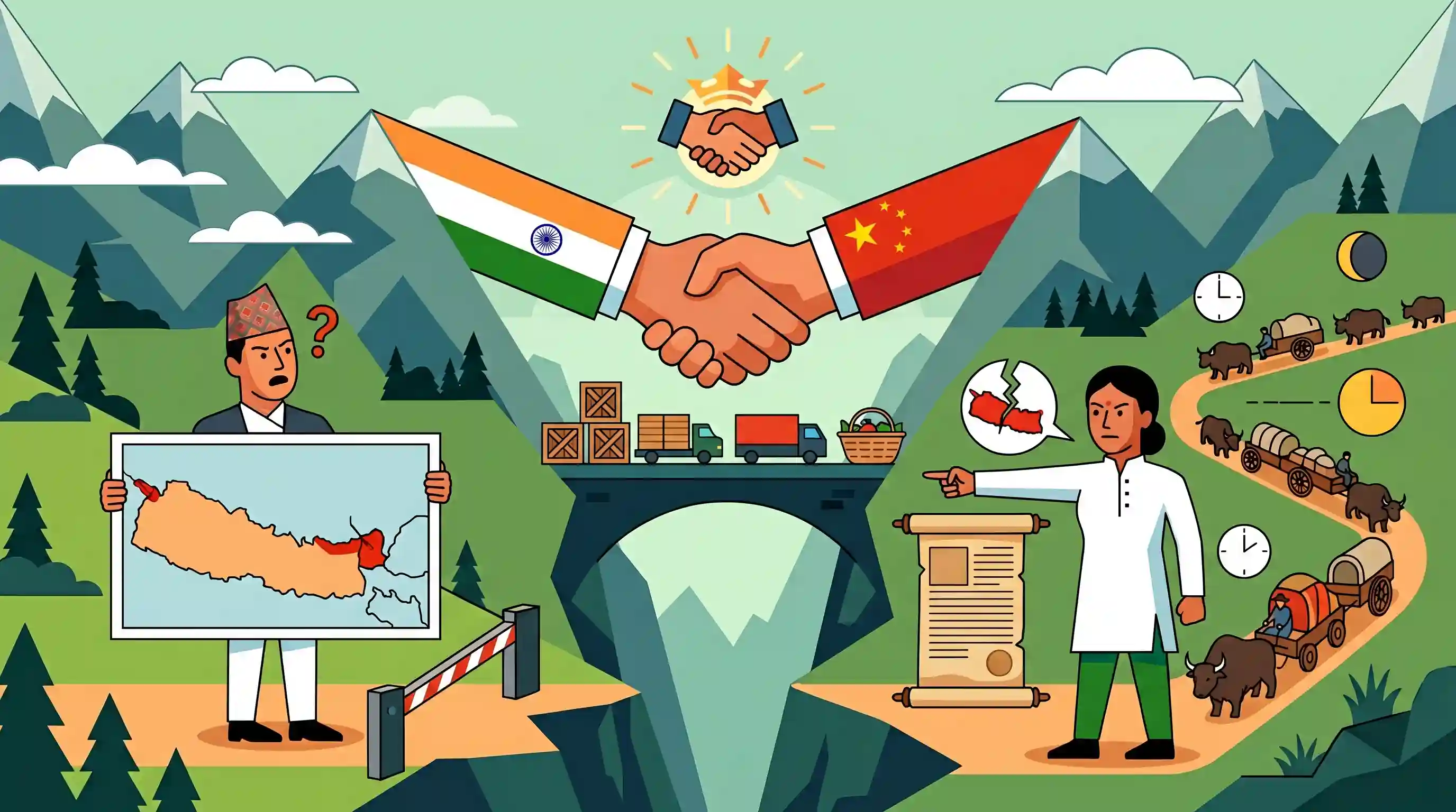
India has formally refuted Nepal's diplomatic objection to an agreement between India and China aimed at resuming border trade through the Lipulekh Pass in Uttarakhand. Nepal claims the Lipulekh, Kalapani, and Limpiyadhura regions as its sovereign territory, pointing to its revised 2020 political map. However, India's Ministry of External Affairs dismissed these claims as historically baseless, clarifying that border trade through Lipulekh is not a new development but a continuous practice that started in 1954 and was merely paused due to the COVID-19 pandemic.
Key Points
- India formally rejected Nepal's objection to the resumption of India-China border trade via the Lipulekh Pass in Uttarakhand.
- Nepal considers Lipulekh, Kalapani, and Limpiyadhura (east of the Mahakali River) as its sovereign territory, a claim it formalized in its 2020 political map.
- India's MEA asserted that border trade through Lipulekh has been ongoing since 1954 and was only temporarily disrupted by the COVID-19 pandemic.
- India characterized Nepal's territorial claims over the region as unjustified and devoid of historical basis.
Important Terms
Lipulekh Pass

A strategic Himalayan pass in Uttarakhand situated at the India-China-Nepal tri-junction. It serves as a vital route for border trade and the Kailash Mansarovar Yatra pilgrimage.
UPSC context
GS Paper 2 (International Relations) and GS Paper 1 (Geography). Vital for border management and neighborhood diplomacy.
Kalapani Territory
A 35-square-kilometer disputed territory between India and Nepal in Uttarakhand. While India maintains administrative and military control, Nepal claims it based on river-origin interpretations.
UPSC context
GS Paper 2. A major flashpoint in India-Nepal relations testing bilateral boundary resolution mechanisms.
Treaty of Sugauli (1816)
The 1816 agreement between the British East India Company and Nepal ending the Anglo-Nepalese War. It defined the Kali River as Nepal's western boundary, sparking modern disputes.
UPSC context
GS Paper 1 (Modern History) and GS Paper 2 (International Relations). The historical legal foundation for India-Nepal border demarcations.
Limpiyadhura
A region in the high Himalayas which Nepal claims is the true source of the Kali River, thereby claiming all territory to its east, including Kalapani and Lipulekh.
UPSC context
GS Paper 1 (Geography) and GS Paper 2. Central to the geographical and cartographic dispute between India and Nepal.
Ministry of External Affairs (MEA)
The central Indian government agency responsible for managing foreign relations, implementing foreign policy, and representing India in international disputes and bilateral negotiations.
UPSC context
GS Paper 2. Primary body for implementing 'Neighborhood First' policy and managing diplomatic ties.
Cartographic Assertion
The unilateral issuance of updated maps to include disputed territories, as seen in Nepal's 2020 constitutional amendment to include Lipulekh, Kalapani, and Limpiyadhura.
UPSC context
GS Paper 2. Important for understanding "map diplomacy" and territorial sovereignty issues in South Asian geopolitics.
Prelims Trap
"The Lipulekh agreement establishes a newly created bilateral trade route between India and China."
Aspirants often mistake resumed border routes as new agreements. India-China trade via Lipulekh has been a continuous practice since 1954, only paused during COVID-19.
Static Concepts Connected
What is the historical root of the Kalapani territorial dispute?
- Treaty of Sugauli: Signed in 1816 after the Anglo-Nepalese War, it established the Kali (Mahakali) River as Nepal's western boundary with British India.
- Geographic Ambiguity: The treaty did not explicitly demarcate the river's exact source. India claims it begins at Kalapani, while Nepal claims it originates further west at Limpiyadhura.
- 2020 Cartographic Escalation: Nepal passed a constitutional amendment in 2020 to issue a new political map incorporating Kalapani, Lipulekh, and Limpiyadhura into its territory.
Which are the official Himalayan border trading passes between India and China?
- Lipulekh Pass: Located in Uttarakhand at the tri-junction, it was the first overland border trade route opened between the two countries in 1992.
- Shipki La: Located in the Kinnaur district of Himachal Pradesh (where the Sutlej river enters India), it was opened for border trade in 1994.
- Nathu La: Located in Sikkim, this historic offshoot of the ancient Silk Route was re-opened for bilateral trade in 2006.
Cross-Topic Patterns
Border Roads & Neighborhood Friction
India's push for border infrastructure (like the Dharchula-Lipulekh road) triggers cartographic anxiety in smaller neighbors, inherently linking internal security mandates with neighborhood diplomacy.
Cultural Diplomacy via Geography
Lipulekh is the traditional overland gateway for the Kailash Mansarovar Yatra, intertwining strategic tri-junction border management with ancient cultural and religious linkages.

Expect a multi-statement prelims question mapping Himalayan passes (Lipulekh, Shipki La) to their trading status, rivers, and treaties.
Linked PYQs · 2
Linked PYQs · 2
- 2007PrelimsGS1
Which one of the following Himalayan passes was reopened around in the middle of the year 2006 to facilitate trade between India and China?
- 2012MainsGS2
Discuss the contentious issues that have caused the prolonged constitutional logjam in Nepal.
