Coastline Paradox and High-Resolution Mapping of Indian Maritime Zones
Source:Indian Express ↗
Why It Matters
Understanding the mechanics of measuring India's coastline is essential for UPSC aspirants, as it connects core physical geography (the coastline paradox) with strategic international relations (UNCLOS baselines, EEZ claims) and internal security (coastal border management).
Summary
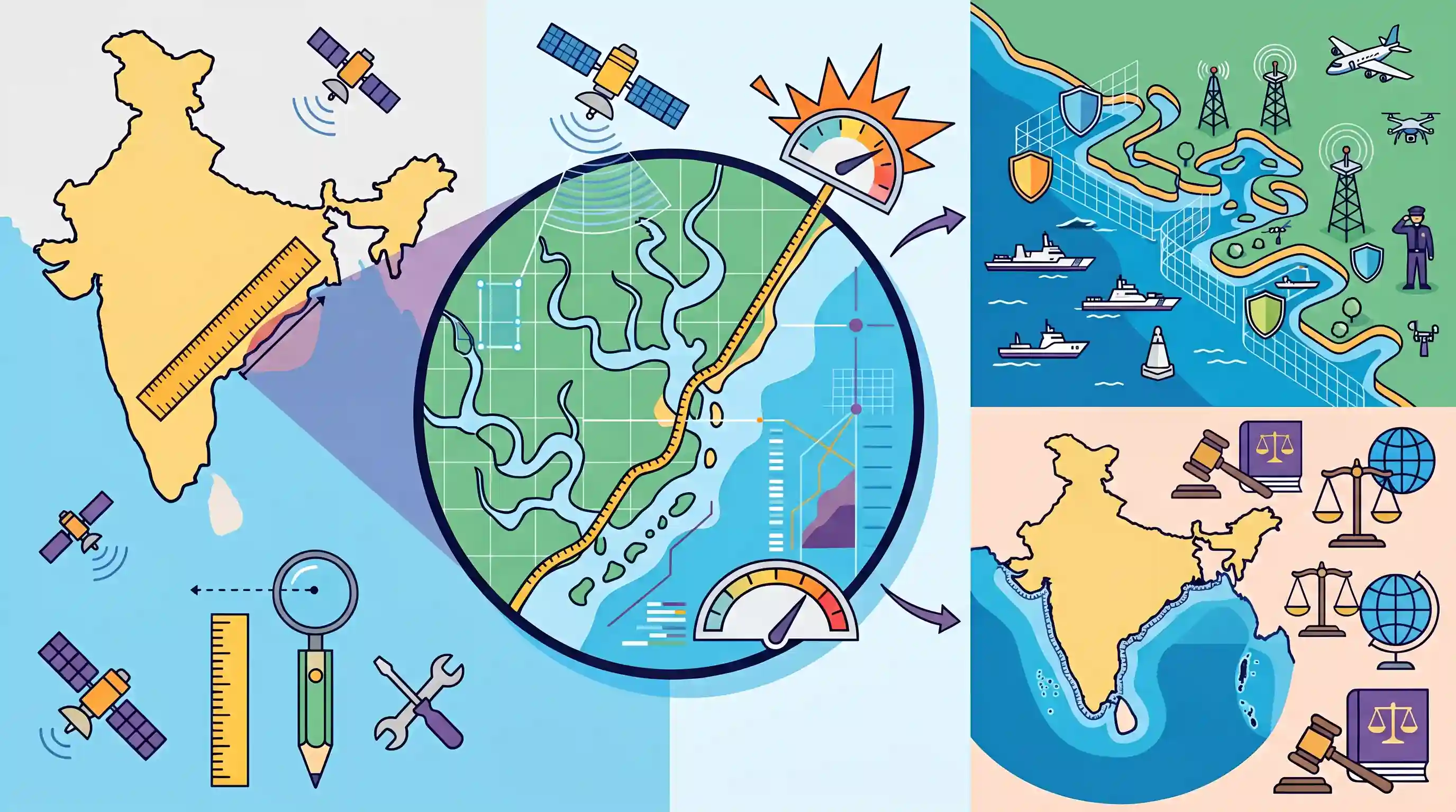
The article explains how India's recognized coastline has effectively 'expanded' by more than 3,500 km beyond the traditionally cited figure of 7,516.6 km. This increase is primarily due to advanced, high-resolution cartographic mapping and the inclusion of numerous small islands and complex coastal indentations (such as creeks and estuaries). This phenomenon, known as the 'coastline paradox', means that measuring at a finer scale yields a significantly longer perimeter. Beyond a mere geographic update, this precise mapping has critical implications for refining India's baselines under the United Nations Convention on the Law of the Sea (UNCLOS), thereby solidifying its maritime zones like the Exclusive Economic Zone (EEZ), and enhancing coastal security frameworks.
Key Points
- Coastline Paradox: The apparent increase in India's coastline length by 3,500 km is a classic example of the coastline paradox, where measuring at a finer, higher-resolution scale captures more intricate indentations, yielding a longer total length.
- Island and Estuary Mapping: The revised figures account for previously unmapped or generalized small islands, islets, creeks, and complex estuarine networks, especially in island territories like Andaman & Nicobar.
- UNCLOS and Maritime Zones: Accurately mapping the coastline establishes precise baselines, which are critical for demarcating India's Territorial Sea, Contiguous Zone, and Exclusive Economic Zone (EEZ) under international law.
- Coastal Security and Administration: High-resolution coastal data is vital for maritime surveillance, effective border management by the Coast Guard and Navy, coastal zone regulation, and mitigating climate change-induced erosion.
Important Terms
United Nations Convention on the Law of the Sea (UNCLOS)

A 1982 international treaty establishing a comprehensive legal framework for ocean governance, defining maritime zones, navigation rights, and responsibilities for protecting the marine environment.
UPSC context
GS Paper II (International Relations). Tests knowledge of global maritime governance and India's rights within its maritime domain.
Exclusive Economic Zone (EEZ)
A sea zone extending 200 nautical miles from a coastal state's baseline, granting sovereign rights over resource exploration, exploitation, and management of both living and non-living resources.
UPSC context
GS Paper III (Economy/Security). Vital for understanding India's 'Blue Economy' potential and maritime security frameworks.
Coastline Paradox
The mathematical observation that a coastline's measured length increases as the scale of measurement becomes finer, due to its irregular, fractal-like nature.
UPSC context
GS Paper I (Geography). Explains why India's official coastline length can 'expand' through higher-resolution cartographic mapping.
National Hydrographic Office (NHO)
The nodal agency of the Indian Navy responsible for hydrographic surveys and the publication of official nautical charts for safe maritime navigation.
UPSC context
GS Paper III (Security). Highlights the role of naval institutions in maritime domain awareness and coastal border management.
Survey of India
India's principal mapping agency under the Department of Science and Technology, responsible for geodetic surveys, topographical mapping, and demarcating international and inter-state boundaries.
UPSC context
GS Paper I/III. Tests awareness of India's oldest scientific department and its role in national security and planning.
Baseline (Maritime)
The low-water line along the coast or straight lines across indentations used under UNCLOS as the starting point to measure maritime zones.
UPSC context
GS Paper II/III. Crucial for determining the legal extent of India's territorial waters and sovereign maritime rights.
Prelims Trap
India acquired new island territories and coastal landmasses, increasing its total coastline by 3,500 km.
The increase is entirely cartographic. Known as the 'coastline paradox', using higher-resolution mapping captures more intricate coastal indentations, increasing the measured length without adding physical territory.
Static Concepts Connected
What are the 3 key maritime zones defined under UNCLOS?
- Territorial Sea: Up to 12 nautical miles from the baseline; the coastal state exercises complete sovereignty over air, sea, and seabed.
- Contiguous Zone: Extends 12 to 24 nm; the state holds jurisdiction strictly for customs, fiscal, immigration, and sanitary laws.
- Exclusive Economic Zone (EEZ): Up to 200 nm; the state holds exclusive sovereign rights to explore, exploit, and manage living and non-living marine resources.
How do tidal lines dictate India's Coastal Regulation Zone (CRZ)?
- High Tide Line (HTL): HTL is the line on land up to which the highest water line reaches during the spring tide, acting as the primary baseline for CRZ limits.
- Inter-tidal Zone: The fragile area between the HTL and the Low Tide Line (LTL) is heavily restricted to protect coastal ecosystems from unregulated commercial construction.
Cross-Topic Patterns
Coastline mapping & Sir Creek dispute
Granular creek mapping directly impacts border disputes like Sir Creek, which relies on defining the navigable channel's center (Thalweg principle) via precise coastal baselines.
EEZ demarcation & Deep Ocean Mission
Refining baselines secures India's maximum Exclusive Economic Zone, providing a solid legal foundation for its Deep Ocean Mission and seabed mining rights under the ISA.

The 'Coastline Paradox' combined with UNCLOS baseline demarcations is highly probable as a Prelims conceptual statement question in 2026.
Linked PYQs · 3
Linked PYQs · 3
- 2022PrelimsGS1
With reference to the United Nations Convention on the Law of Sea, consider the following statements : 1. A coastal state has the right to establish the breadth of its territorial sea up to a limit not exceeding 12 nautical miles, measured from baseline determined in accordance with the convention. 2. Ships of all states, whether coastal or land-locked, enjoy the right of innocent passage through the territorial sea. 3. The Exclusive Economic Zone shall not extend beyond 200 nautical miles from the baseline from which the breadth of the territorial sea is measured. Which of the statements given above are correct?
- 2025MainsGS3
Why is maritime security vital to protect India's sea trade? Discuss maritime and coastal security challenges and the way forward.
- 2016MainsGS3
Border management is a complex task due to difficult terrain and hostile relations with some countries. Elucidate the challenges and strategies for effective border management.
