India China Push to Resume Lipulekh Trade Sparks Nepal Concerns
Source:asianews-network ↗
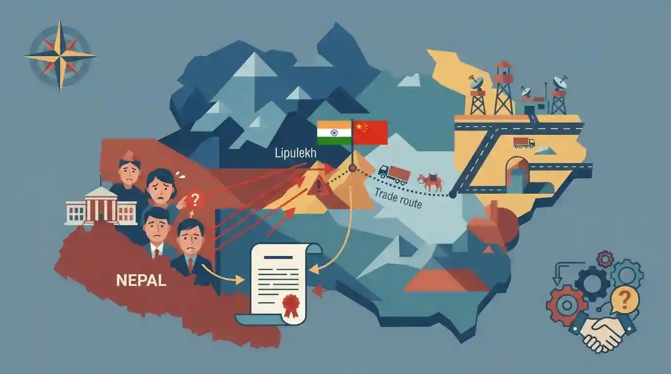
Why It Matters
Important for understanding India-Nepal border disputes, bilateral friction points, and the geographical significance of Uttarakhand's border passes (Lipulekh) in regional geopolitics.
Summary
The renewed push by India and China to resume border trade via the Lipulekh Pass has sparked strong reactions and concerns in Nepal, which stakes territorial claims over the region. The article examines the geopolitical tensions, historical treaty claims (Treaty of Sugauli), and regional strategic implications involving Uttarakhand's border area.
Key Points
- India and China are pushing to resume border trade via the strategic Lipulekh Pass, which has reignited diplomatic concerns and protests in Nepal.
- Nepal claims sovereignty over the Kalapani-Lipulekh-Limpiyadhura region, citing the 1816 Treaty of Sugauli which designates the Kali River east as Nepali territory.
- Lipulekh Pass is located in the Pithoragarh district of Uttarakhand, serving as a tri-junction between India, China, and Nepal, and holds immense geopolitical and economic significance.
- Bilateral relations between India and Nepal face strains over unilateral infrastructure and trade initiatives in disputed border territories.
Important Terms
Treaty of Sugauli

A historic 1816 treaty that ended the Anglo-Nepalese War and set the Kali River as Nepal's western boundary, serving as the core legal basis for Nepal's territorial claims over Lipulekh.
UPSC context
UKPSC GS Paper (International Relations / Uttarakhand Geography) - Tests historical treaties, international boundaries, and territorial disputes with neighboring countries.
Lipulekh Pass
A strategic Himalayan mountain pass located in the tri-junction of India, China, and Nepal, serving as a critical route for cross-border trade and the Kailash Mansarovar Yatra.
UPSC context
UKPSC GS Paper (Uttarakhand Geography / Border Security) - Tests strategic mountain passes, regional trade routes, and international border geopolitics.
Prelims Trap
Treaty of Sugauli designates the Kali River east as Nepali territory
Aspirants often confuse the origin of the Kali River under the 1816 Treaty of Sugauli, attributing it to incorrect feeder streams in the Kalapani region.
Static Concepts Connected
What are the major Himalayan passes located in the Pithoragarh district of Uttarakhand?
- Lipulekh Pass: Lipulekh Pass links Pithoragarh with Tibet (China) and serves as the tri-junction for India, China, and Nepal.
- Limpiyadhura Pass: Limpiyadhura Pass is situated in the higher ridges west of the Kali River source claimed by Nepal.
- Geographic Distinction: Mana and Niti passes are located further northwest in Chamoli district rather than Pithoragarh.
Cross-Topic Patterns
Uttarakhand Border Geography & Indo-Nepal Treaties
The Treaty of Sugauli and Kali River boundary disputes frequently intersect with Uttarakhand administrative geography questions in UKPSC Prelims and Mains.
Strategic Himalayan Passes & Pilgrimage Infrastructure
High-altitude Himalayan passes like Lipulekh serve both pilgrimage routes (Kailash Mansarovar) and strategic military logistics for border security.

Expect a multi-statement question combining the Treaty of Sugauli river demarcation and the geography of Pithoragarh's tri-junction passes.
Linked PYQs · 2
Linked PYQs · 2
- 2024UKPSC_PRELIMSGS1
'Untadhura Pass' is situated near which one of the following glaciers of Uttarakhand ?
- 2024UKPSC_PRELIMSGS1
The McMahon line demarcates the boundary between which of the following options ?
