IMD predicts intensified monsoon activity across Uttar Pradesh
Source:theprint ↗
Why It Matters
Understanding the temporal and spatial distribution of monsoon rainfall in Uttar Pradesh is crucial for UPPSC aspirants, as it directly relates to the state's 9 agro-climatic zones, agricultural planning, and regional geography topics frequently tested in the Prelims.
Summary
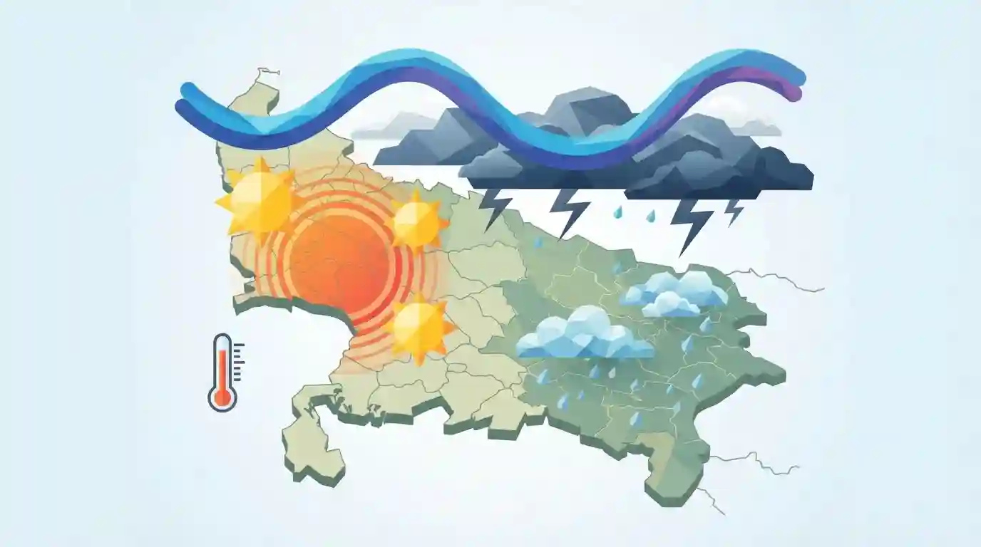
The India Meteorological Department (IMD) has predicted that monsoon activity will intensify in Uttar Pradesh, bringing widespread rain and thundershowers. Despite some districts like Azamgarh, Ballia, and Gorakhpur receiving light to moderate rainfall, temperatures have remained uncomfortably high across much of the state, with Meerut recording a maximum of 37.2°C. The forecast indicates potential isolated heavy downpours in the coming days as the monsoon trough becomes more active over the region.
Key Points
- The India Meteorological Department (IMD) forecasts an acceleration of monsoon activity across Uttar Pradesh.
- Despite sporadic light to moderate rains in districts like Ballia and Gorakhpur, maximum temperatures remained above normal, with Meerut recording the state's highest at 37.2°C.
- Isolated heavy rainfall is anticipated, highlighting the spatial variability of monsoon precipitation across the state's regions.
Important Terms
India Meteorological Department (IMD)

The principal government agency under the Ministry of Earth Sciences responsible for meteorological observations, weather forecasting, and seismology. It tracks the monsoon and issues vital early warnings for weather hazards.
UPSC context
Crucial for GS-1 Geography and GS-3 Disaster Management. It tests awareness of India's institutional capacity for climate prediction.
Monsoon Trough
An elongated low-pressure belt stretching across the Indo-Gangetic plain during the southwest monsoon. Representing the seasonal shift of the ITCZ, its movement controls the spatial distribution and breaks in India's rainfall.
UPSC context
Key GS-1 Physical Geography concept; tests understanding of India's active and break monsoon cycles and their regional climate effects.
Indian Monsoon
A major meteorological phenomenon characterized by a seasonal reversal of winds over the subcontinent, driven by the differential heating of land and ocean. It delivers the bulk of India's annual rainfall.
UPSC context
Core GS-1 Geography and GS-3 Economy topic. It tests the mechanisms of climate patterns and their critical agricultural impact.
Prelims Trap
"A 'break' in the Indian monsoon leads to uniformly dry conditions and no rainfall across all of Northern India."
False. During a break, the monsoon trough shifts north to the Himalayan foothills, triggering intense orographic rainfall in the Tarai region of UP and Bihar.
Static Concepts Connected
How does the Monsoon Trough influence rainfall distribution?
- Low-pressure axis: It is a semi-permanent low-pressure trough stretching from Pakistan to the Bay of Bengal during the Southwest Monsoon season.
- Active phase: When positioned over the central plains, it brings widespread and active rainfall to the core monsoon zone of India.
- Break phase: Its northward shift to the Himalayan foothills causes dry spells in the plains but intense orographic rainfall in the Tarai.
Why does Eastern UP receive more rainfall than Western UP?
- Moisture depletion: As the Bay of Bengal branch of the monsoon moves westward up the Indo-Gangetic plain, it progressively sheds moisture, reducing rainfall intensity.
- Wind deflection: Deflected by the Himalayas, these winds enter the region as easterlies (Purvaiya), resulting in heavier initial rainfall in Eastern UP compared to the West.
Cross-Topic Patterns
Monsoon variability & Agro-Climatic Zones
The spatial disparity of rainfall necessitates UP's division into 9 agro-climatic zones, dictating distinct cropping patterns like water-intensive paddy in the wet east and sugarcane in the west.
Humid heatwaves during monsoon seasons
High temperatures alongside sporadic rainfall highlight the rising threat of wet-bulb temperatures and humid heatwaves, linking physical climatology with public health and urban disaster management.

The shift of the 'Monsoon Trough' and its contrasting rainfall impacts on Tarai vs Central plains is ripe for a 2026 assertion-reason Q.
Linked PYQs · 4
Linked PYQs · 4
- 2014UPPSC_PRELIMSGS1
The number of agro-climate zones in Uttar Pradesh is
- 2017UPPSC_PRELIMSGS1
How many agro climatic zones are found in Uttar Pradesh?
- 2017UPPSC_PRELIMSGS1
Amount of rain depends on:
- 2022UPPSC_PRELIMSGS1
Given below are two statements, one is labelled as Assertion (A) and the other as Reason (R). Assertion (A) : Agra and Darjeeling are located on the same latitude but temperature of January in Agra is 16° Centigrade whereas it is only 4° Centigrade in Darjeeling. Reason (R) : Temperature decreases with height and due to thin air, places in the mountains are cooler than places in the plains. Select the correct answer from the code given below :
