IMD Forecasts Rain Spell to Reduce Uttarakhand Monsoon Deficit
Source:times-of-india ↗
Why It Matters
Analyzing spatial variations in monsoon distribution and the function of the India Meteorological Department is essential for disaster mitigation, ecological conservation, and agricultural planning in Uttarakhand. This aligns with UKPSC's frequent testing of Himalayan geography, meteorological infrastructure (e.g., the Doppler Radar in Mukteshwar), and climate vulnerabilities.
Summary
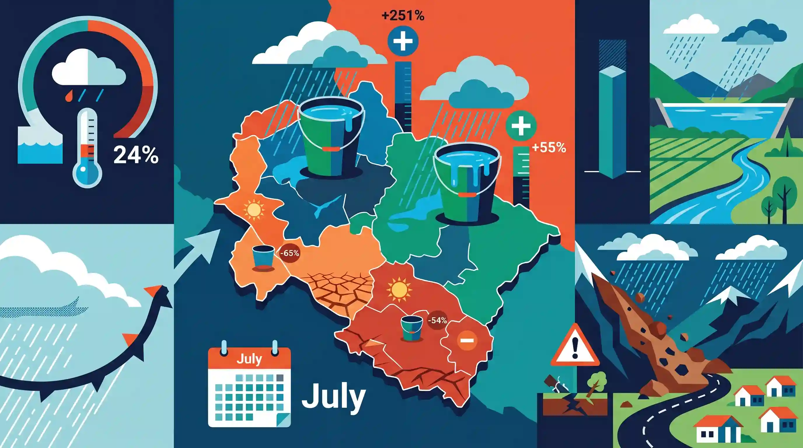
The India Meteorological Department (IMD) has forecast a stronger spell of rain across Uttarakhand to help ease a 24% monsoon rainfall deficit recorded from June 1 to July 7, 2026. Highlighting the highly uneven spatial distribution of Southwest Monsoon precipitation, IMD data shows massive surpluses in districts like Bageshwar (+251%) and Chamoli (+55%), contrasted by deep deficits in Pauri Garhwal (-65%) and Nainital (-54%). Since July is traditionally the wettest month in the state, widespread rain during this period is critical for water resource replenishment but also heightens the risk of disasters like landslides in the fragile Himalayan terrain.
Key Points
- Uttarakhand recorded a 24% overall rainfall deficit in the Southwest Monsoon between June 1 and July 7, 2026.
- July is historically the wettest month in Uttarakhand and accounts for the largest share of the state's seasonal rainfall, making precipitation in this month vital for overcoming the deficit.
- The monsoon rainfall has been highly unevenly distributed across the districts. Bageshwar registered the highest surplus (+251%), followed by Chamoli (+55%), Uttarkashi (+45%), and Tehri Garhwal (+33%).
- Pauri Garhwal experienced the highest rainfall deficit (-65%), followed by Nainital (-54%), Rudraprayag (-26%), Champawat (-16%), and Pithoragarh (-14%).
- The Regional Meteorological Centre (RMC) in Dehradun, represented by senior scientist Rohit Thapliyal, plays a key role in predicting active weather spells and issuing alerts for extreme precipitation events.
- Monsoon patterns in Uttarakhand have direct ties to natural hazards such as landslides, which are historically the most devastating natural calamities in the state.
Important Terms
India Meteorological Department

The principal government agency under the Ministry of Earth Sciences responsible for meteorological observations, weather forecasting, climate services, and early warnings for natural disasters.
UPSC context
GS Paper I (Climatology) and GS III (Disaster Management); tests national weather systems, mandates, and warning mechanisms.
Southwest Monsoon
A seasonal wind system blowing from sea to land (June–September) that delivers nearly 75% to 80% of India's annual rainfall, driving the country's agricultural calendar.
UPSC context
GS Paper I (Physical Geography); tests the physical mechanisms, onset, spatial variability, and economic significance of India's primary monsoon.
Meteorological Centre, Dehradun
The state-level meteorological office of the IMD located in Uttarakhand, operating under RMC New Delhi to provide localized forecasting, alerts, and rain monitoring.
UPSC context
GS Paper I (Geography of Uttarakhand) and GS III (Disaster Management); tests localized weather monitoring in hazard-prone mountain terrain.
Monsoon Deficit
A condition where actual seasonal or monthly rainfall drops significantly below the benchmark Long Period Average (LPA), risking drought, agricultural stress, and economic inflation.
UPSC context
GS Paper III (Indian Economy & Agriculture); tests the impacts of rainfall variability on crop cycles, water reserves, and inflation.
Prelims Trap
Monsoon precipitation in the Himalayas increases continuously with altitude, peaking in the Great Himalaya (Himadri) zone due to higher elevation.
In reality, precipitation peaks on the southern slopes of the Lesser Himalayas/Shiwaliks. The Great Himalayas act as a massive barrier, casting a rain-shadow effect further north.
Static Concepts Connected
How does Himalayan topography influence spatial rainfall distribution during the Southwest Monsoon?
- Orographic barrier: The Shiwalik and Lesser Himalaya intercept moisture-laden winds, causing intense precipitation on their southern windward slopes.
- Rain-shadow effect: Air mass dries and descends after crossing high ridges, making the inner Great Himalaya and Trans-Himalaya zones significantly arid.
- Microclimatic pockets: Extreme relief variations over short distances create highly localized microclimates, explaining stark precipitation differences between neighboring valleys.
What is the role of Doppler Weather Radar (DWR) in disaster mitigation?
- Doppler shift: Measures frequency changes in returned microwave pulses to calculate the speed and direction of moving rain droplets.
- Early warnings: Detects localized severe convective storms, cloudbursts, and heavy rainfall, giving critical lead time for landslide and flash flood evacuations.
- Himalayan coverage: Uses X-band or C-band radars on mountain peaks to overcome terrain blocking and monitor fragile watersheds.
Cross-Topic Patterns
Himalayan Hydropower vs. Monsoon Deficits
Erratic precipitation and extreme rainfall events threaten the financial viability and structural safety of cascade run-of-the-river dams in fragile ecological zones.
Uneven Monsoons and Mountain Migration
Severe microclimatic water stress triggers crop failures in districts like Pauri Garhwal, accelerating the socio-economic phenomenon of 'ghost villages' in the Middle Himalayas.

Himalayan microclimates, Doppler radar mechanics, and landslide-zonation linkages are highly likely to merge into a single 2026 Prelims question.
Linked PYQs · 3
Linked PYQs · 3
- 2021UKPSC_PRELIMSGS1
At which place in Uttarakhand did the Indian, Meteorological Department install a Doppler Weather Radar?
- 2007UKPSC_PRELIMSGS1
Which of the following Natural Calamity has the most devastating impact in Uttarakhand State?
- 2025UKPSC_PRELIMSGS1
Consider the following statements and select the correct answer from the options given below : Statement 1 : Uttarakhand is highly vulnerable to climate change. Statement 2 : Climate change is causing water stress and depleting biodiversity in Uttarakhand.
