Himalaya Diwas Highlights Glacier Retreat and Water Security Issues
Source:usthadian ↗
Why It Matters
Crucial for UKPSC aspirants studying Uttarakhand's physical geography, environmental vulnerabilities, and ecological significance of the Himalayan ecosystem.
Summary
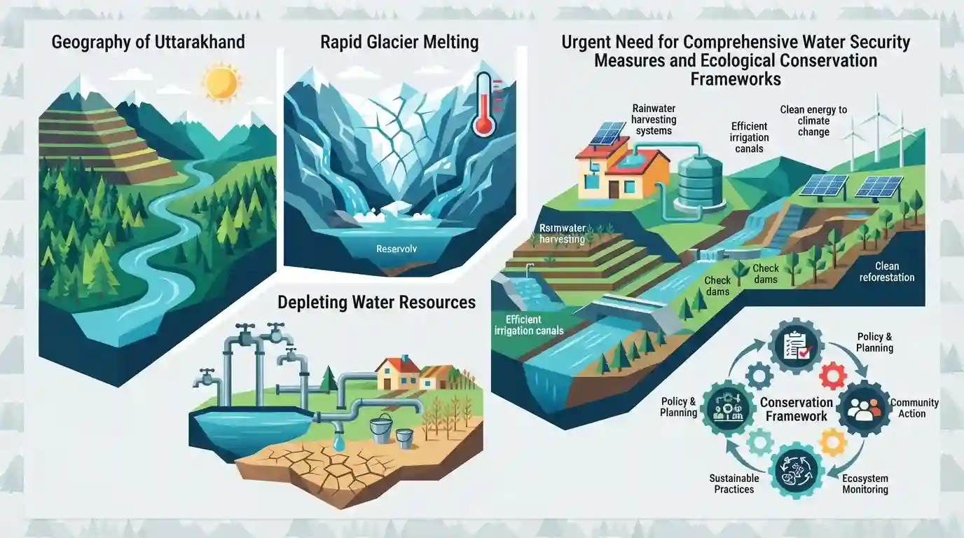
The article covers the highlights of Himalaya Diwas 2026, focusing heavily on pressing environmental threats to the Himalayan ecosystem, including rapid glacier melting, depleting water resources, and the urgent need for comprehensive water security measures and ecological conservation frameworks in Uttarakhand.
Key Points
- Himalaya Diwas is observed annually to highlight the critical ecological challenges facing the Himalayan region, particularly glacier retreat and water security.
- Glaciers in the Himalayas are receding at an alarming rate due to climate change, posing severe threats to perennial river systems and downstream populations.
- Water security, spring rejuvenation, and sustainable watershed management are highlighted as vital priorities for policy and community action in Uttarakhand.
- Experts and policymakers emphasize the integration of traditional ecological knowledge with scientific mitigation strategies to protect fragile mountain ecosystems.
Important Terms
Himalaya Diwas

An annual observance held on September 9 in Uttarakhand to raise awareness about ecological conservation, glacier preservation, and the sustainable management of the Himalayan mountain ecosystem.
UPSC context
UKPSC Paper 5 (Uttarakhand Geography and Environment); tests awareness of state-level environmental initiatives, disaster resilience, and ecological preservation of the mountain range.
Static Concepts Connected
What are the major river basins originating from Uttarakhand's Himalayan glaciers and their main tributaries?
- Ganga System: Alaknanda and Bhagirathi are the two headstreams of the Ganga, meeting at Devprayag after draining major glaciers like Gangotri and Satopanth.
- Yamuna System: Yamuna originates from the Yamunotri glacier in the Bandarpunch range, receiving major tributaries like Tons before flowing south.
- Kali System: Kali (Sharda) river forms the eastern boundary of Uttarakhand, originating from the Kalapani region in the Greater Himalayas.
Cross-Topic Patterns
Glacier Shrinkage & GLOF Disaster Management
Rapid retreat of Himalayan glaciers directly feeds into river-basin vulnerability and urban flash floods, connecting physical geography with disaster management protocols under the NDMA framework in Uttarakhand.
Watershed Management & Rural Decentralization
Spring rejuvenation and watershed management form the bedrock of rural livelihood security, bridging environmental conservation with decentralized governance under the 73rd Constitutional Amendment.

Himalayan glacier retreat data (ICIMOD/Khatling) + GLOF mitigation likely to be tested in UKPSC Mains Paper V and Prelims statements.
Linked PYQs · 2
Linked PYQs · 2
- 2025UKPSC_PRELIMSGS1
Which of the following is the correct order of the following physiographic regions of Uttarakhand from south to north direction?
- 2024UKPSC_PRELIMSGS1
Which of the following stream is the tributary of Girthi river in Uttarakhand ?
