Landslides Block Over 200 Roads Across Himachal Pradesh
Source:theprint ↗
Why It Matters
The HPAS Prelims frequently tests candidates on the geographical and climatic specifics of Himachal Pradesh, such as rainfall distribution, district-wise weather extremes (e.g., hottest and coldest places), and disaster vulnerability. This event provides current data points on these recurring themes.
Summary
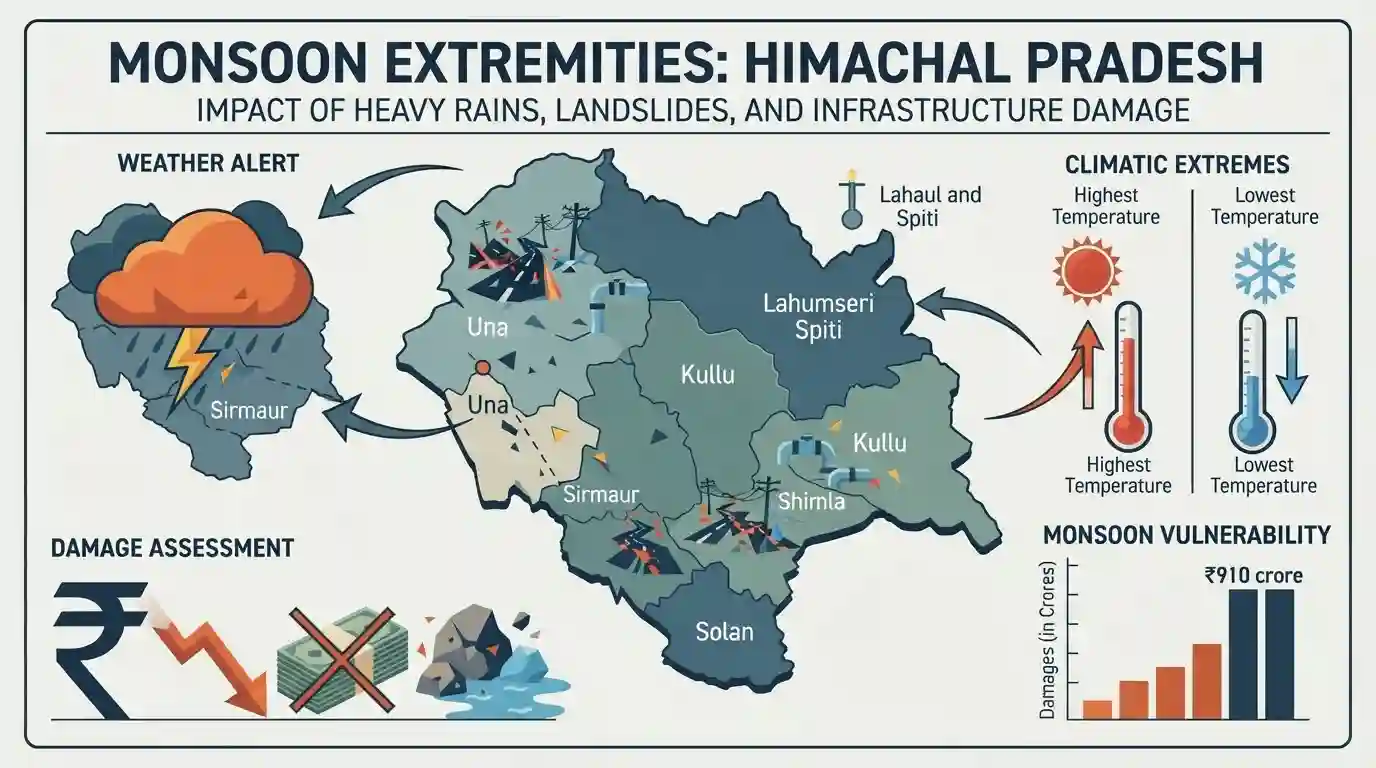
Severe monsoon rains in Himachal Pradesh have led to widespread destruction, triggering landslides that forced the closure of over 200 roads and disrupted essential water and power supplies. Critical incidents were reported in Shimla, Kullu, and Solan. The IMD issued an 'orange alert' warning of intense rainfall, particularly for the Sirmaur district. The climatic extremes of the state were also highlighted, with Una recording the highest temperature and Kukumseri the lowest. The disaster underscores the state's severe vulnerability to monsoon extremities, costing Rs 910 crore in damages so far.
Key Points
- Torrential rains triggered widespread landslides across Himachal Pradesh, resulting in the closure of over 200 roads, 82 water supply schemes, and 45 power transformers.
- Significant landslides occurred in the capital Shimla, Anni in Kullu district, and Bhararighat in Solan district, prompting the closure of educational institutions in Kullu.
- The IMD issued an 'orange alert' for heavy to very heavy rains, singling out Sirmaur district for severe weather conditions.
- Significant geographic temperature variations were recorded: Una was the hottest location at 30.2 degrees Celsius, while Kukumseri in Lahaul-Spiti was the coldest at 12.5 degrees Celsius.
- The ongoing monsoon season has inflicted damages amounting to approximately Rs 910 crore in the state, alongside 70 rain-related fatalities.
Important Terms
India Meteorological Department (IMD)

The principal government agency under the Ministry of Earth Sciences responsible for meteorological observations, weather forecasting, and seismology. It issues early warnings for natural hazards like extreme rainfall and cyclones.
UPSC context
GS Paper 3 (Disaster Management). Crucial for evaluating India's early warning capabilities and institutional framework for disaster risk reduction.
Orange Alert
A weather warning issued by the IMD meaning "Be Prepared." It indicates severely bad weather, such as intense rainfall, that has the potential to disrupt transport and power, requiring preemptive action by authorities.
UPSC context
GS Paper 3 (Disaster Management). Highlights the standardized, colour-coded early warning communication protocols used to mitigate hydrometeorological hazards in India.
Landslides
The downward movement of rock, soil, or debris down a slope under gravity. In fragile ecosystems like the Himalayas, they are often exacerbated by extreme monsoon rains, seismic activity, and unplanned human development.
UPSC context
GS Paper 1 (Geography) & GS 3 (Disaster Management). Essential for understanding geomorphic hazards, Himalayan ecology, and sustainable infrastructure planning.
Prelims Trap
An IMD 'Orange Alert' implies authorities must take immediate action to evacuate vulnerable populations.
Orange signifies 'Be Prepared' for disruption, while 'Red' signifies 'Take Action'. UPSC often swaps these exact definitions in multi-statement disaster management questions.
Static Concepts Connected
What are the four colour codes used by the IMD for weather warnings?
- Green (No Warning): No advisory is issued; weather conditions are normal and safe.
- Yellow (Be Aware): Indicates potentially worsening weather. Authorities and public must keep a watch.
- Orange (Be Prepared): Significant weather expected. Disruptions to transport and power are likely; keep ready.
- Red (Take Action): Extreme weather expected with potential risk to life and property. Immediate evacuation/action required.
Why are the Himalayas more prone to landslides than the Western Ghats?
- Tectonic Activity: The Himalayas are young, seismically active fold mountains, whereas the Western Ghats are on a stable shield.
- Rock Structure: Himalayas consist of fragile, unconsolidated sedimentary rocks, compared to the highly stable basalts of the Ghats.
- Steep Slopes: Extremely steep gradients in the Himalayas combined with heavy localized monsoon downpours rapidly induce mass wasting.
Cross-Topic Patterns
Run-of-the-river projects & landslides
Frequent landslides in Himachal raise questions about the viability of Himalayan run-of-the-river hydroelectricity, which faces severe siltation and structural damage during monsoon flash floods.
Altitudinal climate zonation in the Himalayas
The stark contrast between Una's heat and Kukumseri's cold highlights altitudinal zonation. This links mass wasting events to localized micro-climates and intense freeze-thaw weathering.

Expect a 2026 Prelims statement matching IMD colour alerts with precise administrative actions, combined with Himalayan landslide mechanics.
Linked PYQs · 3
Linked PYQs · 3
- 2024HPAS_PRELIMSGS1
Arrange the following climatic zones of Himachal Pradesh according to rainfall amount from lowest to highest : (1) Frigid aridic zone (2) Wet temperate zone (3) Humid sub-tropical zone (4) Sub-humid sub-tropical zone Choose the correct answer from the options given below :
- 2023HPAS_PRELIMSGS1
Consider the following statements : (1) The rainiest district in Himachal Pradesh is Kangra. (2) Rainfall in the Alpine region of Himachal Pradesh varies between 300-600 mm. (3) Winter season in Himachal Pradesh extends from October to March. (4) Mandi is the hottest place in Himachal Pradesh. Choose the correct answer from the options given below :
- 2025HPAS_PRELIMSGS1
Match List I with List II : | List-I (Code) | List-II (District) | |---|---| | (a) Highest Rainfall (2018 Data) | (i) Shimla | | (b) Second Most Incidents Reported (2024 Crime Data) | (ii) Mandi | | (c) Fourth Highest Population (2011 Census) | (iii) Kangra | | (d) Fourth Largest Area | (iv) Solan | Choose the correct answer from the options given below : Code: (a) (b) (c) (d)
