Schools Closed in Nahan Amid Heavy Rain Alert
Source:ndtv ↗
Why It Matters
The recurring hydro-meteorological hazards in Himachal Pradesh—such as flash floods, cloudbursts, and landslides—are central to the state's geographical and environmental profile. For HPAS Prelims, candidates must be familiar with the state's regional geography (districts, rivers, and valleys) and the localized impacts of extreme weather events, which form a substantial part of the GS1 syllabus.
Summary
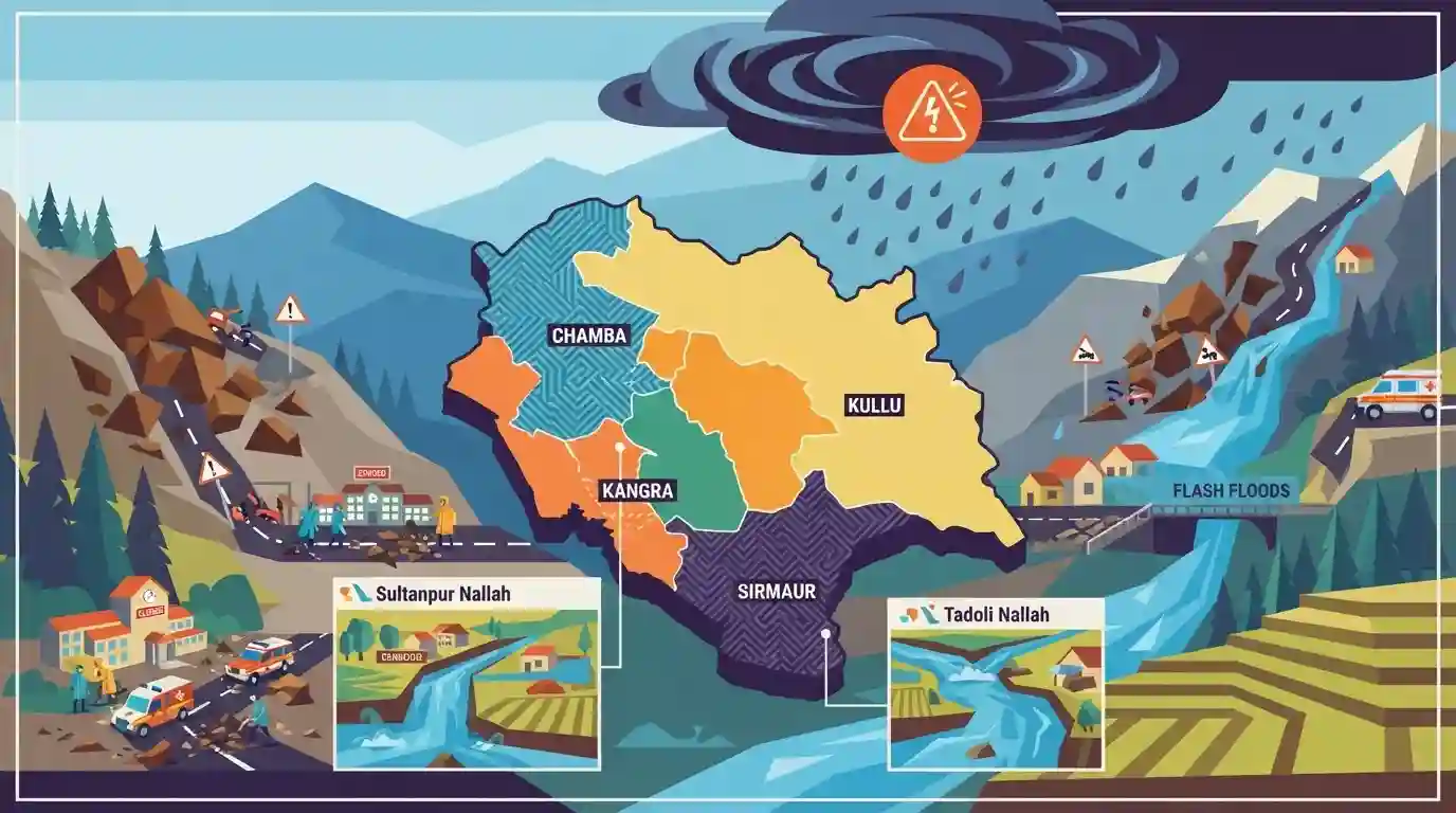
The India Meteorological Department (IMD) has issued an 'orange alert' for heavy rainfall in Himachal Pradesh, affecting critical districts such as Sirmaur, Chamba, Kangra, and Kullu. Triggered by the torrential rain, localized flash floods and landslides have blocked over 50 roads and damaged infrastructure across the state. In response to the hazardous conditions, local authorities have ordered the closure of all schools in the Nahan subdivision of Sirmaur district. The overflow of local streams, including Sultanpur Nallah and Tadoli Nallah, highlights the state's severe vulnerability to hydro-meteorological disasters during the monsoon.
Key Points
- The IMD issued an 'orange' alert predicting heavy rainfall across multiple districts in Himachal Pradesh, including Sirmaur, Chamba, Kangra, and Kullu.
- Due to intense rainfall and localized flash floods, the administration closed all schools in the Nahan subdivision of Sirmaur district.
- Flash floods in local streams like the Sultanpur Nallah (Chamba) and Tadoli Nallah have caused localized damage and water accumulation.
- More than 50 roads remain blocked across the state due to landslides, significantly disrupting transportation and communication networks.
Important Terms
India Meteorological Department (IMD)

The principal government agency under the Ministry of Earth Sciences responsible for meteorological observations, weather forecasting, seismology, and issuing early warning alerts for severe weather events across India.
UPSC context
GS Paper I (Climatology) and GS Paper III (Disaster Management); tests organizational mandates for handling natural weather hazards.
Orange Alert
A weather warning issued by the IMD indicating an intermediate risk of extremely bad weather. It signals authorities and residents to be prepared for disruptions like road closures and power outages.
UPSC context
GS Paper III (Disaster Management); tests understanding of early warning systems, color-coded weather forecasting, and administrative preparedness.
State Emergency Operation Centre (SEOC)
A state-level control room and command facility that acts as the nerve center for coordinating, monitoring, and managing real-time disaster preparedness, early warnings, and emergency response activities.
UPSC context
GS Paper III (Disaster Management); tests knowledge of decentralised institutional frameworks and crisis management structures under the DM Act, 2005.
Hydro-meteorological Disasters
Natural hazards or calamities driven by the interaction of atmospheric and hydrological processes, including extreme events such as flash floods, cloudbursts, cyclones, landslides, and droughts.
UPSC context
GS Paper III (Disaster Management) and GS Paper I (Geography); tests understanding of climate-induced hazards, their causes, and mitigation.
Prelims Trap
The Yamuna River basin is the largest river system in Himachal Pradesh, flowing through the central districts of Chamba and Kangra.
The Yamuna has the smallest catchment area among Himachal's five major rivers, only tracing the eastern boundary of Sirmaur district. Chamba and Kangra lie in the Ravi and Beas basins.
Static Concepts Connected
What do the four color-coded weather warnings issued by the IMD signify?
- Green (No Warning): No advisory is issued; weather conditions are expected to remain normal and safe.
- Yellow (Watch): Be updated. Signifies that weather is likely to deteriorate; individuals should monitor local weather updates.
- Orange (Alert): Be prepared. Anticipate significant disruptions in transport, power, or daily life; prepare for emergencies.
- Red (Warning): Take action. Extremely severe weather is imminent, posing threat to life; immediate safety measures are required.
Why is the Sirmaur region of Himachal Pradesh geographically unique?
- Yamuna entry point: It marks the easternmost boundary of the state, where the Yamuna River enters HP at Khadar Majri.
- Giri River bisection: This major tributary of the Yamuna physically bisects the Sirmaur district into the Cis-Giri and Trans-Giri regions.
- Shivalik topography: The southern part of Sirmaur (Nahan) lies in the Shivaliks and acts as the catchment for the rainfed Markanda River.
Cross-Topic Patterns
Himalayan ecology vs Infrastructure development
Aggressive road-cutting and tourism infrastructure in fragile zones like Nahan and Chamba compromise slope stability, transforming regular monsoon rains into devastating landslides.
Disaster financing and cooperative federalism
Frequent localized extreme weather events in hilly states test the cooperative federal financial sharing formulas under the National and State Disaster Response Funds.

Mains 2026 may link Shivalik drainage vulnerabilities to localized flash floods, testing micro-watershed management strategies.
Linked PYQs · 3
Linked PYQs · 3
- 2025HPAS_PRELIMSGS1
Match List I with List II : | List-I (Code) | List-II (District) | |---|---| | (a) Highest Rainfall (2018 Data) | (i) Shimla | | (b) Second Most Incidents Reported (2024 Crime Data) | (ii) Mandi | | (c) Fourth Highest Population (2011 Census) | (iii) Kangra | | (d) Fourth Largest Area | (iv) Solan | Choose the correct answer from the options given below : Code: (a) (b) (c) (d)
- 2024HPAS_PRELIMSGS1
Consider the following statements : (1) Monkey valley lies in Chamba. (2) Kiarda Dun valley lies in Kangra. (3) The Great Himalayas are referred as Alpine zone in Himachal Pradesh. (4) Churadhar pertain to Zanskar range in Himachal Pradesh Choose the correct answer from the options given below :
- 2024HPAS_PRELIMSGS1
Arrange the following states of India from highest to lowest flood prone area : (1) Bihar (2) Punjab (3) Rajasthan (4) Uttar Pradesh Choose the correct answer from the options given below :
