Himachal Pradesh activates disaster response as red warning issued
Source:the-tribune ↗
Why It Matters
Understanding IMD's color-coded weather alerts and disaster preparedness mechanisms is crucial for HPAS Prelims, as Himachal Pradesh is highly prone to hydro-meteorological disasters like flash floods, landslides, and cloudbursts. Questions on disaster management institutions and regional geography are common.
Summary
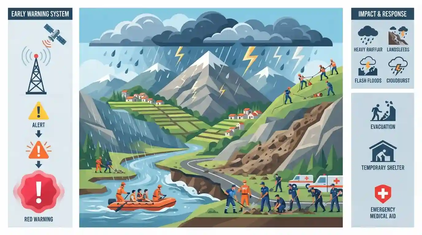
Himachal Pradesh is on high alert following a 'red warning' issued by the Meteorological Office, predicting very heavy to extremely heavy rainfall across several districts. The severe weather poses significant risks of flash floods, landslides, and cloudbursts, particularly in vulnerable areas. In response, disaster management protocols have been activated, with the NDRF, SDRF, and quick response teams deployed. The situation highlights the acute vulnerability of Himalayan states to extreme hydro-meteorological events and the critical role of early warning systems.
Key Points
- The Meteorological Office issued a red warning for extremely heavy rainfall in Chamba, Kangra, Kullu, Mandi, and Sirmaur districts of Himachal Pradesh.
- Orange and yellow alerts were issued for other districts, indicating varying degrees of heavy rainfall and thunderstorms.
- Authorities warned of isolated flash floods, landslides, cloudbursts, and soil erosion in vulnerable areas, particularly in Sirmaur, Kullu, Mandi, and Shimla districts.
- To mitigate disaster impact, NDRF, SDRF, police, and quick response teams have been put on high alert, and the public has been advised to stay away from rivers and avoid non-essential travel.
Important Terms
Indian Meteorological Department (IMD)

The IMD is India's principal agency for meteorological observations, weather forecasting, and seismology. It operates under the Ministry of Earth Sciences, issuing crucial early warnings for cyclones, monsoons, and extreme weather.
UPSC context
GS Paper 3 (Disaster Management). Crucial for understanding India's early warning systems, climate-resilience strategies, and institutional preparedness.
National Disaster Response Force (NDRF)
The NDRF is India's specialized, multi-disciplinary force constituted under the Disaster Management Act, 2005. It provides immediate, expert rescue and relief operations during natural or man-made disasters, including floods and earthquakes.
UPSC context
GS Paper 3 (Disaster Management). Tests knowledge of India's institutional framework and specialized forces for disaster response.
State Disaster Response Force (SDRF)
The SDRF is a state-level counterpart to the NDRF, established under the Disaster Management Act, 2005. It provides immediate, localized rescue and relief support during emergencies, acting as the state's specialized response unit.
UPSC context
GS Paper 3 (Disaster Management). Highlights the decentralized nature of India's disaster response and state-level preparedness capabilities.
Cloudburst
A cloudburst is an extreme, highly localized weather event defined by the IMD as sudden rainfall of 100 mm or more within one hour over a small geographical area (typically 20-30 sq. km).
UPSC context
GS Paper 1 (Geography) & GS 3 (Disaster Management). Important for assessing Himalayan vulnerability to hydro-meteorological extremes.
Red Warning
A "Red Warning" is the highest level in the IMD's color-coded weather alert system. It indicates extremely severe weather posing a significant risk to life, demanding that authorities "take action" and execute emergency protocols.
UPSC context
GS Paper 3 (Disaster Management). Tested to evaluate awareness of early warning dissemination, color-coded alerts, and preparedness.
Prelims Trap
A cloudburst is defined by the IMD as any heavy rainfall event exceeding 100 mm accumulated over a 24-hour period.
A cloudburst requires 100 mm or more precipitation in a single hour over a 20-30 sq km area, not accumulated over 24 hours.
Static Concepts Connected
What triggers a cloudburst and why is the Himalayan region highly vulnerable?
- Orographic lifting: Warm, moist air is rapidly forced upward by steep mountain topography, forming dense, highly localized cumulonimbus clouds.
- Valleys as funnels: Narrow mountain valleys restrict water drainage, rapidly amplifying runoff into sudden, destructive flash floods.
- Unstable geology: Tectonically active Himalayan slopes are highly fragile, making cloudbursts immediate triggers for massive landslide events.
What are the four color-coded weather warnings used by the IMD?
- Green and Yellow: Green signifies 'No warning' (no action), while Yellow signifies 'Be Aware' of worsening weather.
- Orange and Red: Orange warns to 'Be Prepared' for disruptions, while Red mandates 'Take Action' due to extreme threat.
Cross-Topic Patterns
Infrastructure development vs Ecological fragility
Unregulated highway widening and hydropower projects in the Himalayas destabilize slopes, turning natural rainfall events into severe anthropogenic disasters.
Federalism in disaster financing
The allocation and release of funds from the National/State Disaster Response Funds (NDRF/SDRF) often trigger center-state disputes during extreme weather events.

ISRO's Landslide Atlas findings and IMD's specific cloudburst metrics will likely feature as a conceptual GS-1/3 question in 2026.
Linked PYQs · 2
Linked PYQs · 2
- 2025HPAS_PRELIMSGS1
When was the National Centre for Disaster Management established in India ?
- 2025HPAS_PRELIMSGS1
Match List I with List II : | List-I (Code) | List-II (District) | |---|---| | (a) Highest Rainfall (2018 Data) | (i) Shimla | | (b) Second Most Incidents Reported (2024 Crime Data) | (ii) Mandi | | (c) Fourth Highest Population (2011 Census) | (iii) Kangra | | (d) Fourth Largest Area | (iv) Solan | Choose the correct answer from the options given below : Code: (a) (b) (c) (d)
