Manimahesh Yatra suspended due to heavy route damage in Chamba
Source:himtimes ↗
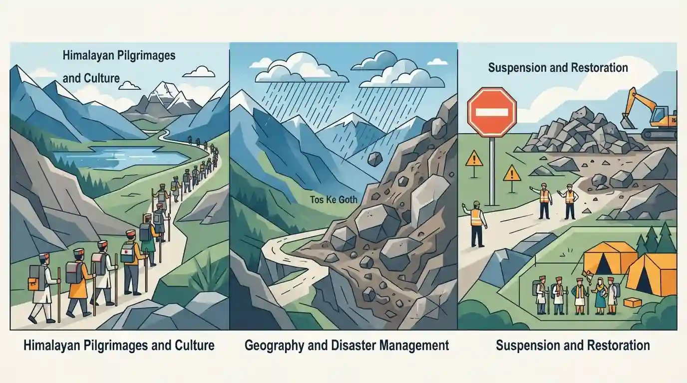
Why It Matters
The Manimahesh Yatra is one of Himachal Pradesh's most culturally and religiously significant events. Its disruption underscores the state's geographical vulnerability to extreme monsoon events like landslides, connecting cultural practices with regional geography and disaster management—frequent themes in HPAS Prelims.
Summary
The Manimahesh Yatra in Chamba district, Himachal Pradesh, has been temporarily suspended until August 25 after massive landslides caused severe route damage near Tos Ke Goth. Triggered by heavy monsoon rainfall, the damage impacted the 13-km trekking path stretching from Hadsar to Manimahesh Lake. The yatra, rooted in deep devotion to Lord Shiva, is traditionally held between Krishna Janmashtami and Radhashtami. Authorities have advised pilgrims to delay their journeys and remain in secure areas while restoration work is conducted, highlighting the persistent threat of weather-induced disasters to Himalayan tourism and pilgrimages.
Key Points
- The Manimahesh Yatra is a major annual pilgrimage in the Chamba district of Himachal Pradesh, dedicated to Lord Shiva.
- The 13-km traditional trek begins at Hadsar and concludes at the sacred high-altitude Manimahesh Lake.
- The pilgrimage traditionally commences on Krishna Janmashtami and concludes on Radhashtami.
- Heavy monsoon rainfall triggered landslides, heavily damaging the route near Tos Ke Goth and causing an official suspension of the yatra until August 25.
- This incident highlights the recurrent vulnerability of high-altitude Himalayan pilgrimage routes in Himachal Pradesh to extreme weather and monsoon-induced disasters.
Prelims Trap
"Manimahesh Lake is situated in the Dhauladhar range of Himachal Pradesh."
Aspirants often mix up Himachal's mountain ranges. Manimahesh Lake and Manimahesh Kailash peak are located in the Pir Panjal range, not Dhauladhar.
Static Concepts Connected
What are the prominent lakes of Chamba district frequently tested in HPAS?
- Manimahesh Lake: Sacred high-altitude lake in the Pir Panjal range, starting point for the famous annual Shiva yatra from Hadsar.
- Lama Dal: A group of seven alpine lakes located in the inner hills of Chamba, also considered sacred.
- Chamera Lake: An artificial reservoir formed by the Chamera Hydroelectric Project constructed on the Ravi River.
- Khajjiar Lake: Famous saucer-shaped meadow lake surrounded by cedar forests, historically dubbed the 'Mini Switzerland of India'.
What factors trigger severe monsoon landslides along high-altitude Himalayan trekking routes?
- Fragile Geology: The Himalayas are geologically young fold mountains featuring highly fractured and unconsolidated rock strata.
- Hydrological Triggers: Intense monsoon downpours decrease the shear strength of slope materials and rapidly increase pore water pressure.
- Anthropogenic Interventions: Unscientific slope cutting for roads and trekking paths removes toe support, destabilizing the natural slope equilibrium.
Cross-Topic Patterns
Shiva Yatras & Mountain Ranges
HPAS often tests the geographical mapping of major Shiva yatras: Manimahesh (Chamba/Pir Panjal), Shrikhand Mahadev (Kullu), and Kinner Kailash (Kinnaur).
Ecotourism vs. Disaster Vulnerability
Repeated yatra suspensions highlight the friction between religious tourism promotion and the carrying capacity of fragile Himalayan ecosystems, blending GS3 Economy with Disaster Management.

Expect a match-the-following question pairing HP yatras (Manimahesh, Shrikhand, Kinner) with their respective districts or mountain ranges.
Linked PYQs · 4
Linked PYQs · 4
- 2023HPAS_PRELIMSGS1
Given below are two statements : Statement I : Chandra Tal lake in Lahaul and Spiti district of Himachal Pradesh is about 6000 m above sea level. Statement II : Suraj Tal lake is the source of Spiti river in Himachal Pradesh. In the light of the above statements, choose the most appropriate answer from the options given below :
- 2020HPAS_PRELIMSGS1
Match List I with List II and choose the correct answer from the given options. | List-I | List-II | |---|---| | A. Bandli sanctuary | 1. Mandi | | B. Daranghati sanctuary | 2. Upper catchment areas of Tirthan, Sainj and Jiwa rivers | | C. Gamgul Siahbehi sanctuary | 3. Shimla | | D. Lippa-Asrang sanctuary | 4. Chamba | | | 5. Kinnaur | Code: A B C D
- 2023HPAS_PRELIMSGS1
Consider the following statements : (1) The rainiest district in Himachal Pradesh is Kangra. (2) Rainfall in the Alpine region of Himachal Pradesh varies between 300-600 mm. (3) Winter season in Himachal Pradesh extends from October to March. (4) Mandi is the hottest place in Himachal Pradesh. Choose the correct answer from the options given below :
- 2024HPAS_PRELIMSGS1
Arrange the following climatic zones of Himachal Pradesh according to rainfall amount from lowest to highest : (1) Frigid aridic zone (2) Wet temperate zone (3) Humid sub-tropical zone (4) Sub-humid sub-tropical zone Choose the correct answer from the options given below :
