Heavy Rains Block Highways and Prompt Adi Kailash Yatra Suspension
Source:thestatesman ↗
Why It Matters
This article highlights critical geographical concepts relevant to the UKPSC GS Prelims, including the Panch Prayag river system, tributary patterns in Kumaon and Garhwal regions, the strategic Inner Line Permit system in international border districts like Pithoragarh, and the recurring environmental hazards of landslides and swelling rivers in the fragile Himalayan terrain.
Summary
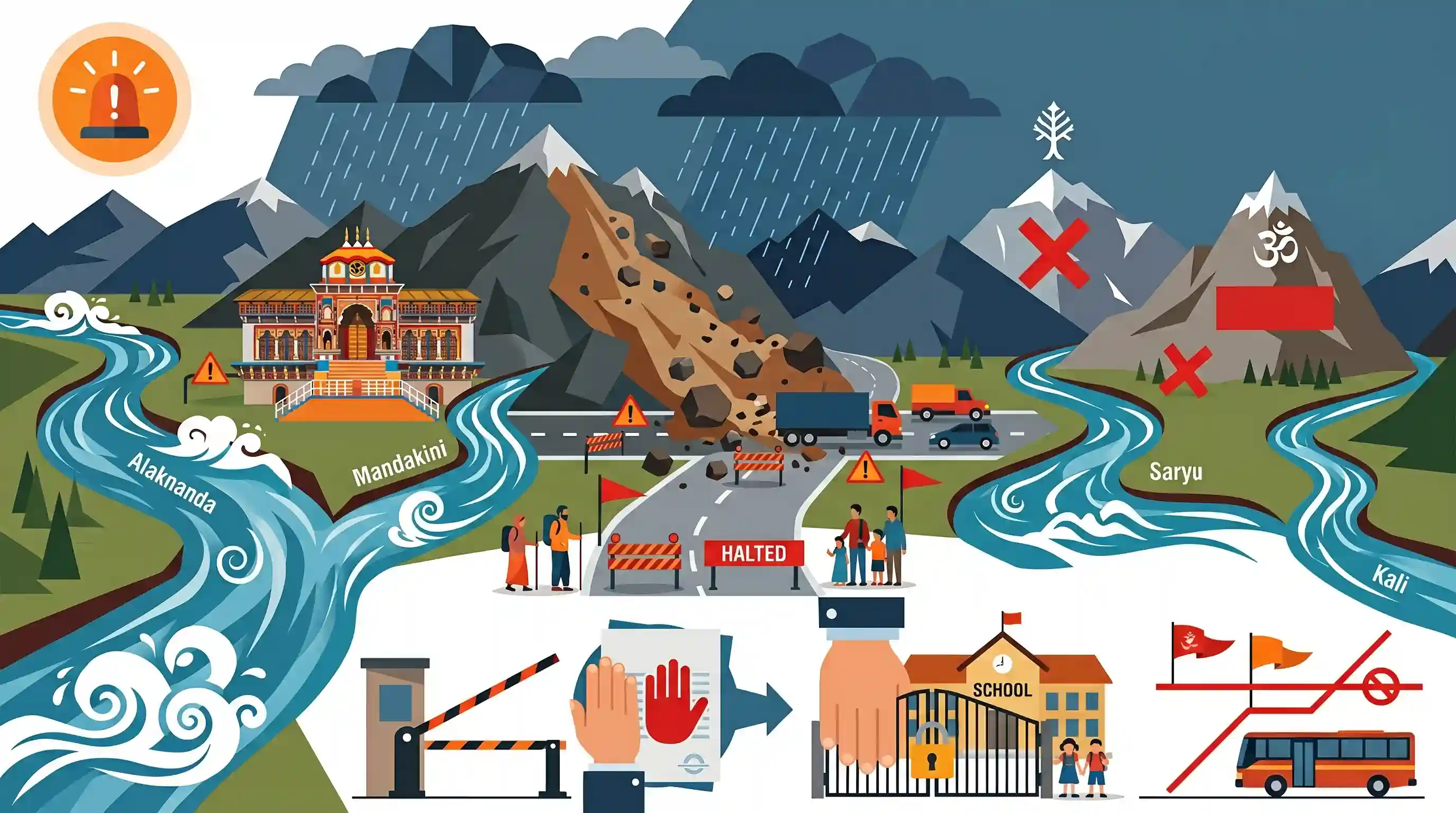
Heavy monsoon rainfall has caused severe disruption in Uttarakhand, leading to landslides that blocked the Badrinath National Highway (NH-58) and swelled major rivers including the Alaknanda and Saryu. Consequently, the local administration in Rudraprayag and Pithoragarh has taken emergency measures, including suspending the Adi Kailash and Om Parvat Yatra, halting the issuance of Inner Line Permits, and closing schools under an orange weather alert.
Key Points
- Continuous heavy rainfall in Uttarakhand has triggered multiple landslides, blocking the crucial Badrinath National Highway (NH-58) at locations like Bhanarpani, Gulabkoti, and Birahi-Nijmula.
- The Alaknanda River in Rudraprayag swelled to 622.90 meters above mean sea level, submerging the Namami Ghat; the Saryu River also witnessed a significant rise in water levels.
- The Pithoragarh district administration suspended the Adi Kailash and Om Parvat Yatra and put a temporary hold on the issuance of Inner Line Permits (ILP) to ensure safety.
- An orange weather alert prompted school closures for Classes 1 to 12 across the affected districts, and residents have been advised to avoid travel near rivers and landslide-prone zones.
Important Terms
Inner Line Permit

An official travel document issued by state governments to regulate and permit the entry of Indian citizens into protected or international border areas for a limited duration.
UPSC context
GS Paper II (Polity & Governance); tests border security, federal relations, and tribal cultural conservation mechanisms.
India Meteorological Department
The principal government agency under the Ministry of Earth Sciences responsible for meteorological observations, weather forecasting, and early warnings for natural disasters.
UPSC context
GS Paper I & III; tests knowledge of monsoon systems, climate patterns, and disaster risk reduction.
Namami Gange
An integrated river-rejuvenation flagship programme launched in 2014 to clean, conserve, and restore the ecological integrity of the Ganga and its tributaries.
UPSC context
GS Paper III (Environment); tests policies on water pollution, river conservation, and basin-level environmental management.
Disaster Management Department
A state-level administrative authority responsible for coordinating disaster planning, risk reduction, response, and executing mitigation strategies under the Disaster Management Act, 2005.
UPSC context
GS Paper III (Disaster Management); tests institutional response, emergency planning, and regional vulnerability mitigation.
Prelims Trap
The Inner Line Permit (ILP) system is exclusively applicable to and administered in the states of Northeast India.
While the statutory BEFR 1873 ILP is synonymous with Northeast India, local administrations in border districts of Uttarakhand (like Pithoragarh) and Himachal Pradesh also issue Inner Line Permits for sensitive border zones.
Static Concepts Connected
What are the five sacred confluences (Panch Prayag) of the Alaknanda river system?
- Vishnuprayag: Alaknanda meets Western Dhauliganga at Vishnuprayag, marking the first major confluence in the descent.
- Nandaprayag: Alaknanda meets the Nandakini River, which flows from the glaciers of Nanda Devi.
- Karnaprayag: Alaknanda joins the Pindar River, which originates from the Pindari Glacier.
- Rudraprayag & Devprayag: Alaknanda joins the Mandakini River (flowing from Kedarnath/Chorabari) at Rudraprayag, before meeting Bhagirathi at Devprayag to form the Ganga.
How do the Eastern and Western Dhauliganga rivers differ?
- Western Dhauliganga: It flows through Chamoli district and serves as a major left-bank tributary of the Alaknanda River, joining it at Vishnuprayag.
- Eastern Dhauliganga: It flows through Pithoragarh district, originating from the Dharma Valley, and joins the Kali (Mahakali) River at Tawaghat.
Cross-Topic Patterns
Himalayan ecology vs Border infrastructure
Mega-highway construction (Char Dham project) in fragile, young fold mountains highlights the conflict between strategic border access, safety of religious tourism, and ecological carrying capacity.
Geopolitics of border pilgrimages
The deployment of ILP security regimes in Uttarakhand's border valleys showcases how regional cultural tourism acts as a tool for asserting territorial sovereignty in disputed frontier zones.

Geography questions in 2026 may test lesser-known Himalayan river divisions (Eastern vs Western Dhauliganga) and local ILP applications.
Linked PYQs · 2
Linked PYQs · 2
- 2007UKPSC_PRELIMSGS1
Name the river which flows between Kedarnath | Rudra Prayag?
- 2016UKPSC_PRELIMSGS1
Eastern Dhauliganga (Poorvi Dhauliganga) is a tributary of
