Statue of Unity Introduces Narmada River Luxury Cruise
Source:dd-india ↗
Why It Matters
Understanding state-specific tourism and infrastructure initiatives is crucial for the GPSC Prelims, specifically regarding regional economic development and geographical landmarks like the Narmada River and the Statue of Unity.
Summary
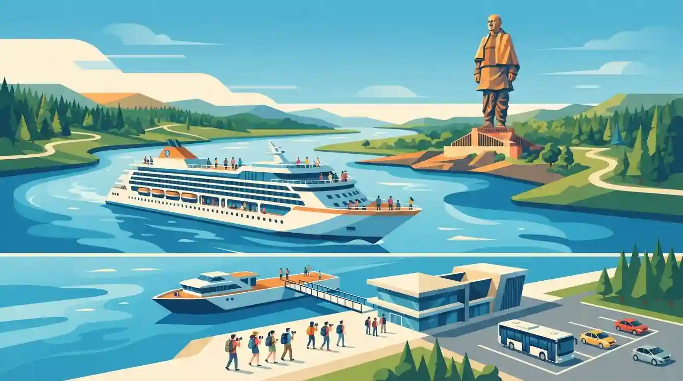
The Gujarat government is set to launch a 600-passenger luxury cruise on the Narmada River at Ekta Nagar near the Statue of Unity. The initiative, overseen by the Statue of Unity Area Development and Tourism Governance Authority (SOUADTGA), aims to significantly boost inland river tourism and provide a unique experience for visitors to the iconic monument.
Key Points
- The Gujarat government is launching a new 600-passenger luxury cruise service on the Narmada River.
- The cruise will operate near the Statue of Unity at Ekta Nagar in the Narmada district.
- The initiative is designed to boost river tourism and enhance the visitor experience in the region.
- The project is facilitated by the Statue of Unity Area Development and Tourism Governance Authority (SOUADTGA).
Important Terms
Statue of Unity Area Development and Tourism Governance Authority (SOUADTGA)

A statutory authority established under a 2019 Gujarat Act to plan, regulate, and execute infrastructure, civic facilities, and tourism development around the Statue of Unity.
UPSC context
GS Paper II: Statutory bodies, regional planning authorities, and governance issues related to tribal rights in Fifth Schedule areas.
Narmada River
The largest west-flowing river in peninsular India, originating at the Amarkantak Plateau, flowing through Madhya Pradesh, Maharashtra, and Gujarat, and draining into the Arabian Sea.
UPSC context
GS Paper I: Indian geography, river drainage systems, west-flowing peninsular rivers, and associated water resource disputes.
Statue of Unity
The world's tallest statue (182 meters), located in Ekta Nagar, Gujarat, honoring Sardar Vallabhbhai Patel for his role in the political integration of India.
UPSC context
GS Paper I & III: Modern Indian history, post-independence integration, monumental architecture, and domestic tourism infrastructure.
Inland Waterways
A network of navigable domestic bodies of water—such as rivers, canals, and lakes—used for cost-effective, fuel-efficient freight, passenger transport, and tourism activities.
UPSC context
GS Paper III: Infrastructure development, multi-modal transport networks, and eco-tourism promotion across major river basins.
Panchayats (Extension to Scheduled Areas) Act, 1996 (PESA)
A central legislation that extends Part IX of the Indian Constitution ( Panchayats) to Fifth Schedule areas, granting self-governance rights and resource control to Gram Sabhas.
UPSC context
GS Paper II: Democratic decentralization, tribal self-rule, and jurisdictional conflicts between state-led urban development and tribal autonomy.
Prelims Trap
"The Narmada river is unsuitable for inland water transport and is completely excluded from the National Waterways network."
Narmada is officially designated as National Waterway 73 (NW-73) under the National Waterways Act, 2016. The new cruise initiatives demonstrate active inland water navigation.
Static Concepts Connected
What are the key geographical characteristics of the Narmada River?
- Origin: It rises from the Amarkantak plateau in Madhya Pradesh and flows westwards.
- Rift Valley: It flows through a linear tectonic rift valley flanked by the Vindhya Range to the north and the Satpura Range to the south.
- Estuary Formation: Being a fast-flowing peninsular river, it does not form a delta but empties into the Arabian Sea via an estuary.
Which states share the benefits of the Sardar Sarovar Dam project?
- Beneficiary States: It is a joint multipurpose project involving four states: Gujarat, Madhya Pradesh, Maharashtra, and Rajasthan.
- Power Allocation: Madhya Pradesh and Maharashtra receive the lion's share of the generated hydroelectric power.
- Irrigation Reach: The dam provides crucial irrigation to drought-prone regions in Gujarat (Saurashtra and Kutch) and Rajasthan.
Cross-Topic Patterns
Cruise Bharat Mission & Waterways
Linking luxury river tourism with National Waterways (like NW-73 on Narmada) reflects a strategic policy shift from purely cargo-based Inland Water Transport to experiential river tourism under the Cruise Bharat Mission.
Historical Legacy & Geography
UPSC frequently links historical personalities with modern geography. The Statue of Unity on Sadhu Bet island acts as a node combining Sardar Patel's integration legacy with tribal area development in Narmada district.

Expect a multi-statement question combining Narmada's rift valley geography, NW-73 status, and Sardar Sarovar Dam beneficiaries in 2026.
Linked PYQs · 2
Linked PYQs · 2
- 2025GPSC_PRELIMSGS1
Which of the following statements are correct regarding the importance of fairs and festivals in the contemporary context of Gujarat? 1. Gujarat's fair and festivals serve as a platform for showcasing traditional crafts, agricultural products and livestock trade, continuing the historical tradition of economic and cultural exchange. 2. Events like Rann Utsav, Tarnetar Fair and Bhavnath Fair bring together diverse religious communities, artisans and craftsmen from across India. 3. The International Kite Festival (Uttarayan) and Modhera Dance Festival highlight Gujarat's ability to blend tradition with modern trends, attracting global tourists and fostering cultural diplomacy. 4. In modern Gujarat, fairs and festivals continue to be a driving force for tourism and local economic growth, preserving cultural heritage while adapting to contemporary trends.
- 2026GPSC_PRELIMSGS1
Consider the following statements regarding India's inland water transport infrastructure: 1. National Waterway 1 (NW-1) is the longest navigable inland waterway in the country, extending from Prayagraj to Haldia along the Ganga-Bhagirathi-Hooghly river system. 2. The Jal Marg Vikas Project (JMVP), implemented with technical and financial assistance from the World Bank, is primarily focused on capacity augmentation of the Brahmaputra River (NW-2). 3. The West Coast Canal (NW-3) maintains a highly consistent navigable draft year-round, facilitated by the natural topography of estuarine backwaters (Koyals) in Kerala. Which of the above statement/s is/are correct?
