Gujarat Partners with Starlink for Satellite Internet Expansion
Source:The Hindu ↗
Why It Matters
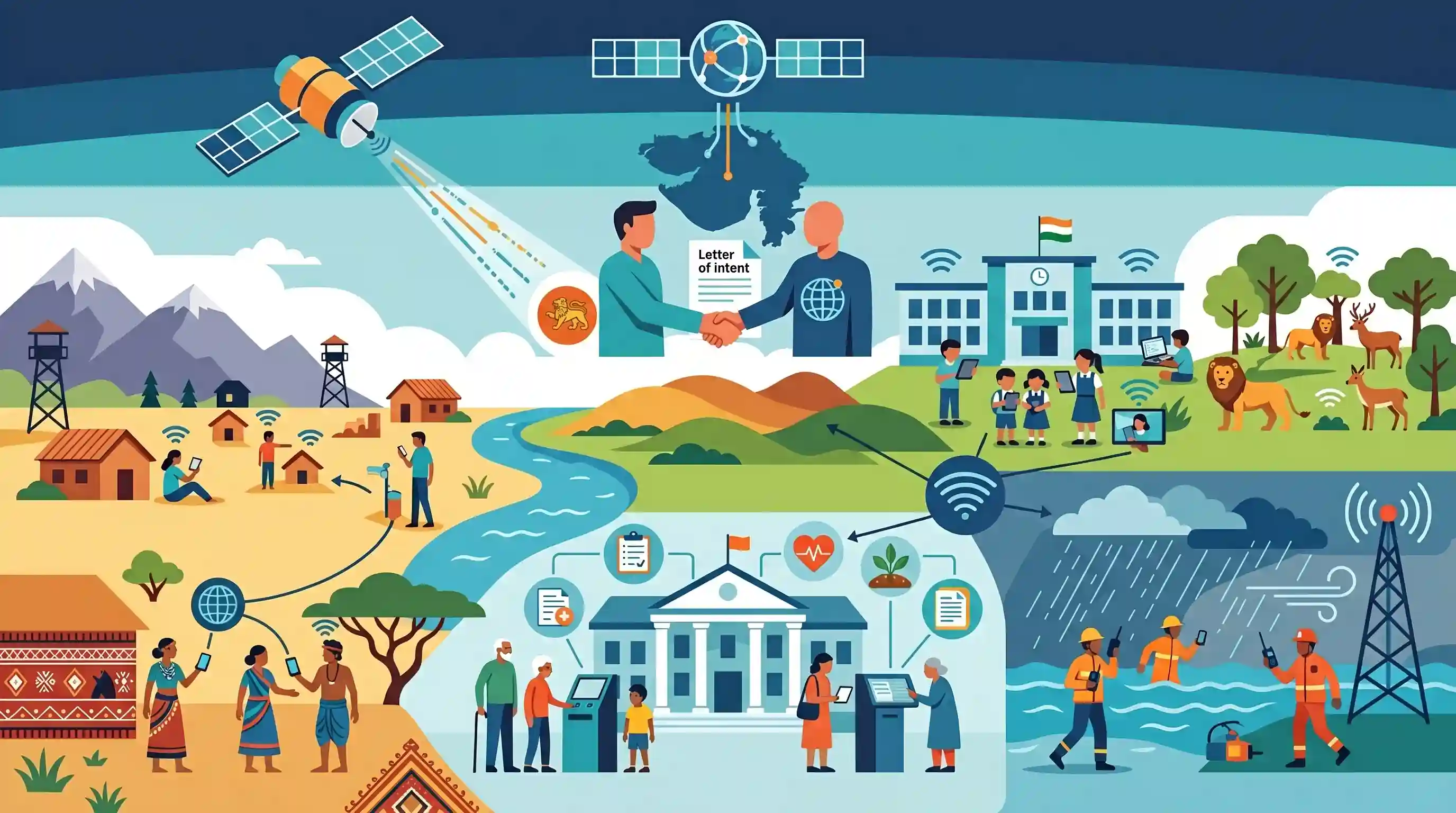
This highlights a critical application of Low Earth Orbit (LEO) satellite internet in public service delivery and governance. It demonstrates how space technology can overcome difficult geographic terrains to bridge the digital divide, thereby fulfilling socio-economic objectives like rural inclusion and resilient disaster communications.
Summary
The Government of Gujarat has exchanged a Letter of Intent with Starlink (Satellite Communications Private Limited) to deploy high-speed, satellite-based internet across the state's remote, border, and tribal regions. Launched under the Digital Connectivity Mission, the initiative targets key developmental zones, including Aspirational Districts like Narmada and Dahod, government schools, and wildlife sanctuaries. By leveraging advanced space technology, the state aims to bridge the digital divide, strengthen e-Governance frameworks, and ensure robust communication for disaster management.
Key Points
- The Gujarat government has exchanged a Letter of Intent (LoI) with Starlink to provide high-speed satellite-based internet connectivity in remote and underserved areas.
- This collaboration falls under the Digital Connectivity Mission to ensure last-mile digital access across the state.
- Targeted regions include border areas, wildlife sanctuaries, remote government schools, and Aspirational Districts such as Narmada and Dahod.
- Satellite internet infrastructure will enhance e-Governance service delivery and bolster communication capabilities for disaster management and port operations.
Important Terms
Aspirational Districts Programme (ADP)

NITI Aayog's flagship initiative launched in 2018 to transform 112 under-developed districts by improving socio-economic indicators through convergence, collaboration, and competition.
UPSC context
GS Paper II (Governance) and III (Development); tests knowledge of decentralized planning and outcome-based monitoring.
Starlink
A satellite internet constellation operated by SpaceX providing global broadband coverage via thousands of satellites in Low Earth Orbit (LEO) to deliver high-speed, low-latency connectivity.
UPSC context
GS Paper III (Science & Technology); relevant for space technology, satellite communication, and connectivity infrastructure.
Low Earth Orbit (LEO)
An orbit with an altitude between 160 km and 2,000 km. It is preferred for satellite internet constellations due to its proximity to Earth, which significantly reduces signal latency.
UPSC context
GS Paper III (Science & Tech); essential for understanding differences between satellite types (GEO vs LEO) and their applications.
Digital Connectivity Mission
A strategic initiative by the Gujarat government to bridge the digital divide by deploying high-speed connectivity in remote, tribal, and border regions to strengthen e-Governance and public service delivery.
UPSC context
GS Paper II (Governance) and State PSCs; tests regional initiatives for digital inclusion and last-mile connectivity.
e-Governance
The application of Information and Communication Technology (ICT) to deliver government services, enhance transparency, and facilitate communication between the state and its citizens or businesses.
UPSC context
GS Paper II (Governance); a core pillar of the syllabus focusing on administrative reforms and digital service delivery.
Telecommunications Act, 2023
A landmark Indian legislation that replaced colonial-era laws and legalized the administrative (non-auction) allocation of spectrum for satellite-based communication services (Satcom).
UPSC context
GS Paper III (Economy/Infrastructure); critical for understanding the regulatory framework of India's digital economy and spectrum management.
Prelims Trap
Low Earth Orbit (LEO) satellites provide wider single-satellite geographical coverage than Geostationary (GEO) satellites.
False. GEO satellites orbit much higher (~36,000 km) and cover roughly one-third of the Earth each. LEO satellites orbit lower, requiring massive constellations for continuous coverage.
Static Concepts Connected
How do Low Earth Orbit (LEO) satellites differ from Geostationary (GEO) satellites?
- Orbit altitude: LEO satellites are placed at 500-2,000 km above Earth, whereas GEO satellites are positioned at approximately 35,786 km above the equator.
- Latency & Speed: LEO offers significantly lower latency (signal delay) compared to GEO, making it much more suitable for high-speed, real-time internet services.
- Coverage & Constellations: A single GEO satellite covers a vast area; LEO requires a constellation of hundreds or thousands of satellites to provide continuous global coverage.
What are the core principles of the Aspirational Districts Programme (ADP)?
- Nodal agency: Anchored by NITI Aayog at the central level, the program targets the rapid socio-economic transformation of 112 underdeveloped districts across India.
- Three Cs approach: Driven by Convergence (of Central & State schemes), Collaboration (between officers and Prabhari officers), and Competition among districts.
- Delta Ranking: Progress is measured via real-time delta rankings across 5 themes: Health & Nutrition, Education, Agriculture & Water, Financial Inclusion, and Skill Development.
Cross-Topic Patterns
Satellite Comms & Border Security
Satellite internet bypasses traditional terrestrial monitoring nodes. In border areas, this presents a dual-use dilemma: boosting troop and village connectivity while risking unmonitored communication networks utilized by insurgents.
Disaster-resilient Digital Infrastructure
Terrestrial communication networks often collapse during extreme weather events. Integrating LEO satellite internet into State Disaster Management Authority (SDMA) frameworks ensures uninterrupted relief coordination and e-Governance delivery.

Expect a 2026 prelims question contrasting LEO vs GEO internet mechanics, paired with telecom regulatory challenges and security risks.
Linked PYQs · 4
Linked PYQs · 4
- 2021MainsGS2
Has digital illiteracy, particularly in rural areas, coupled with lack of Information and Communication Technology (ICT) accessibility hindered socio-economic development? Examine with justification.
- 2016MainsGS3
Discuss India's achievements in the field of Space Science and Technology. How the application of this technology has helped India in its socio-economic development?
- 2024MainsGS2
e-governance is not just about the routine application of digital technology in service delivery process. It is as much about multifarious interactions for ensuring transparency and accountability. In this context evaluate the role of the 'Interactive Service Model' of e-governance.
- 2022PrelimsGS1
Consider the following communication technologies: 1. Closed-circuit Television 2. Radio Frequency Identification 3. Wireless Local Area Network Which of the above are considered Short-Range devices/technologies?
