Godavari river floods inundate homes in Andhra Pradesh
Source:The Hindu ↗
Why It Matters
The event provides a practical case study of riverine flooding and disaster response in vulnerable delta regions, directly relevant to GS1 (Geography - River systems) and GS3 (Disaster Management). It underscores the geographical layout of the Godavari basin, its tributaries, and associated barrage infrastructure.
Summary
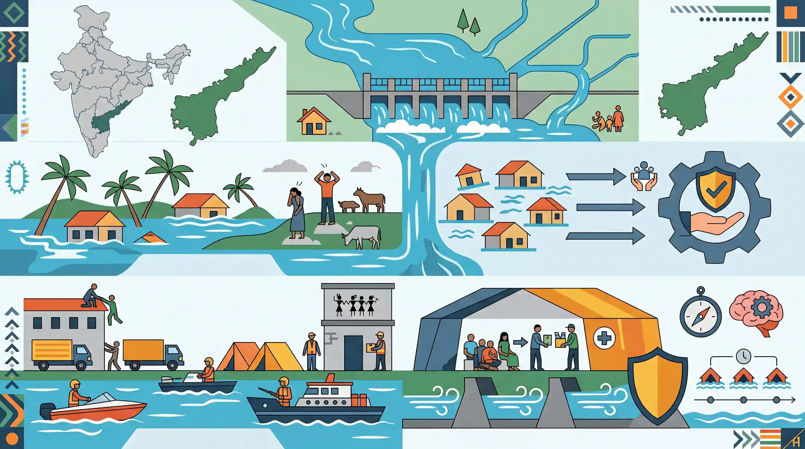
Severe flooding in the Godavari River basin has inundated hundreds of homes and affected thousands of people in Andhra Pradesh's Konaseema and Alluri Sitharama Raju districts. The surge, caused by heavy inflows at the Sir Arthur Cotton barrage, has particularly impacted habitations along the Godavari, its Vasista branch, and the Sabari tributary. District authorities and the Integrated Tribal Development Agency are actively engaged in rescue and relief operations, evacuating vulnerable populations to relief camps. The event highlights the recurring challenge of riverine flooding in India's deltaic and tribal belts, emphasizing the need for robust disaster preparedness and management frameworks.
Key Points
- Godavari river floodwaters have inundated 928 homes and affected over 3,300 people in the Konaseema and Alluri Sitharama Raju districts of Andhra Pradesh.
- The flooding is driven by massive discharges downstream of the Sir Arthur Cotton barrage at Dowleswaram, triggering second-level warnings.
- Villages along the Godavari, its branch Vasista, and tributary Sabari are severely impacted, with crops and connectivity disrupted.
- Local administration and the Integrated Tribal Development Agency (ITDA) are carrying out relief operations and relocating affected populations to safe camps.
Important Terms
Sir Arthur Cotton barrage

A major irrigation and flood-control structure on the Godavari River at Dowleswaram. Originally built in 1852, it serves as the headwork for the fertile Godavari Delta irrigation system.
UPSC context
GS I (Geography) & GS III (Disaster Management); tests knowledge of critical river infrastructure and flood regulation.
Integrated Tribal Development Agency (ITDA)
Specialized administrative units in Scheduled Areas designed to provide single-line administration for tribal welfare, social justice, and localized disaster response for indigenous communities.
UPSC context
GS II (Social Justice/Governance); tests understanding of tribal administration and government mechanisms for vulnerable populations.
Godavari River basin
The drainage area of India's second-longest river, the Godavari. It covers approximately 10% of India's geographical area and is prone to seasonal flooding in its lower reaches.
UPSC context
GS I (Geography); essential for understanding peninsular drainage systems, water resource management, and regional physiography.
Riverine flooding
Also known as fluvial flooding, it occurs when a river's water level exceeds its banks due to heavy rainfall, inundating surrounding low-lying floodplains.
UPSC context
GS III (Disaster Management); critical for identifying flood hazards, disaster preparedness, and mitigation strategies in river-adjacent zones.
Deltaic region
A low-lying landform at a river's mouth created by sediment deposition. It is characterized by fertile alluvial soil and multiple distributary channels.
UPSC context
GS I (Geography); important for studying depositional landforms, coastal ecology, and vulnerability to sea-level rise and flooding.
Prelims Trap
Vasista and Gautami are important right-bank tributaries of the Godavari River.
Vasista and Gautami are distributaries branching off the main river near Rajahmundry to form the Godavari Delta, not tributaries feeding into it.
Static Concepts Connected
What is the tributary and distributary system of the Godavari River?
- Left-bank tributaries: Major left-bank tributaries include the Penganga, Wardha, Wainganga (forming Pranahita), Indravati, and Sabari rivers.
- Right-bank tributaries: Major right-bank tributaries include the Pravara, Manjira, and Maner rivers.
- Delta distributaries: Below Rajahmundry, the river splits into distributaries like Gautami, Vasista, and Vainateya, forming the fertile Konaseema delta.
What is the Integrated Tribal Development Agency (ITDA)?
- Institutional structure: It is a nodal agency operating at the district or block level to implement the Tribal Sub-Plan (TSP) in Scheduled Areas.
- Core mandate: Its primary focus is the socio-economic development of tribal populations, preventing exploitation, and providing localized governance and relief support.
Cross-Topic Patterns
Delta flooding + Coastal vulnerability
Flood management in the Godavari delta (Konaseema) intersects with climate change, where heavy upstream barrage releases meet rising sea levels, creating acute compound flooding risks.
5th Schedule + Disaster Administration
The ITDA's active role in flood evacuation highlights how tribal welfare institutions double up as critical grassroots disaster management nodes in 5th Schedule areas.

Expect a Prelims pairs-matching question on Peninsular river distributaries (Vasista/Gautami) versus tributaries (Sabari/Manjira).
Linked PYQs · 3
Linked PYQs · 3
- 2015PrelimsGS1
Consider the following rivers: 1. Vamsadhara 2. Indravati 3. Pranahita 4. Pennar Which of the above are tributaries of Godavari?
- 2017MainsGS1
In what way can floods be converted into a sustainable source of irrigation and all-weather inland navigation in India?
- 2024MainsGS3
Flooding in urban areas is an emerging climate-induced disaster. Discuss the causes of this disaster. Mention the features of two such major floods in the last two decades in India. Describe the policies and frameworks in India that aim at tackling such floods.
