Ganga River Water Level Rise and Flood Precautions in Patna
Source:patnapress ↗
Why It Matters
Recurrent flooding and shifting water levels in the Ganga are critical aspects of Bihar's physical geography and administrative challenges. Questions on Bihar's drainage system and flood management routinely feature in BPSC Prelims, making real-time geographical shifts highly relevant.
Summary
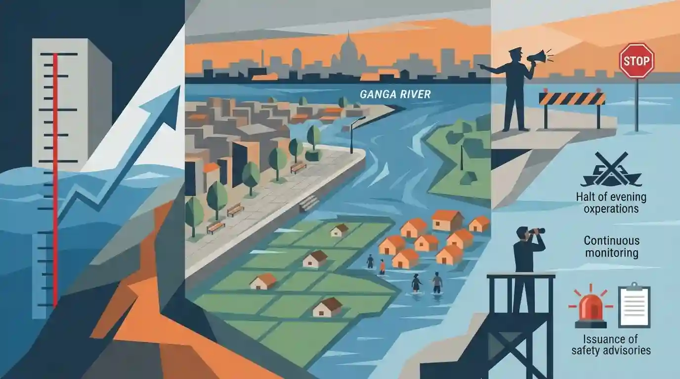
Ganga river water levels in Patna have seen a sharp increase, nearing the danger mark and causing inundation across several key areas including the riverfront promenade, Diara region, and Bind Toli. The rapid rise has prompted the district administration to issue stringent safety advisories, halt evening boat operations, and continuously monitor flood-prone belts.
Key Points
- The Ganga river water level in Patna rose by 42 cm at Digha Ghat and 33 cm at Gandhi Ghat in 24 hours, approaching the danger mark.
- Rising waters have inundated the riverfront promenade between the Collectorate and Patna City, as well as low-lying parts of the Diara region.
- The Bind Toli area is completely surrounded by floodwater, with access routes like the road from Kurji Mor blocked.
- The Patna district administration has imposed safety measures, halting boat operations post-sunset and deploying Circle Officers for continuous monitoring.
Important Terms
Diara Region

A fertile but flood-prone floodplain region in Bihar, formed by recent alluvial deposits. While it faces annual inundation from river meandering, its moisture-rich soil heavily supports post-monsoon Rabi agriculture.
UPSC context
Highly relevant for BPSC Geography (Paper 2) regarding Bihar's unique physiographic divisions, soil types, and agricultural patterns.
Bind Toli
A low-lying riverside settlement in Patna, primarily inhabited by fishermen. Highly vulnerable to the Ganga's annual swelling, it frequently faces submergence, resulting in seasonal displacement of its residents.
UPSC context
Important for BPSC Disaster Management as a practical case study on urban flooding vulnerability and the challenges of resettlement.
Danger Mark
A critical river water level threshold (e.g., 48.60m at Gandhi Ghat) tracked by the Central Water Commission. Exceeding it triggers flood alerts and emergency response protocols in neighboring areas.
UPSC context
Crucial for BPSC Disaster Management to understand the state's flood administration and early-warning metrics.
Patna District Administration
The local executive body headed by the District Magistrate. During floods, it enforces safety guidelines, manages boat operations, establishes relief camps, and oversees standard operating procedures for disaster mitigation.
UPSC context
Relevant for BPSC Polity and Public Administration (Paper 2), testing knowledge of district-level disaster management machinery.
Gandhi Ghat & Digha Ghat
Prominent riverfront locations along the Ganga in Patna that serve as major water-level monitoring stations. Their gauge readings are strictly tracked to evaluate the city's immediate flood risk.
UPSC context
Useful for Bihar Geography and BPSC Prelims factual questions concerning Patna's local hydrology and topography.
Prelims Trap
"The Ganga flows for the maximum distance in Bhagalpur district before exiting Bihar."
Patna actually encompasses the longest stretch of the Ganga river in Bihar (~99 km), not Bhagalpur (~90 km). This is a classic BPSC factual trap.
Static Concepts Connected
What characterizes the 'Diara' landforms found along the Ganga in Bihar?
- Geological Formation: Formed by the continuous deposition of silt and sand in the floodplains due to meandering and shifting river channels.
- Agricultural Utility: Extremely fertile for Rabi crops (like maize and mustard) post-monsoon when the floodwaters finally recede.
- Disaster Vulnerability: Highly susceptible to annual inundation and severe riverbank erosion during the active monsoon season.
Where does the Ganga enter Bihar, and what major tributaries join it near Patna?
- Entry Point: The Ganga enters Bihar at Chausa in the Buxar district and flows west to east.
- Patna Tributaries: The Sone river meets the Ganga near Danapur (Patna), and the Punpun joins it further downstream at Fatuha.
Cross-Topic Patterns
Urban flooding & floodplain encroachment
The inundation of Bind Toli highlights the disaster management challenge of unregulated settlements and infrastructure encroachment into the Ganga's active floodplain and Diara margins in urban Patna.
Siltation and shifting river morphology
Rising water levels despite localized rainfall variations point to heavy upstream flow and massive siltation of the Ganga riverbed, a recurring disaster theme often linked to the Farakka Barrage debate.

BPSC often tests the exact length of Ganga in specific districts (Patna/Bhagalpur) or the formation of Diara lands in Geography MCQs.
Linked PYQs · 3
Linked PYQs · 3
- 2024-IBPSC_PRELIMSGS1
Which river is known as the ‘Sorrow of Bihar’?
- 2024-EBPSC_PRELIMSGS1
Which of the following drainage systems drains the lands of Bihar?
- 2019BPSC_PRELIMSGS1
The district of Bihar which has a longer length of Ganga river is
