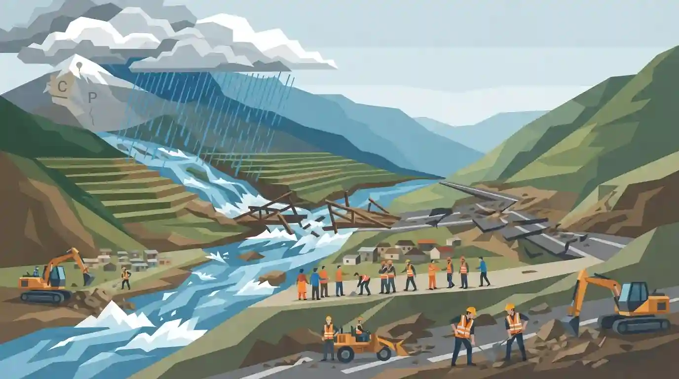
Cloudburst triggers flash floods and cuts road links in Pangi valley
Source:babushahi ↗
Why It Matters
Highlights the increasing frequency and vulnerability of Himachal Pradesh's fragile Himalayan ecosystem to extreme weather events like cloudbursts and flash floods, which is crucial for GS1 (Geography) and Disaster Management preparedness.
Summary
A cloudburst in the remote Pangi valley of Himachal Pradesh's Chamba district triggered flash floods, causing the Uddin and Hillu streams to overflow. The sudden deluge damaged infrastructure, swept away a temporary bridge over the Hillu stream, and severed road connectivity in the region. Workers from a private company stranded in Uddin village were successfully rescued by local Prajamandal members. Local authorities, including the Public Works Department, have initiated relief and restoration efforts to reopen the blocked roads.
Key Points
- A severe cloudburst triggered massive flash floods in the remote Pangi valley of Himachal Pradesh's Chamba district.
- The sudden surge of water caused the Uddin and Hillu streams to overflow, causing significant damage to infrastructure and isolating communities.
- Local Prajamandal members successfully rescued workers of the VB-G RAM G company who were stranded near a project site in Uddin village.
- The flash floods swept away a temporary bridge constructed over the Hillu stream, completely cutting off the road link to the affected areas.
- The Public Works Department (PWD) has deployed machinery to restore the damaged roads and reconnect the cut-off villages.
Important Terms
Prajamandal

Historically, a grassroots democratic movement in princely states against autocratic rule. Today, the term is also used for local community or citizens' groups that participate in civic duties, such as emergency rescue operations during disasters.
UPSC context
Important for Modern History (princely states' freedom struggle) and GS-2/3 (civil society's role in local disaster management and governance).
Public Works Department (PWD)
A state or central government agency responsible for building and maintaining public infrastructure like roads, bridges, and buildings. PWD plays a frontline role in clearing debris and restoring connectivity after natural disasters.
UPSC context
Relevant to GS-2 (Governance) and GS-3 (Disaster Management) regarding institutional frameworks for infrastructure resilience and post-disaster recovery operations.
Pangi Valley
A remote, high-altitude region in Himachal Pradesh's Chamba district, surrounded by the Pir Panjal and Zanskar ranges. Traversed by the Chenab River, its rugged topography makes it highly vulnerable to extreme weather events.
UPSC context
Highly relevant for GS-1 (Geography) mapping and physical geography, testing knowledge of Himalayan valleys, river systems, and vulnerable terrains.
Cloudburst
A highly localized, extreme precipitation event, technically defined as rainfall exceeding 100 mm per hour over a small geographical area, capable of triggering devastating flash floods and landslides in hilly terrains.
UPSC context
Core GS-1 (Geography) and GS-3 (Disaster Management) topic. Tests understanding of changing climate patterns, extreme weather phenomena, and mountainous vulnerabilities.
Flash Floods
A rapid, severe surge of floodwater in rivers or low-lying areas occurring within hours of extreme rainfall or cloudbursts, leading to sudden infrastructure damage and requiring immediate localized emergency response.
UPSC context
Key GS-3 (Disaster Management) topic. Evaluates understanding of hydro-meteorological hazards, early warning systems, and rapid post-disaster mitigation strategies.
Prelims Trap
"A cloudburst is classified by IMD as rainfall exceeding 100 mm per day across a district."
IMD strictly defines a cloudburst as >100 mm per hour over a highly localized area (20-30 sq km), not a daily district-wide average.
Static Concepts Connected
What are the key geographical features of the Pangi Valley?
- Location: It is squeezed between the Zanskar Range in the north and the Pir Panjal Range in the south within Himachal's Chamba district.
- Drainage: The valley is entirely drained by the Chandrabhaga (Chenab) river, which carves a deep narrow gorge through the region before entering Jammu & Kashmir.
- Climate: It falls under the "Dry Temperate Zone" (rain shadow area), where high mountain peaks block heavy monsoon winds, making precipitation mostly snow.
What meteorological conditions lead to a Himalayan cloudburst?
- Orographic Lift: Warm, moisture-laden monsoon winds are forced rapidly upwards by steep mountain slopes.
- Convective Updrafts: Strong vertical air currents temporarily suspend raindrops, causing massive water accumulation inside cumulonimbus clouds.
- Sudden Downpour: When updrafts finally weaken, the massive volume of accumulated water is released suddenly over a small geographical area.
Cross-Topic Patterns
Cloudbursts & run-of-river dam risks
Rising extreme rainfall in Himalayan rain-shadow areas directly threatens the safety and sediment-load management of run-of-river (RoR) hydroelectric projects in the Chenab basin.
Prajamandals in Princely States
Modern rescue by local "Prajamandals" parallels the historical Praja Mandal movements (e.g., AISPC) that fought for democratic rights against feudal rulers in the Himalayan hill states.

Expect a multi-statement geography question mapping Himalayan valleys (like Pangi) to their bordering mountain ranges and river basins.
Linked PYQs · 3
Linked PYQs · 3
- 2024HPAS_PRELIMSGS1
Arrange the following climatic zones of Himachal Pradesh according to rainfall amount from lowest to highest : (1) Frigid aridic zone (2) Wet temperate zone (3) Humid sub-tropical zone (4) Sub-humid sub-tropical zone Choose the correct answer from the options given below :
- 2024HPAS_PRELIMSGS1
Arrange the following states of India from highest to lowest flood prone area : (1) Bihar (2) Punjab (3) Rajasthan (4) Uttar Pradesh Choose the correct answer from the options given below :
- 2022HPAS_PRELIMSGS1
Which of the following statements is correct ? (i) 'Dhauladhar Range' branches off from the Great Himalayan Range near Badrinath (ii) The Pir-Panjal range separates the drainage of the river Spiti from that of the river Beas. (iii) The Zanskar range is the easternmost range which separates Spiti and Kashmir from Tibet. (iv) The 'Gumrang' and 'Sholarang' passes connect the basin of the river Chandrabhaga with its basin in Tibet.
