Flood threat looms across Uttar Pradesh despite monsoon deficit
Source:uniindia ↗
Why It Matters
This topic is crucial for UPPSC PCS GS Paper 1 (Geography) as it links the conceptual physical geography of the Indian Monsoon (the shifting of the monsoon trough and 'monsoon breaks') with regional hydrology (floods in major UP rivers like Ganga, Yamuna, Saryu, and Ghaghra) and state-specific disaster vulnerability.
Summary
The article details how a shift of the Indian monsoon trough to the Himalayan foothills has caused dry, humid conditions in the plains of Uttar Pradesh while unleashing heavy rains in the mountains. This has triggered flood threats and river overflows (Ganga, Yamuna, Saryu, Ghaghra, Malan) across several UP districts, even as the state records a 19% rainfall deficit from its seasonal average.
Key Points
- Although the summer monsoon has weakened over the plains of Uttar Pradesh, heavy precipitation in the Himalayan mountain regions has led to a flood threat in low-lying areas of the state.
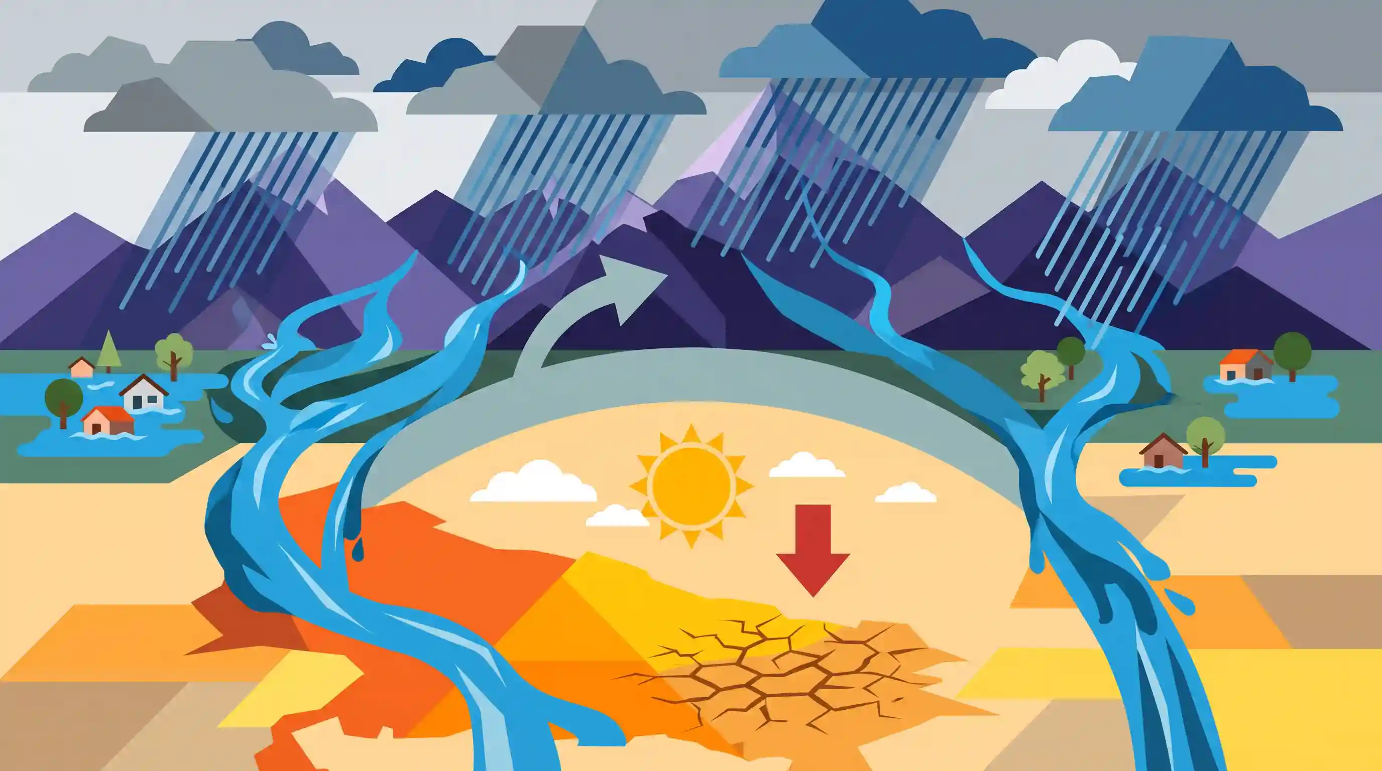
- The meteorological cause of this pattern is the northward shift of the monsoon trough toward the Himalayan foothills, combined with dry winds originating from Pakistan that have halted rainfall in western UP.
- This shift leads to a classic 'break in monsoon' scenario over the Indo-Gangetic plains, where the plains remain dry and humid while the mountainous catchments receive intense rainfall, causing the trans-boundary rivers to swell.
- Major rivers are experiencing spates and bank erosion: the Ganga and Yamuna are overflowing in Prayagraj, the Yamuna is in spate in Baghpat, the Malan River is overflowing in Bijnor, and the Saryu and Ghaghra rivers are causing severe erosion in Ballia (Bansdih).
- From June 1 to July 12, Uttar Pradesh recorded 161.6 mm of rainfall, which is 19% less than the seasonal average, highlighting the deficit in direct plains precipitation despite the flood conditions.
- Rainfall is expected to remain subdued in the plains until a new cyclonic system activates over the Bay of Bengal to pull the monsoon trough back southward.
Important Terms
India Meteorological Department

India's principal government agency under the Ministry of Earth Sciences responsible for meteorological observations, weather forecasting, seismology, and issuing warnings for tropical cyclones and hazardous weather events.
UPSC context
GS Paper I (Geography) & GS III (Disaster Management); tests knowledge of climate agencies and disaster warning systems.
Monsoon Trough
An elongated low-pressure area (part of the Intertropical Convergence Zone) extending across the Indo-Gangetic Plains, whose movement and axis determine the spatial distribution and intensity of monsoonal rainfall.
UPSC context
GS Paper I (Climatology); tests understanding of the Indian monsoon mechanism, seasonal wind reversal, and pressure patterns.
Break in Monsoon
A prolonged dry spell during the Southwest Monsoon when rains significantly decrease or cease over the plains, typically caused by the shifting of the monsoon trough northward to the Himalayan foothills.
UPSC context
GS Paper I (Geography); tests concepts of monsoon variability, rainfall distribution, and agricultural vulnerability.
Himalayan Rivers
Perennial rivers originating from the Himalayan ranges, fed by both melting glaciers and monsoon rains, characterized by deep gorges, high sediment loads, and heavy, flood-prone discharges during the monsoon.
UPSC context
GS Paper I (Indian Geography - Drainage Systems); tests physical drainage characteristics and susceptibility to seasonal flooding.
Saryu River
A key Himalayan river arising in Uttarakhand that merges into the Sharda (Kali) River; its lower course, specifically the Ghaghara River as it passes Ayodhya, is historically and culturally revered as the Sarayu.
UPSC context
GS Paper I (Geography); tests physical geography of major rivers, drainage networks, and ecological preservation.
Prelims Trap
A 'break in monsoon' causes dry conditions and a complete cessation of rainfall across the entire Indian subcontinent.
During a break, rainfall ceases over the plains, but intensifies drastically over the Himalayan foothills, causing severe downstream floods.
Static Concepts Connected
What are the meteorological drivers and impacts of a 'break in monsoon'?
- Trough movement: The monsoon trough shifts northwards close to the Himalayan foothills, away from its normal position over the plains.
- Spatial rainfall variation: Rainfall ceases abruptly over the Indo-Gangetic plains while heavy precipitation is concentrated over the Himalayan catchments.
- Revival mechanism: The monsoon resumes when a low-pressure system or cyclonic disturbance forms in the Bay of Bengal, pulling the trough southward.
How does the Gomti River differ from other major Gangetic tributaries?
- Groundwater origin: Unlike glacier-fed Himalayan rivers, it is an alluvial, groundwater-fed river originating from Gomat Taal (Fulhar Lake) in Pilibhit.
- Ecological crisis: Heavy municipal sewage and industrial runoff have severely depleted its dissolved oxygen, leading to its designation as a biological disaster.
Cross-Topic Patterns
Break-monsoon paradox and trans-boundary floods
Local rain deficits mask severe flood vulnerability. Early warning systems must monitor catchment precipitation across borders rather than relying on localized state rainfall.
Agro-climatic distress during monsoonal breaks
UP's nine agro-climatic zones experience uneven impacts; dry western plains face drought while eastern zones handle Himalayan-catchment runoff, disrupting uniform crop insurance models.

Prelims 2026 may test the structural mechanics of 'Monsoon Breaks', contrastingly pairing plains-dryness with Himalayan catchment floods.
Linked PYQs · 3
Linked PYQs · 3
- 2023UPPSC_PRELIMSGS1
Which of the following statement is correct? (1) Ram Ganga river joins the Ganga at Kannauj. (2) River Betwa joins the Yamuna near Prayagraj. Select the correct answer using the code given below –
- 2025UPPSC_PRELIMSGS1
Given below are two statements, one is labelled as Assertion (A) and the other as Reason (R). Assertion (A) : The Himalayas form source of several large perennial rivers. Reason (R) : The higher ranges of Himalayas are snow covered throughout the year. Select the correct answer from the code given below :
- 2018UPPSC_PRELIMSGS1
Which of the following rivers of Uttar Pradesh has been declared a 'Biological Disaster' due to environmental pollution?
