Uttar Pradesh issues flood alert as Ganga and Yamuna swell
Source:timesofindia-indiatimes ↗
Why It Matters
Important for UPPSC aspirants tracking geography, drainage systems, and disaster management related to major rivers like Ganga and Yamuna in Uttar Pradesh.
Summary
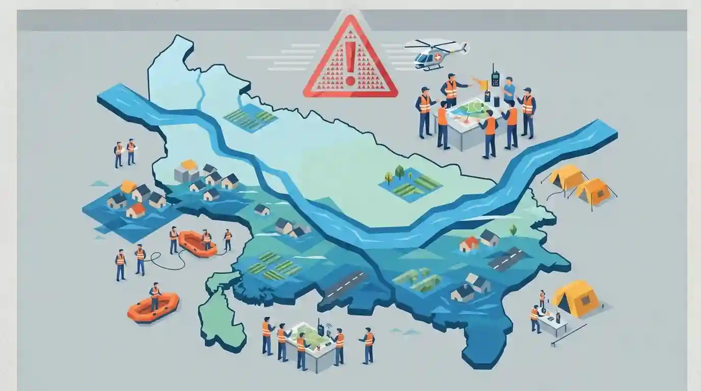
A flood alert has been declared in Uttar Pradesh due to the continuous rise in water levels of major rivers like the Ganga and Yamuna, prompting authorities to monitor flood-prone areas and prepare for disaster response.
Key Points
- A flood alert has been issued across Uttar Pradesh as major rivers, including the Ganga and Yamuna, continue to swell.
- Rising water levels pose risks to low-lying areas and riparian zones across several districts in the state.
- State disaster management and local administrative bodies are on high alert to monitor water discharge and evacuate vulnerable populations if needed.
Important Terms
Ganga and Yamuna rivers

India's longest river system and its major peninsular tributary, flowing through Uttar Pradesh and converging at Prayagraj (Sangam), frequently causing monsoon floods during heavy rainfall.
UPSC context
Relevant for UPPSC GS Paper I (Geography of Uttar Pradesh - River systems) and GS Paper III (Disaster Management and Floods).
Prelims Trap
All major rivers flowing through Uttar Pradesh maintain uniform perennial discharge throughout the year.
Aspirants often assume all rivers in UP are perennial; however, many southern plateau-fed rivers (like Betwa, Ken, Son) experience extreme seasonal fluctuations compared to snow-fed Himalayan rivers.
Static Concepts Connected
What are the principal geographical zones and flood-prone statistics of Uttar Pradesh?
- Vulnerability area: Flood Prone Area: Approximately 73.06 lakh hectares of UP's land is officially classified as flood-prone due to low gradient and high monsoonal runoff.
- River systems: Major Drainage: Ganga, Yamuna, Ghaghra, Sharda, Gandak, and Rapti form the core river network creating seasonal inundation risks in eastern and central UP districts.
- Basin slope: Topography: The state slopes gently from northwest to southeast, causing river spillages when heavy rainfall coincides in upper catchments.
Cross-Topic Patterns
UP River Geography + Disaster Management Funds
UPPSC frequently links river flood geography in eastern UP (Ganga-Ghaghra interfluve) with district-level disaster management allocations under SDRF.
Urban Drainage Failures + Monsoonal Peaks
Riparian urban centers like Prayagraj and Varanasi face recurrent inundation, testing municipal resilience and master plan drainage efficiency.

UP flood vulnerability statistics (~73 lakh hectares) combined with major river basin geography is a prime candidate for a matching or assertion question.
Linked PYQs · 2
Linked PYQs · 2
- 2018UPPSC_PRELIMSGS1
Which of the following rivers of Uttar Pradesh has been declared a 'Biological Disaster' due to environmental pollution?
- 2023UPPSC_PRELIMSGS1
Which of the following statement is correct? (1) Ram Ganga river joins the Ganga at Kannauj. (2) River Betwa joins the Yamuna near Prayagraj. Select the correct answer using the code given below –
