Moderate earthquake jolts Northeast and West Bengal regions
Source:The Hindu ↗
Why It Matters
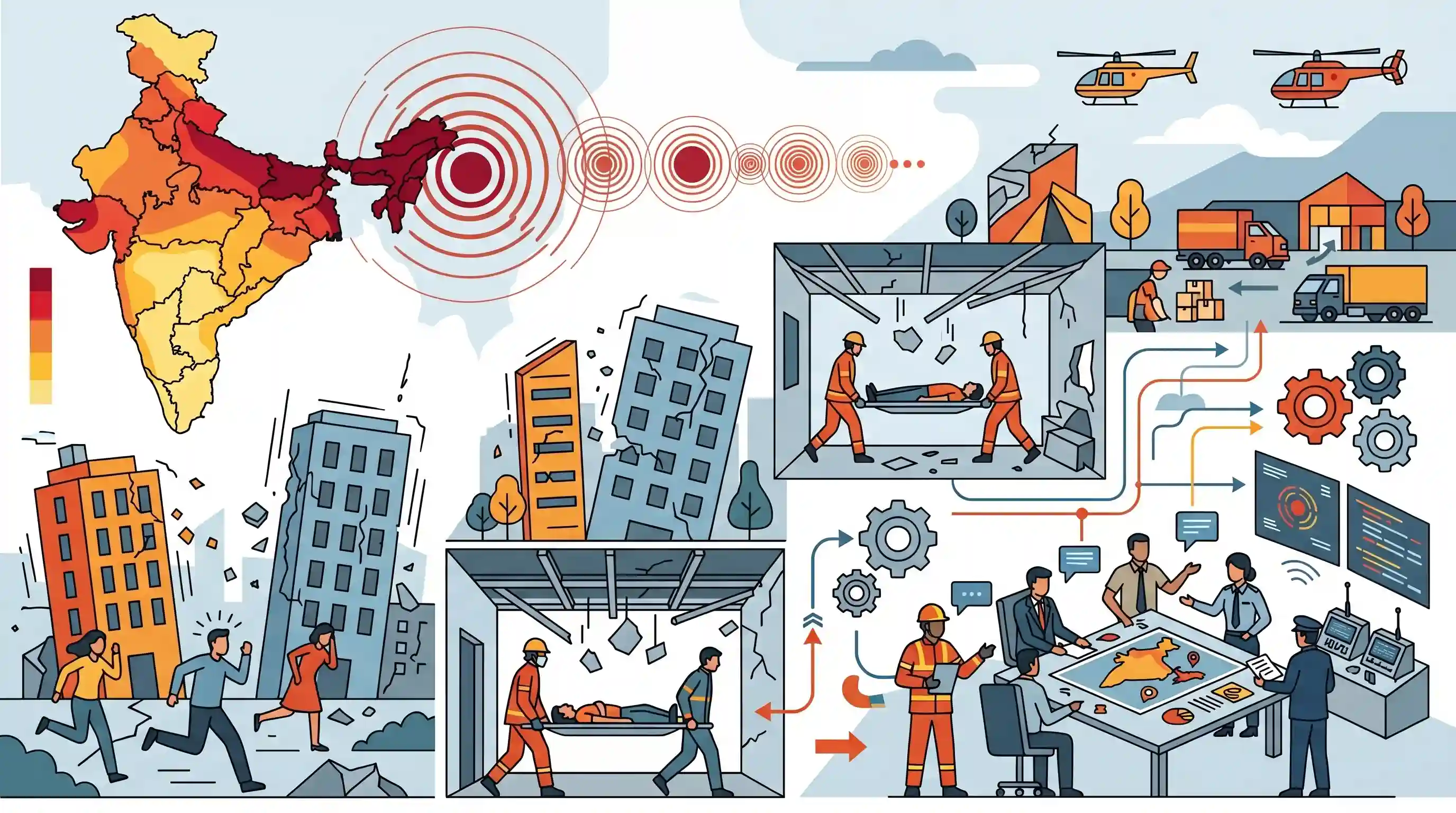
Northeast India is situated in Seismic Zone V, the most active tectonic region in the country. Frequent earthquakes highlight the recurring risk to infrastructure and the persistent need for robust disaster preparedness, resilient structural engineering, and rapid response systems—a frequent focal point in UPSC Mains disaster management questions.
Summary
A moderate earthquake of magnitude 5.8, followed by multiple aftershocks, struck Northeast India and West Bengal, with its epicentre near the Assam-Bhutan border in Udalguri and Sonitpur districts. The tremors caused panic, structural damage to several homes, and injured at least two individuals when a building's ceiling collapsed. State and national authorities, including the Assam State Disaster Management Authority (ASDMA) and the Prime Minister, promptly reviewed the damages and activated disaster response mechanisms. The event underscores the acute seismic vulnerability of India's Northeast region, which falls under Seismic Zone V.
Key Points
- A magnitude 5.8 earthquake struck Northeast India and parts of West Bengal, with its epicentre in the Udalguri and Sonitpur districts of Assam.
- The main tremor was followed by at least three subsequent aftershocks (magnitudes 3.1, 2.9, and 2.7).
- Tremors were strongly felt in northern West Bengal districts including Siliguri, Jalpaiguri, Alipurduar, and Coochbehar.
- Structural damage was reported in scores of houses, and at least two injuries occurred due to a hostel ceiling collapse in Udalguri.
- The Prime Minister reviewed the situation with the Assam Chief Minister, and the Assam State Disaster Management Authority (ASDMA) is coordinating response efforts.
Important Terms
National Center for Seismology

The nodal agency under the Ministry of Earth Sciences for earthquake monitoring and research in India. It maintains the National Seismological Network to provide real-time seismic data.
UPSC context
GS Paper III (Disaster Management) and GS I. Tests knowledge of national agencies for seismic monitoring and risk assessment.
Seismic Zone V
India's highest seismic risk category, denoting areas prone to earthquakes of intensity IX or greater on the MSK scale. It covers the entire Northeast region.
UPSC context
GS Paper I (Geography) and GS III. Tests understanding of India's seismic zoning map and regional risk profiles.
Disaster Management Act, 2005
The principal legislation providing the legal framework for disaster management in India, mandating the creation of the NDMA, SDMAs, and the NDRF.
UPSC context
GS Paper II (Governance) and GS III. Foundational for understanding India’s shift to a proactive mitigation-oriented approach.
Assam State Disaster Management Authority (ASDMA)
A statutory body chaired by the Chief Minister of Assam, responsible for formulating and implementing state-level disaster management policies and responses.
UPSC context
GS Paper III (Disaster Management). Tests knowledge of state-level institutional mechanisms in highly vulnerable zones.
Hazard Vulnerability
The extent to which a community or area is susceptible to damage from hazards, influenced by physical, social, economic, and environmental factors.
UPSC context
GS Paper III (Disaster Management). A critical analytical concept for disaster risk reduction (DRR) and resilient planning.
Epicentre
The point on the Earth's surface directly above the hypocentre (focus) of an earthquake; typically where the most intense ground shaking occurs.
UPSC context
GS Paper I (Physical Geography). Essential terminology for describing seismic events and identifying the geographic origin of tremors.
Prelims Trap
"The Bureau of Indian Standards divides India into five seismic zones (Zone I to V)."
A classic static trap. The Bureau of Indian Standards (BIS) revised the hazard map to group India into only four zones (II, III, IV, and V), removing Zone I entirely.
Static Concepts Connected
What are the four seismic zones of India as per the BIS?
- Zone II (Low): Least active seismically, covering parts of the stable Indian peninsular shield.
- Zone III (Moderate): Moderate risk zone covering parts of Uttar Pradesh, West Bengal, and Gujarat.
- Zone IV (High): High risk zone covering the Indo-Gangetic basin, Delhi, and parts of Jammu & Kashmir.
- Zone V (Very High): Highest risk, encompassing the entire Northeast, parts of J&K, Himachal, Uttarakhand, Rann of Kutch, and A&N Islands.
What role does the Kopili Fault play in Northeast India's seismicity?
- Strike-slip fault: It is a 300-km highly active geological fault extending from Manipur to the Assam-Bhutan border.
- Tectonic friction: It acts as a critical stress-release zone generated by the continuous subduction of the Indian Plate beneath the Eurasian Plate.
- Recurrent seismicity: It is responsible for recurrent seismic activity and historic high-magnitude earthquakes in the region, such as the 1869 Cachar earthquake.
Cross-Topic Patterns
Seismic risks to Himalayan hydropower
The Northeast's push for run-of-the-river hydroelectric projects (like Subansiri) faces severe engineering and ecological hurdles due to Zone V seismicity, active faults, and landslide vulnerability.
Microzonation and urban building codes
High seismic vulnerability necessitates translating macro-level risk into city-level seismic microzonation. This ensures the enforcement of strict building codes under the Disaster Management Act framework.

Expect a multi-statement Prelims question matching specific regional faults (Kopili, HFT) with their states and seismic zone numbers.
Linked PYQs · 3
Linked PYQs · 3
- 2021MainsGS3
Discuss about the vulnerability of India to earthquake related hazards. Give examples including the salient features of major disasters caused by earthquakes in different parts of India during the last three decades.
- 2015MainsGS3
The frequency of earthquakes appears to have increased in the Indian subcontinent. However, India's preparedness for mitigating their impact has significant gaps. Discuss various aspects.
- 2019MainsGS3
Vulnerability is an essential element for defining disaster impacts and its threat to people. How and in what ways can vulnerability to disasters be characterized? Discuss different types of vulnerability with reference to disasters.
