Maharashtra Regional Geography and Drought Vulnerability Assessment
Source:indiatoday ↗
Why It Matters
Crucial for MPSC aspirants studying regional geography, agricultural economics, and rural challenges within Maharashtra.
Summary
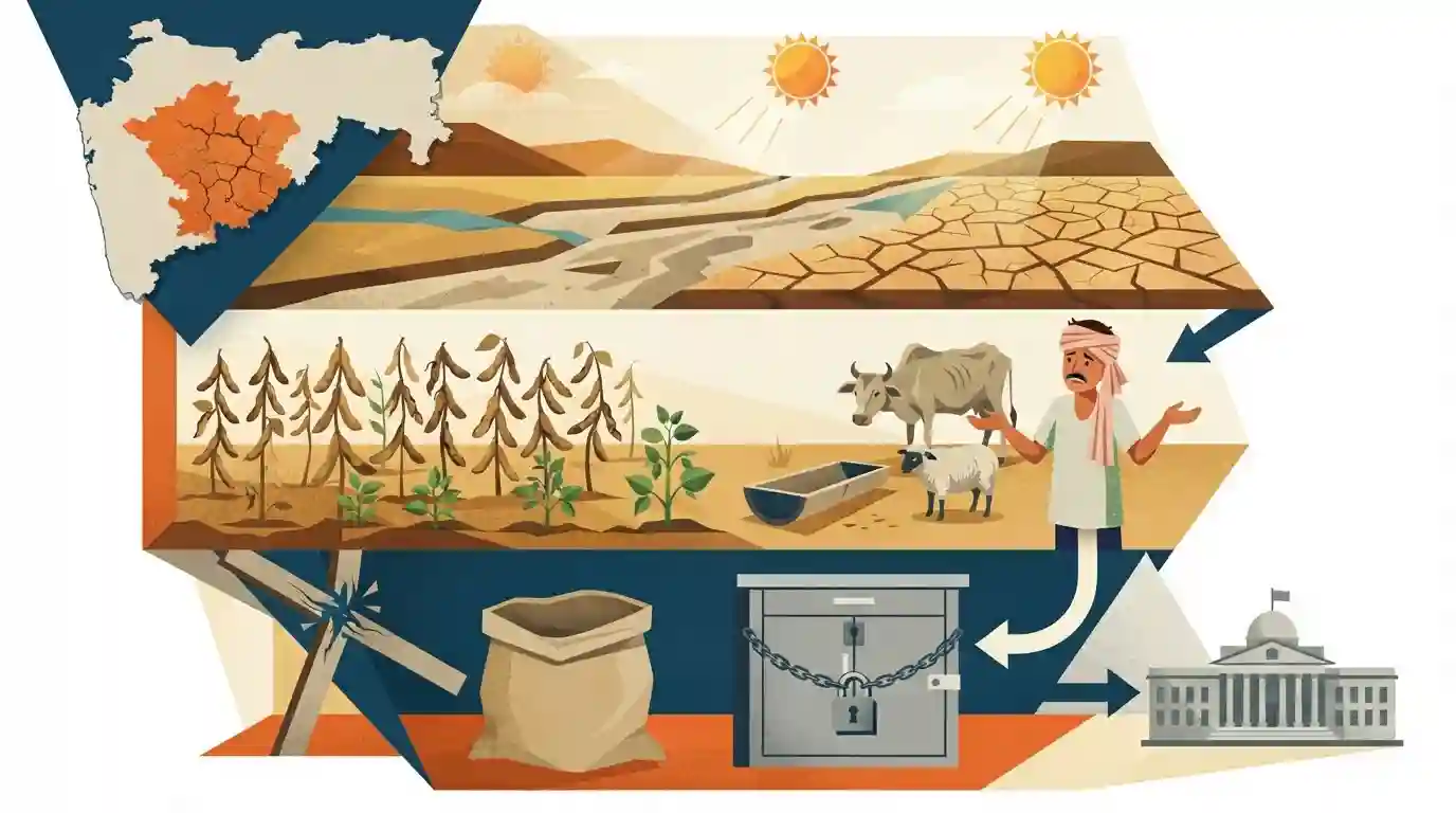
Farmers in the Marathwada region of Maharashtra, especially in districts like Dharashiv, are grappling with severe agricultural distress caused by crop damage (such as soybean), water scarcity, and a shortage of fodder for livestock. The article highlights the gap between ground-level rural hardships and official relief measures, underscoring systemic vulnerabilities in Maharashtra's rain-fed agriculture.
Key Points
- Farmers in Maharashtra's Marathwada region, particularly Dharashiv, face severe crop losses, water shortages, and a fodder crisis due to erratic rainfall and drought-like conditions affecting kharif crops like soybean.
- Despite widespread agricultural distress on the ground, administrative relief and drought declarations often face procedural delays ("drought on paper, distress on ground").
- The agrarian crisis highlights the vulnerability of rain-fed farming systems in interior Maharashtra plateau regions like Marathwada.
Important Terms
Marathwada Region

An administrative division of Maharashtra comprising eight districts (including Dharashiv and Latur) known for recurring rain-shadow droughts, hard basaltic geology, and heavy reliance on rain-fed kharif agriculture.
UPSC context
MPSC Paper I (Geography of Maharashtra) & Paper V (Economy/Agriculture): Tests understanding of regional disparities, drought vulnerability, and rain-fed farming crises.
Kharif Crops
Monsoon crops grown during the southwest rainy season (June-October), heavily dependent on timely rainfall; major examples include soybean, cotton, maize, and jowar in Maharashtra.
UPSC context
MPSC Agriculture & Economy: Tests knowledge of cropping patterns, seasonal vulnerabilities, and the impact of monsoon failures on state food security.
Soybean Crop Losses
An oilseed crop widely cultivated across Maharashtra that is highly sensitive to prolonged dry spells during critical flowering and pod-formation stages, prone to severe yield collapse.
UPSC context
MPSC Agriculture & Current Affairs: Evaluates agricultural economics, farmer distress, crop-yield estimation, and compensation mechanisms.
Panchnama (Crop Assessment)
Official on-ground assessments conducted using GPS coordinates and photographs by revenue authorities to calculate agricultural damage and compute disaster relief payouts.
UPSC context
MPSC Governance & Public Administration: Tests administrative procedures for disaster management and relief disbursement to distressed farmers.
Drought Declaration and Trigger-1
A designated state administrative framework invoked during rainfall deficits and prolonged dry spells, triggering relief measures like loan restructuring and electricity concessions.
UPSC context
MPSC Disaster Management & Policy: Tests framework protocols for declaring agricultural droughts and implementing state-level relief packages.
Prelims Trap
Marathwada is a canal-irrigated agricultural hub with reliable monsoon water supply.
Aspirants often assume Marathwada is entirely dependent on canals, whereas it is predominantly a rain-shadow, rain-fed plateau region with critically low irrigation percentage.
Static Concepts Connected
What are the core geographical and climatic features of the Marathwada region?
- Rain shadow:: Rain-shadow zone situated east of the Sahyadri mountain range on the Deccan Plateau.
- Low rainfall:: Receives low and erratic southwest monsoon rainfall, making agriculture heavily rain-fed and vulnerable.
- Districts:: Includes districts like Dharashiv (formerly Osmanabad), Beed, Latur, Nanded, and Chhatrapati Sambhajinagar.
What is the framework for official drought declaration in Maharashtra?
- Norms:: Based on the revised Manual for Drought Management and the State Drought Management Code.
- Trigger parameters:: Utilizes Trigger-I parameters including rainfall deficiency, dry spells, and reservoir storage levels.
- Crop assessment:: Assesses crop sown area and moisture index (NDVI) before formal relief is notified.
Cross-Topic Patterns
Marathwada Drought & Regional Imbalances
Marathwada's recurring water crisis links directly to Article 371(2) statutory development boards and the historical regional imbalances in irrigation allocation across Maharashtra divisions.
Rain-fed Agriculture & Crop Insurance Delays
Rain-fed soybean vulnerability mirrors broader Indian agrarian distress caused by erratic monsoons and delayed PMFBY crop insurance claim settlements.

Expect MPSC questions combining Marathwada's rain-shadow geography, drought manual criteria, and regional development board history.
Linked PYQs · 4
Linked PYQs · 4
- 2022MPSC_PRELIMSGS1
Observe the statements regarding agriculture in Maharashtra : (a) Soil erosion is not a serious problem of agriculture. (b) Soil erosion takes place due to flooding in rivers, forest cutting and uncontrolled grazing. (c) Soils are saline due to over-irrigation. Answer Options :
- 2020MPSC_PRELIMSGS1
What happened in Maharashtra due to fragmentation of agricultural land ? (a) Farmer is not able to produce food grains, sufficient for his family. (b) There are obstacle to supply water to agricultural land. (c) The use of modern agricultural tools is uneconomical. (d) To pay individual attention on agriculture is uneconomical. Answer Options :
- 2025MPSC_PRELIMSGS1
_______ Monsoon winds blow in Maharashtra from June to September.
- 2023MPSC_PRELIMSGS1
Which of the following is/are correct statements ? In Maharashtra, in order from north, the major hill ranges on the plateau and the river basins to their south are as follows : a. Tapi Purna basin to the south of the Satpura mountain range. b. Godavari river valley to the south of Satmala Ajintha hills. c. Harishchandra Balaghat hill and Bhima river basin to its south. d. Shambhu Mahadeva hills and Krishna river basin to its south.
