Maharashtra PWD Policy Mandates Drone Imaging for Land Acquisition
Source:Indian Express ↗
Why It Matters
Provides a practical case study of technology adoption (drones/UAVs) in governance to resolve traditional administrative bottlenecks like land acquisition delays and boundary disputes. Highly relevant for Mains GS2 (e-governance) and GS3 (technology in agriculture/land, infrastructure).
Summary
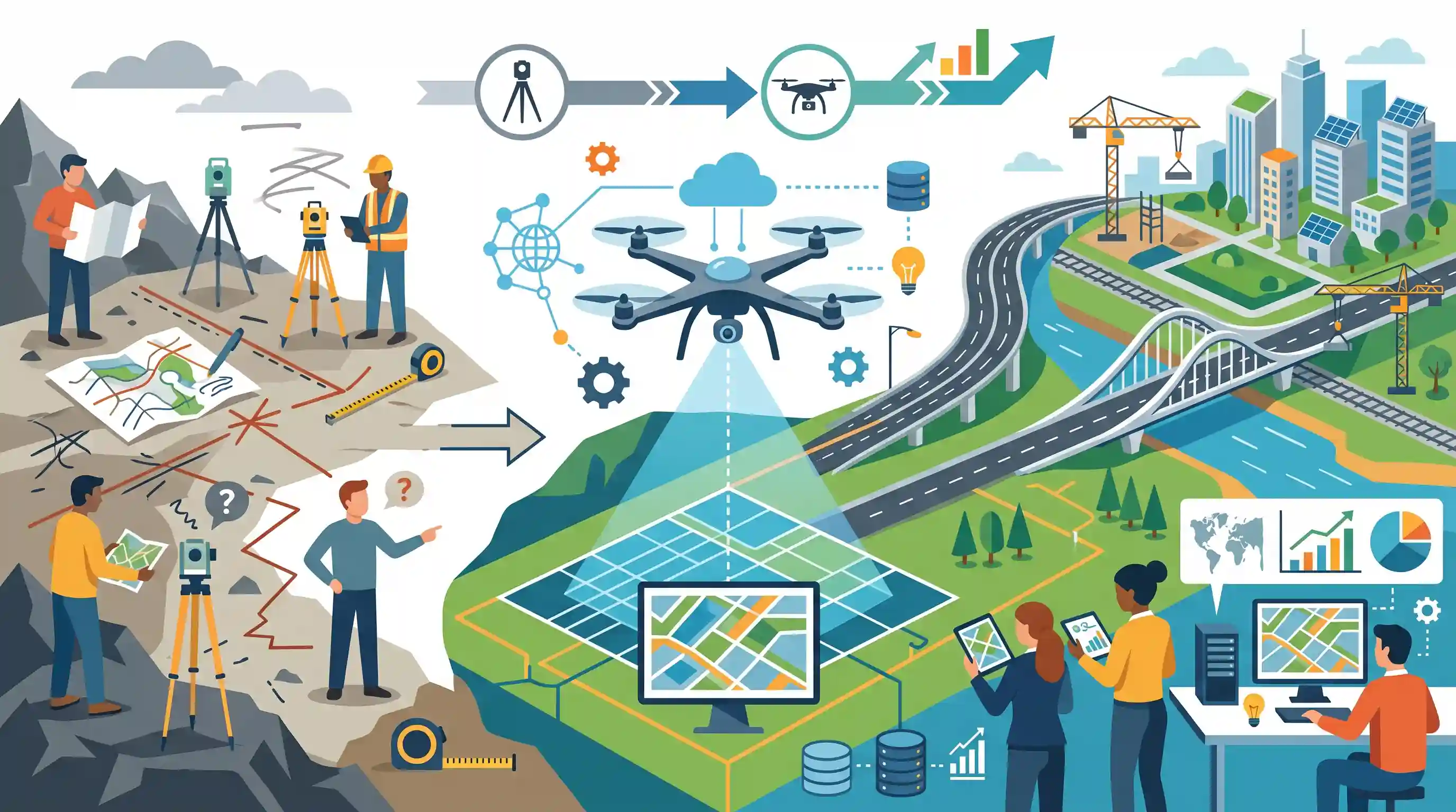
The Maharashtra Public Works Department (PWD) has rolled out a new policy to deploy drone imaging for land acquisition notifications, replacing traditional physical surveys. By utilizing unmanned aerial vehicles (UAVs), the state aims to expedite the mapping process, generate precise topographical data, and reduce boundary disputes that often delay infrastructure projects. This technology-driven approach marks a significant advancement in e-governance, ensuring greater transparency, accountability, and efficiency in land record management and public administration.
Key Points
- The Maharashtra Public Works Department (PWD) has introduced a policy mandating the use of drone imaging for land acquisition notifications.
- This move transitions the administration from time-consuming manual land surveys to faster, highly accurate drone-based digital mapping.
- Using unmanned aerial vehicles (UAVs) minimizes boundary disputes, ensures precise compensation calculations, and accelerates infrastructure development.
- The initiative is a significant step in e-governance, aligning with broader national goals of modernizing land records and enhancing transparency.
Important Terms
Digital India Land Records Modernisation Programme (DILRMP)

A Central Sector scheme launched in 2008 to digitize land records, survey/re-survey land, and integrate registration processes to create a modern, transparent, and dispute-free land management system across India.
UPSC context
GS Paper II (Governance) and III (Land Reforms); tests knowledge of administrative reforms and technological interventions in land management.
SVAMITVA Scheme
A central initiative using drone technology to map inhabited (Abadi) rural areas. It provides 'Records of Rights' through property cards, enabling rural owners to use property as financial assets.
UPSC context
GS Paper II and III; relevant for rural development, property rights, and technological applications in local governance.
Right to Fair Compensation and Transparency in Land Acquisition, Rehabilitation and Resettlement Act, 2013 (LARR Act)
The primary Indian legislation governing land acquisition. It mandates social impact assessments, specifies compensation (up to 4x market value in rural areas), and outlines the legal procedure for acquisition notifications.
UPSC context
GS Paper III (Infrastructure and Land Reforms); critical for understanding the legal framework and ethics of state-led land acquisition.
e-Governance
The application of Information and Communication Technology (ICT) to deliver government services, exchange information, and integrate various standalone systems, aiming for 'SMART' (Simple, Moral, Accountable, Responsive, and Transparent) governance.
UPSC context
GS Paper II; a core topic testing the impact of digital transformation on public administration and citizen-state interactions.
Unmanned Aerial Vehicles (UAVs)
Commonly known as drones, these are aircraft controlled remotely or autonomously. In governance, they are used for high-precision mapping, disaster management, and monitoring infrastructure projects.
UPSC context
GS Paper III (Science and Technology); focuses on the civil and strategic applications of emerging technologies in national development.
Land Acquisition Notification
A formal legal announcement under Section 11 of the LARR Act 2013, declaring the government’s intent to acquire specific land for public purposes, marking the start of the legal acquisition process.
UPSC context
GS Paper III; tests understanding of administrative procedures in infrastructure development and the rights of affected landowners.
Prelims Trap
The SVAMITVA scheme uses drone technology to map agricultural crop lands across India to issue digital titles.
SVAMITVA specifically maps rural inhabited (Abadi) areas to issue property cards for village homes, not agricultural crop fields.
Static Concepts Connected
What distinguishes Presumptive land titling from Conclusive land titling?
- Presumptive Titling: Current Indian system based on the Registration Act. It registers deeds, not titles. The state does not guarantee ownership, leaving it open to challenge.
- Conclusive Titling: The ultimate goal of DILRMP. The state guarantees title accuracy and provides compensation for any ownership disputes (often called the Torrens system).
What are the core mandates of the Land Acquisition Act (LARR), 2013?
- Consent Requirements: Mandates prior consent of 80% of affected families for private projects and 70% for Public-Private Partnerships (PPP).
- Social Impact: Mandatory Social Impact Assessment (SIA) to evaluate displacement, livelihood loss, and alternatives before acquisition.
- Enhanced Compensation: Provides compensation up to 4 times the market value in rural areas and 2 times in urban areas.
Cross-Topic Patterns
Land titling & financial inclusion
Creating precise digital boundaries formalizes property rights, converting undocumented land ('dead capital') into liquid collateral for institutional credit access in rural India.
Drone Rules 2021 & internal security
State deployment of UAVs relies on the Civil Aviation Ministry's 'Digital Sky Platform' and 'No Permission, No Takeoff' (NPNT) frameworks, balancing governance efficiency with internal security.

Expect a 2026 prelims question merging SVAMITVA's rural 'Abadi' focus with DILRMP's conclusive titling goals and drone application limits.
Linked PYQs · 4
Linked PYQs · 4
- 2023MainsGS2
e-governance, as a critical tool of governance, has ushered in effectiveness, transparency and accountability in governments. What inadequacies hamper the enhancement of these features ?
- 2024MainsGS2
e-governance is not just about the routine application of digital technology in service delivery process. It is as much about multifarious interactions for ensuring transparency and accountability. In this context evaluate the role of the 'Interactive Service Model' of e-governance.
- 2024PrelimsGS1
With reference to the Digital India Land Records Modernisation Programme, consider the following statements : 1. To implement the scheme, the Central Government provides 100% funding. 2. Under the Scheme, Cadastral Maps are digitised. 3. An initiative has been undertaken to transliterate the Records of Rights from local language to any of the languages recognized by the Constitution of India. Which of the statements given above are correct?
- 2020PrelimsGS1
Consider the following activities : 1. Spraying pesticides on a crop field 2. Inspecting the craters of active volcanoes 3. Collecting breath samples from spouting whales for DNA analysis At the present level of technology, which of the above activities can be successfully carried out by using drones ? Select the correct answer using the code given below:
