Darjeeling Himalayas Implement People-Centric Landslide Warning System
Source:india-mongabay ↗
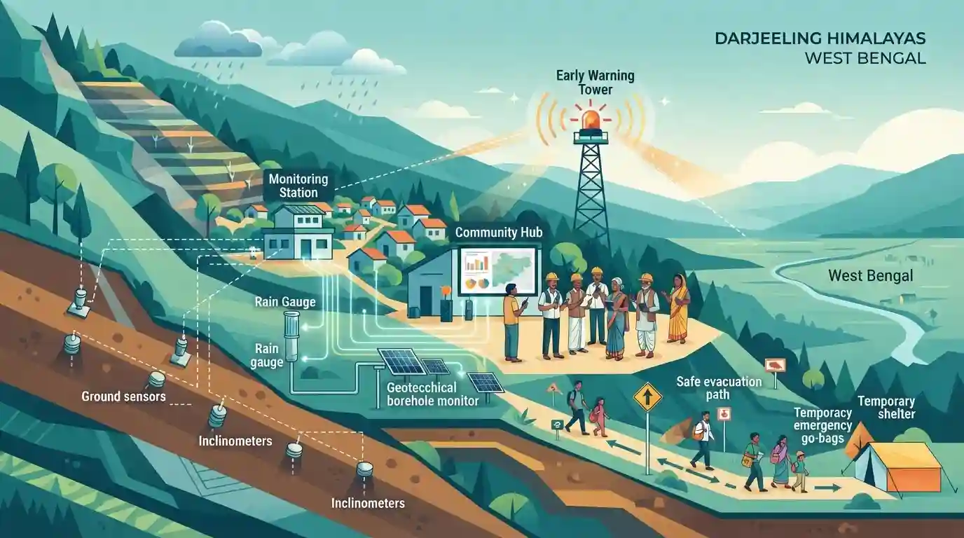
Why It Matters
Important for understanding regional geography, environmental vulnerabilities, and disaster management initiatives specific to West Bengal.
Summary
An overview of the implementation of a community-centric early warning system for landslides in the fragile Darjeeling Himalayas to enhance disaster preparedness and mitigate risks for local populations in West Bengal.
Key Points
- The Darjeeling Himalayas received a people-centric early warning system for landslides to mitigate natural disasters and protect local communities.
- Landslides are a recurring geo-hazard in the fragile hill regions of West Bengal, particularly during the monsoon season.
- People-centric early warning systems focus on community engagement, local awareness, and timely alerts to reduce casualties and property damage.
Static Concepts Connected
What are the primary geological and climatic causes of landslides in the Darjeeling Himalayas?
- Young Fold Mountains: Geologically fragile, young, and unstable Tertiary rock formations of the Himalayas.
- Monsoon Intensity: Heavy, concentrated monsoon rainfall triggering high pore-water pressure in soil slopes.
- Anthropogenic Pressure: Unscientific road cutting, deforestation, and unplanned urbanization on steep hillsides.
Cross-Topic Patterns
Landslide EWS + Decentralized Disaster Governance
Integrating disaster risk reduction with decentralized governance (Panchayati Raj) is vital for vulnerable hill regions like Darjeeling.

GSI-led pilot projects like the Darjeeling L-EWS frequently appear in WBCS geography and disaster management matching questions.
Linked PYQs · 2
Linked PYQs · 2
- 2014WBCS_PRELIMSGS1
The plains at the foot of the Darjeeling Himalayas is known as ___________- in Darjeeling district of West Bengal.
- 2020WBCS_PRELIMSGS1
National Institute of Disaster Management or NIDM was previously named as:
