Cyclone Senyar Formation and Bay of Bengal Meteorological Activity
Source:Indian Express ↗
Why It Matters
Tropical cyclones are a core topic in UPSC Geography (GS1) and Disaster Management (GS3). Understanding the conditions for cyclone formation in the Bay of Bengal, naming conventions, and the efficacy of early warning systems is crucial for Mains answers and Prelims geography questions.
Summary
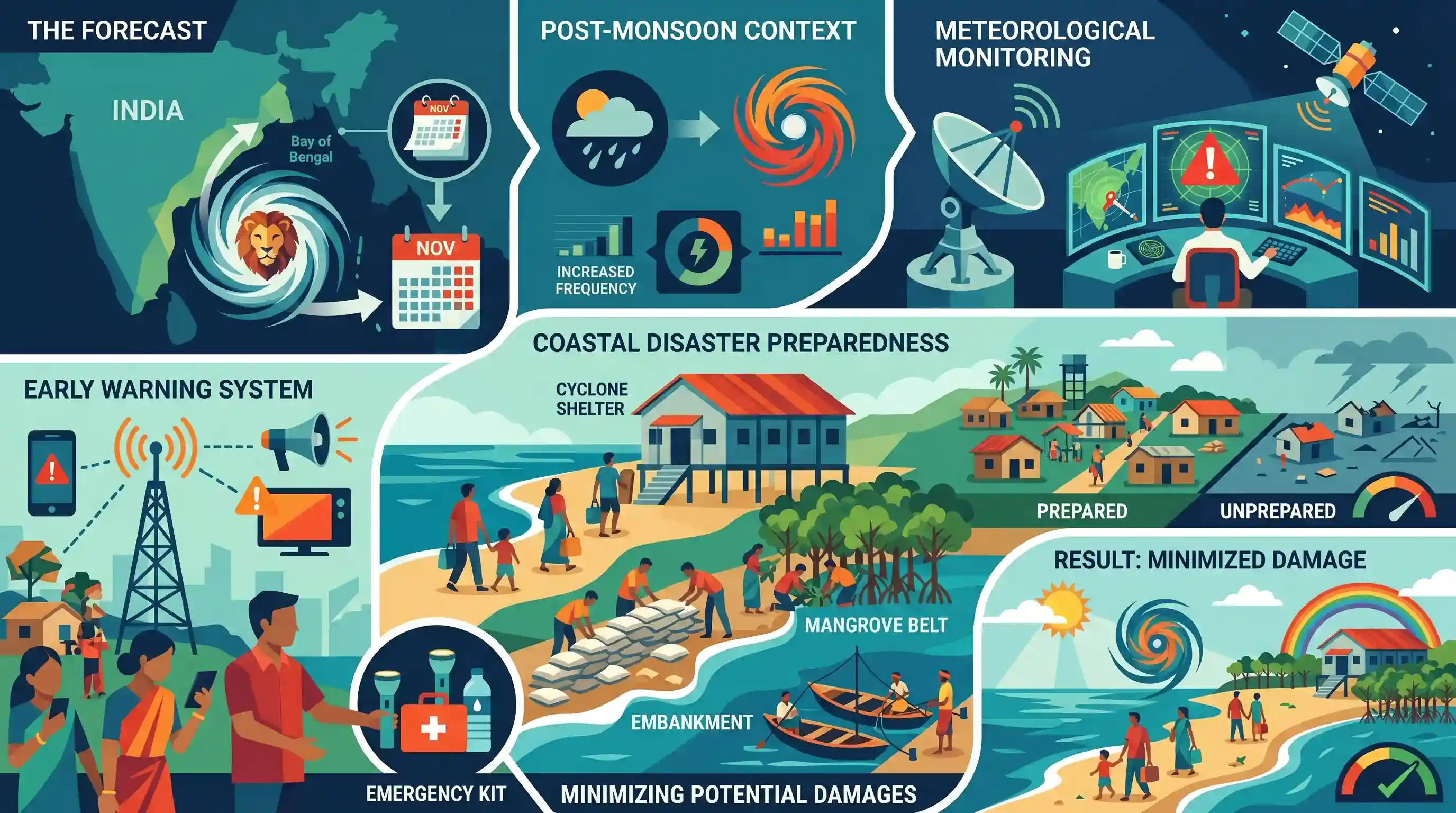
A new tropical cyclone named Senyar is forecasted to form in the Bay of Bengal towards the end of November. The impending cyclonic development highlights the active post-monsoon cyclone season in the region, bringing focus to meteorological monitoring, early warning systems, and coastal disaster preparedness to minimize potential damages.
Key Points
- Cyclone Senyar is expected to develop in the Bay of Bengal around November 26, according to meteorological forecasts.
- The formation of cyclones in the Bay of Bengal during the post-monsoon season (October-December) is a recurring geographical phenomenon driven by favorable sea surface temperatures and atmospheric conditions.
- Advance predictions of such cyclones emphasize the importance of early warning systems and disaster preparedness measures by authorities to mitigate impacts on coastal areas.
Important Terms
India Meteorological Department (IMD)

The principal government agency responsible for meteorological observations, weather forecasting, and seismology. It is the nodal agency for providing early warning services for tropical cyclones in India.
UPSC context
GS-1 (Geography) and GS-3 (Disaster Management). IMD's roles, color-coded alerts, and forecasting accuracy are frequently tested.
Tropical Cyclone
An intense low-pressure system forming over warm tropical oceans (SST > 27°C), characterized by strong winds, heavy rain, and a central 'eye' where air subsides.
UPSC context
GS-1 (Geography). Focus on formation conditions (Coriolis force, low wind shear) and its differences with temperate cyclones.
Post-monsoon Season
The period from October to December when the Bay of Bengal becomes highly active for cyclogenesis due to retreating monsoon currents and high sea surface temperatures.
UPSC context
GS-1 (Geography). Tests the understanding of seasonal distribution of cyclones and why the Bay of Bengal is more vulnerable than the Arabian Sea.
Landfall
The point where the center (eye) of a tropical cyclone moves from the sea onto the land, typically accompanied by the most destructive winds and storm surges.
UPSC context
GS-1 (Geography). Crucial for understanding the spatial impact of disasters and the point where a cyclone begins to dissipate.
Storm Surge
An abnormal rise in sea level near the coast caused by the low pressure and strong winds of a cyclone, often leading to massive coastal flooding.
UPSC context
GS-3 (Disaster Management). Major cause of fatality; knowledge of 'funneling effect' in the Bay of Bengal is vital.
Disaster Management
The systematic process of using various administrative decisions and operational activities to implement policies and improve coping capacities to lessen the adverse impacts of hazards.
UPSC context
GS-3 (Mains). Focuses on the shift from 'relief-centric' to 'proactive preparedness' (NDMA guidelines).
Early Warning System (EWS)
A chain of information communication systems used to warn people of impending hazards, enabling them to take action to reduce risks and prepare for effective response.
UPSC context
GS-3. Tests the 'last-mile connectivity' of warnings and the role of technologies like satellite imagery and radar.
Prelims Trap
Higher salinity in the Bay of Bengal contributes to its greater cyclone frequency compared to the Arabian Sea.
The Bay of Bengal actually has lower salinity due to massive freshwater river influx. This creates stratification, trapping warm water at the surface and fueling cyclogenesis.
Static Concepts Connected
Why is the Bay of Bengal more prone to cyclones than the Arabian Sea?
- Lower Salinity: Massive freshwater influx from major rivers creates stratification, preventing cooler deep waters from mixing and maintaining high sea surface temperatures.
- Typhoon Remnants: The Bay receives remnants of typhoons originating in the South China Sea, providing pre-existing low-pressure systems that intensify over warm waters.
- Funnel Shape: Its enclosed, funnel-like topography channels winds and intensifies storm surges towards the eastern coast of India.
What are the primary conditions required for tropical cyclogenesis?
- Warm Oceans: Sea surface temperatures of at least 26.5°C up to a depth of 50 meters to provide a continuous supply of latent heat.
- Coriolis Force: Sufficient Coriolis force to initiate cyclonic rotation, which is why tropical cyclones do not form exactly at the equator.
- Low Wind Shear: Minimal differences in vertical wind speed, allowing the cyclonic storm system to maintain its vertical structure without being torn apart.
Cross-Topic Patterns
WMO/ESCAP and soft diplomacy
The inclusion of Middle Eastern nations like the UAE and Yemen in the WMO/ESCAP naming panel reflects expanding geopolitical and meteorological cooperation across the broader North Indian Ocean region.
Mangroves and storm surge mitigation
IMD early warnings couple directly with ecological defense. Mains questions frequently link the intensity of Bay of Bengal cyclones with the protective role of coastal ecosystems like mangroves (e.g., MISHTI scheme).

A 2026 Prelims question will likely contrast cyclogenesis in the Arabian Sea vs Bay of Bengal, focusing on the role of ocean salinity.
Linked PYQs · 4
Linked PYQs · 4
- 2024MainsGS1
What is sea surface temperature rise? How does it affect the formation of tropical cyclones?
- 2014MainsGS1
Tropical cyclones are largely confined to South China Sea, Bay of Bengal and Gulf of Mexico. Why?
- 2022MainsGS1
Discuss the meaning of colour-coded weather warnings for cyclone prone areas given by India Meteorological Department.
- 2020MainsGS3
Discuss the recent measures initiated in disaster management by the Government of India departing from the earlier reactive approach.
