Sher Nala Bridge Inauguration on Haldwani Sitarganj Road
Source:garhwalpost ↗
Why It Matters
Local geography, regional infrastructure projects, and monsoon-related challenges are frequent subjects in UKPSC Prelims. Recognizing specific newly developed corridors (like the Haldwani-Chorgaliya-Sitarganj road) and problem points (like Sher Nala) can be highly relevant for state-specific geography and development questions.
Summary
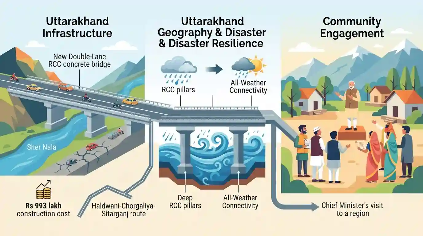
Uttarakhand Chief Minister Pushkar Singh Dhami has inaugurated a new double-lane RCC concrete bridge at Sher Nala on the crucial Haldwani-Chorgaliya-Sitarganj road in Nainital district. Constructed at a cost of Rs 993 lakh, the 120-meter bridge addresses a persistent local infrastructure challenge, as monsoon flooding in the Nala historically halted traffic for hours. This development ensures uninterrupted, all-weather connectivity for the region. Additionally, the Chief Minister utilized the visit to engage with citizens and address public grievances in Lakhanmandi Chorgalia.
Key Points
- Chief Minister Pushkar Singh Dhami inaugurated a 120-meter span double-lane RCC concrete bridge on Sher Nala along the Haldwani-Chorgaliya-Sitarganj road.
- The construction of the bridge, costing Rs 993.00 lakh, will prevent prolonged traffic disruptions previously caused by the overflowing Nala during the monsoon season.
- The bridge serves as a vital infrastructure upgrade, significantly easing travel for residents commuting through the Nainital district region.
- The Chief Minister also listened to public grievances at the Government Inter College in Lakhanmandi Chorgalia, reflecting an emphasis on active local administration.
Prelims Trap
"The Sher Nala bridge provides crucial all-weather connectivity for the Char Dham Yatra network."
The bridge is located in the Nainital district (Kumaon), serving the Bhabar-Terai industrial corridor. It has nothing to do with Garhwal or Char Dham.
Static Concepts Connected
What distinguish the Bhabar and Terai geographical zones of Uttarakhand?
- Bhabar Tract: A porous, gravel-rich tract immediately south of the Shivaliks where fast-flowing mountain streams often disappear underground.
- Terai Plains: A marshy, damp plain south of the Bhabar where underground streams re-emerge, characterized by high fertility and dense agriculture.
What are the major SIDCUL Integrated Industrial Estates (IIEs) in Uttarakhand?
- SIDCUL Role: State Infrastructure and Industrial Development Corporation of Uttarakhand Ltd, responsible for building industrial hubs.
- Key IIE Locations: Major operational IIEs are located in Haridwar, Pantnagar (Udham Singh Nagar), and Sitarganj, driving the state's manufacturing output.
Cross-Topic Patterns
Logistics & SIDCUL Industrial Hubs
Connecting Haldwani's commercial center to Sitarganj's SIDCUL estate ensures uninterrupted freight movement, securing the Bhabar-Terai economic corridor against monsoon-induced logistical delays.
Bhabar-Terai Topography & Monsoon Vulnerability
Ephemeral streams (Nalas) in the Bhabar transition zone frequently inundate roads. Upgrading to all-weather RCC bridges addresses this specific topographical vulnerability in Kumaon.

Expect a match-the-following question pairing recent Kumaon infrastructure projects or SIDCUL estates with their respective districts.
Linked PYQs · 2
Linked PYQs · 2
- 2025UKPSC_PRELIMSGS1
As per Uttarakhand Budget 2025-26, the amount allocated for Char Dham Road network improvement is
- 2024UKPSC_PRELIMSGS1
Which of the following stream is the tributary of Girthi river in Uttarakhand ?
