Cauvery River Basin Drying and Climate Change Projections
Source:The Hindu ↗
Why It Matters
It provides a scientific basis for an impending water crisis in South India, bridging climate science (CMIP6 modelling) with significant governance and geographical issues like inter-state water disputes and river interlinking.
Summary
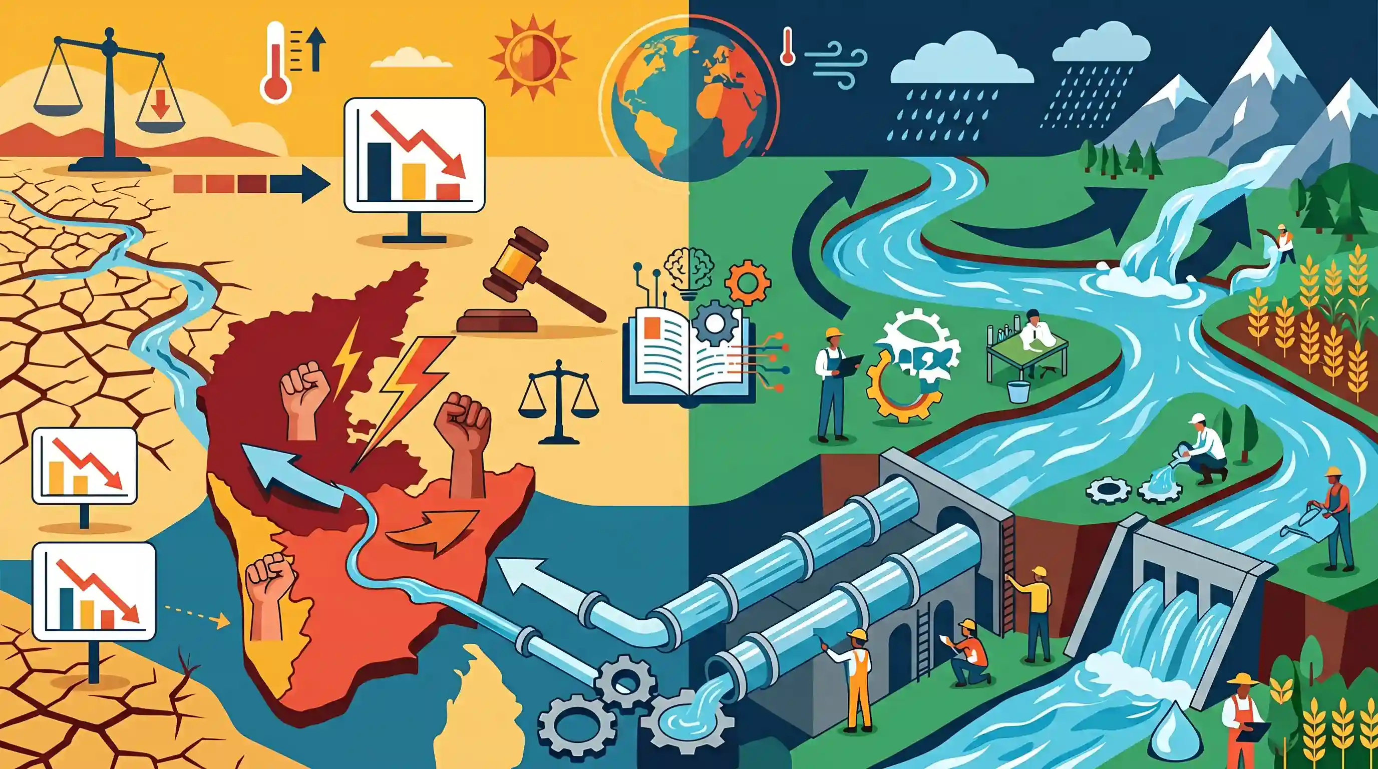
An IIT Gandhinagar study utilizing constrained climate modelling indicates that the Cauvery river basin will face continued drying and a 3.5% reduction in water availability until 2050. This contrasts sharply with other major Indian rivers like the Ganga and Indus, which are expected to swell due to global warming-induced rainfall. The projected water deficit in the Cauvery basin threatens to intensify the longstanding inter-state water-sharing dispute between Karnataka and Tamil Nadu, potentially challenging the 2018 Supreme Court water allocation. The findings highlight the critical need for sustainable water management strategies, including the proposed Godavari-Cauvery river interlinking project, to mitigate future scarcity.
Key Points
- A climate study by IIT Gandhinagar using 'constrained modelling' predicts the Cauvery river basin will experience a 3.5% decrease in water availability between 2026 and 2050.
- Unlike Cauvery, other major Indian rivers such as the Indus, Ganga, and Krishna are projected to swell in the near-term due to increased rainfall driven by global warming.
- Constrained modelling offers more accurate regional predictions by filtering out global CMIP6 models that do not align with local historical precipitation and temperature records.
- The impending water deficit is expected to exacerbate the historical water-sharing dispute between Karnataka and Tamil Nadu, complicating the 2018 Supreme Court allocation verdict.
- The study underscores the necessity of long-term supply-side interventions, such as the proposed Godavari-Cauvery river interlinking project, to address regional water scarcity.
Important Terms
Godavari-Cauvery link project

A major interlinking project aimed at diverting surplus water from the Godavari to the water-scarce Cauvery basin via the Krishna and Pennar rivers.
UPSC context
GS Paper III (Infrastructure); tests technical and federal challenges of the National Perspective Plan.
CMIP6 (Coupled Model Intercomparison Project)
The sixth phase of a global framework that standardizes climate model simulations used for IPCC reports to project future climate changes.
UPSC context
GS Paper III (Environment); scientific backbone for global warming and climate impact assessments.
Cauvery Water Disputes Tribunal (CWDT)
A statutory body constituted in 1990 under the Inter-State River Water Disputes Act to adjudicate water sharing between Karnataka, Tamil Nadu, Kerala, and Puducherry.
UPSC context
GS Paper II (Polity); relates to Article 262 and inter-state federal disputes.
2018 Supreme Court Verdict (Cauvery)
A landmark judgment declaring the Cauvery a national asset and modifying the CWDT award to prioritize drinking water needs for Bengaluru.
UPSC context
GS Paper II (Judiciary); tests the principle of equitable apportionment in resource sharing.
Cauvery Water Management Authority (CWMA)
A regulatory body formed in 2018 to implement and monitor the Supreme Court's water-sharing orders among the riparian states of the Cauvery basin.
UPSC context
GS Paper II (Governance); tests the role of statutory bodies in executive implementation of judicial decrees.
Prelims Trap
Global warming will lead to a uniform decrease in water availability across all major Indian river basins by 2050.
The study specifically predicts that northern rivers (Ganga, Indus) and even the Krishna will actually swell due to increased rainfall, whereas the Cauvery basin will dry up.
Static Concepts Connected
What are the key geographical features of the Cauvery River basin?
- Source: Originates at Talakaveri in the Brahmagiri range (Western Ghats), Karnataka, flowing east into the Bay of Bengal.
- Monsoon dual benefit: Uniquely receives rainfall from both the South-West (summer) and North-East (winter) retreating monsoons, sustaining its flow.
- Tributaries: Key tributaries include Hemavati, Kabini, Bhavani, Lakshmantirtha, Noyyal, and Arkavati.
How are inter-state river water disputes adjudicated in India?
- Constitutional provision: Article 262 empowers Parliament to adjudicate disputes regarding the use, distribution, or control of inter-state rivers.
- Statutory mechanism: The Inter-State River Water Disputes Act, 1956 enables the Union government to constitute ad-hoc tribunals for resolution.
- Judicial review: Article 262 explicitly bars the Supreme Court's original jurisdiction, but the SC often intervenes through Special Leave Petitions (Article 136).
Cross-Topic Patterns
Climate impacts on Water Federalism
Climate-induced resource scarcity directly tests constitutional mechanisms like Article 262. Tribunals relying on static historical data will fail if climate persistently alters baseline river yields.
Godavari-Cauvery link and Topography
Addressing Cauvery's deficit via Godavari surplus involves lifting water across the Deccan plateau. UPSC frequently tests the geographical viability and ecological cost of such peninsular megaprojects.

Expect a 2026 Geography-Polity hybrid question linking Cauvery's basin topography and tributaries with Article 262 tribunal mechanisms.
Linked PYQs · 4
Linked PYQs · 4
- 2020MainsGS1
The interlinking of rivers can provide viable solutions to the multi-dimensional inter-related problems of droughts, floods and interrupted navigation. Critically examine.
- 2017MainsGS3
'Climate change' is a global problem. How India will be affected by climate change? How Himalayan and coastal states of India will be affected by climate change?
- 2016PrelimsGS1
Recently, linking of which of the following rivers was undertaken?
- 2016PrelimsGS1
In which of the following regions of India are shale gas resources found? 1. Cambay Basin 2. Cauvery Basin 3. Krishna-Godavari Basin Select the correct answer using the code given below.
