Climate Resilient Urban Planning and Coastal Adaptation
Source:The Hindu ↗
Why It Matters
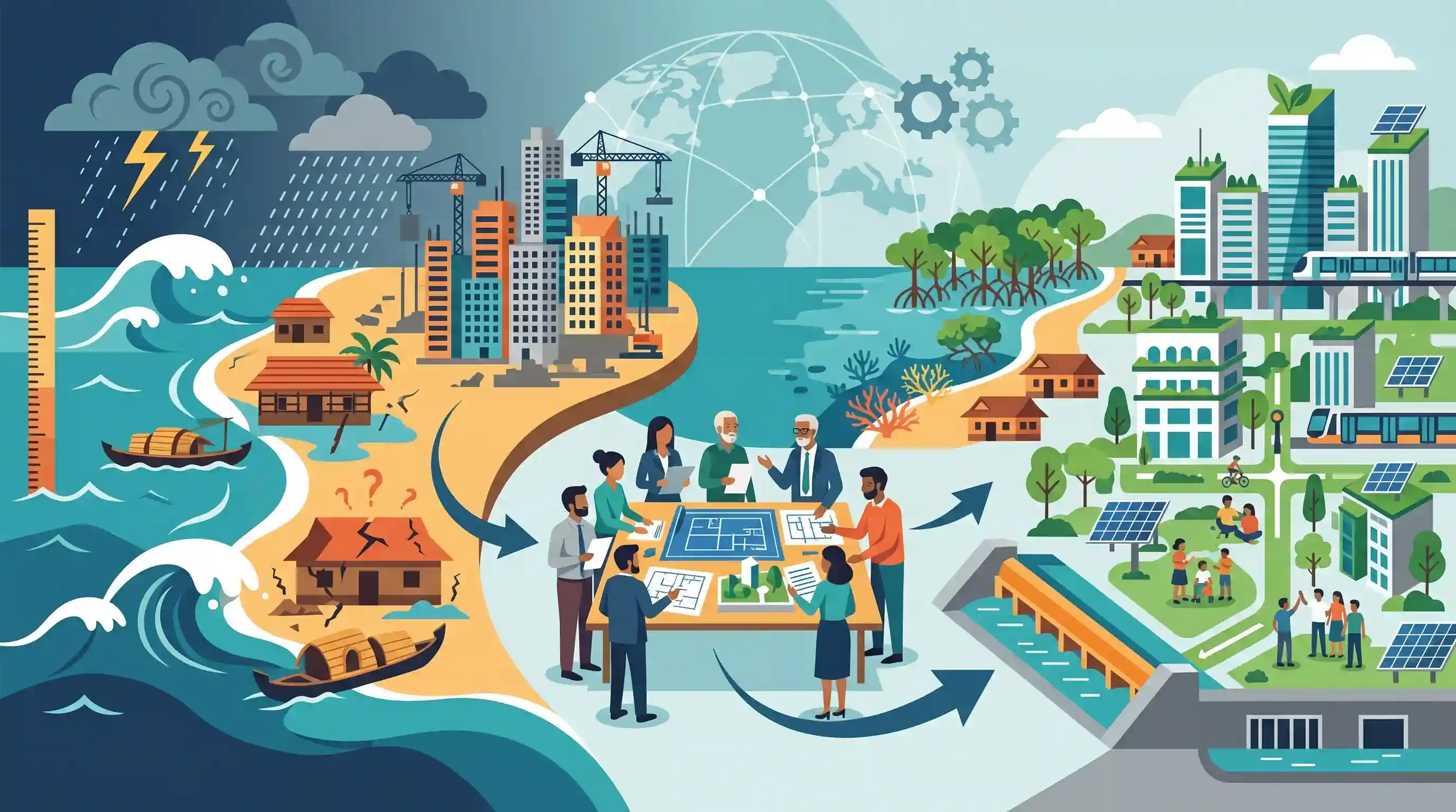
Rapid urbanization combined with climate-induced coastal and meteorological vulnerabilities creates complex governance challenges. The article serves as an excellent case study for Mains GS1 (urbanization) and GS3 (environment and disaster management) on the necessity of integrated, nature-based, and climate-resilient planning.
Summary
Experts and policymakers emphasize the urgent need for climate-resilient planning in Kerala to combat the escalating threats of climate change. With global sea levels projected to rise up to 1.1 meters by 2100 and a high frequency of extreme weather events, the state's coastal vulnerabilities are critically exposed. Furthermore, Kerala is undergoing rapid urbanization, with 80% of its land expected to be urbanized by 2050. Considering the state's limited developable land, experts advocate for integrated land-use frameworks and nature-based solutions to ensure sustainable, disaster-resilient urban development. The discussions reflect broader global shifts towards adaptive infrastructure spearheaded by organizations like the IPCC and CDRI.
Key Points
- Global sea levels are projected to rise by 0.5 to 1.1 meters by 2100, heavily threatening coastal regions like Kerala.
- Kerala is experiencing intensified extreme weather events, including unprecedented monsoons and heightened coastal risks.
- Urbanization is rapidly accelerating; by 2050, 80% of Kerala and 70% of the world's population will reside in urban areas.
- Due to a severe shortage of developable land, Kerala requires integrated, climate-resilient urban planning that incorporates nature-based solutions rather than relying solely on hard infrastructure.
Important Terms
Nature-based solutions (NbS)

Actions to protect, sustainably manage, and restore ecosystems to address societal challenges effectively and adaptively, while simultaneously providing human well-being and biodiversity benefits.
UPSC context
GS III (Environment/Disaster Management). Tests knowledge of sustainable adaptation strategies like mangrove restoration for coastal protection.
Climate-resilient planning
An integrated development strategy incorporating dynamic climate-risk data into urban land-use and infrastructure decisions to minimize vulnerability and enhance a system's capacity to absorb shocks.
UPSC context
GS I (Urbanization) and GS III (Disaster Management). Essential for understanding sustainable urban development and proactive risk reduction.
Coalition for Disaster Resilient Infrastructure (CDRI)
An India-led global partnership launched in 2019 aimed at promoting the resilience of new and existing infrastructure systems to climate and disaster risks.
UPSC context
GS III (Disaster Management) and GS II (International Relations). Highlights India's global leadership in climate-resilient infrastructure standards.
Intergovernmental Panel on Climate Change (IPCC)
The United Nations body for assessing climate science. It provides regular global assessments on climate risks, adaptation, and mitigation to inform international policy negotiations.
UPSC context
GS III (Environment). Critical for understanding global warming targets and scientific frameworks like the Sixth Assessment Report (AR6).
Kerala State Disaster Management Authority (KSDMA)
A statutory body established under the Disaster Management Act, 2005, responsible for formulating and coordinating disaster risk reduction and response policies tailored to Kerala's geography.
UPSC context
GS III (Disaster Management). Relevant for studying state-level institutional frameworks and mitigation plans for floods and landslides.
Prelims Trap
"CDRI is a specialized UN agency formed under the UNFCCC to fund climate infrastructure."
CDRI is an independent global partnership launched by the Government of India in 2019 with its secretariat in New Delhi. It is not a UN specialized agency.
Static Concepts Connected
What is the Coalition for Disaster Resilient Infrastructure (CDRI)?
- Origin: Launched by India at the 2019 UN Climate Action Summit in New York.
- Headquarters: The Secretariat is located in New Delhi, India.
- Mandate: Promotes resilience of new and existing infrastructure systems to climate and disaster risks through knowledge exchange and capacity building.
What are Nature-based Solutions (NbS) in disaster risk reduction?
- Definition: Actions to protect, sustainably manage, and restore ecosystems to address societal challenges like climate change.
- Application: Using mangroves for coastal defense (bio-shields) or preserving wetlands for urban flood control instead of relying solely on concrete.
- Co-benefits: NbS simultaneously provides human well-being and biodiversity benefits alongside disaster mitigation.
Cross-Topic Patterns
CDRI & India's Climate Diplomacy
Links CDRI with the International Solar Alliance (ISA) and the Global Biofuels Alliance as core pillars of India's proactive global climate diplomacy and institution-building.
Coastal Urbanization & CRZ Rules
Connects state-level rapid urbanization challenges with the central Coastal Regulation Zone (CRZ) norms, a frequent theme in GS3 environmental governance and disaster management.

Expect a Prelims question comparing CDRI's mandate with ISA, or a GS3 Mains question on integrating NbS in urban flood management.
Linked PYQs · 5
Linked PYQs · 5
- 2024MainsGS3
Flooding in urban areas is an emerging climate-induced disaster. Discuss the causes of this disaster. Mention the features of two such major floods in the last two decades in India. Describe the policies and frameworks in India that aim at tackling such floods.
- 2022MainsGS3
Explain the causes and effects of coastal erosion in India. What are the available coastal management techniques for combating the hazard?
- 2019MainsGS3
Vulnerability is an essential element for defining disaster impacts and its threat to people. How and in what ways can vulnerability to disasters be characterized? Discuss different types of vulnerability with reference to disasters.
- 2019MainsGS3
Disaster preparedness is the first step in any disaster management process. Explain how hazard zonation mapping will help disaster mitigation in the case of landslides.
- 2021MainsGS1
What are the environmental implications of the reclamation of water bodies into urban land use ? Explain with examples.
