India Rejects China Renaming Arunachal Places
Source:Indian Express ↗
Why It Matters
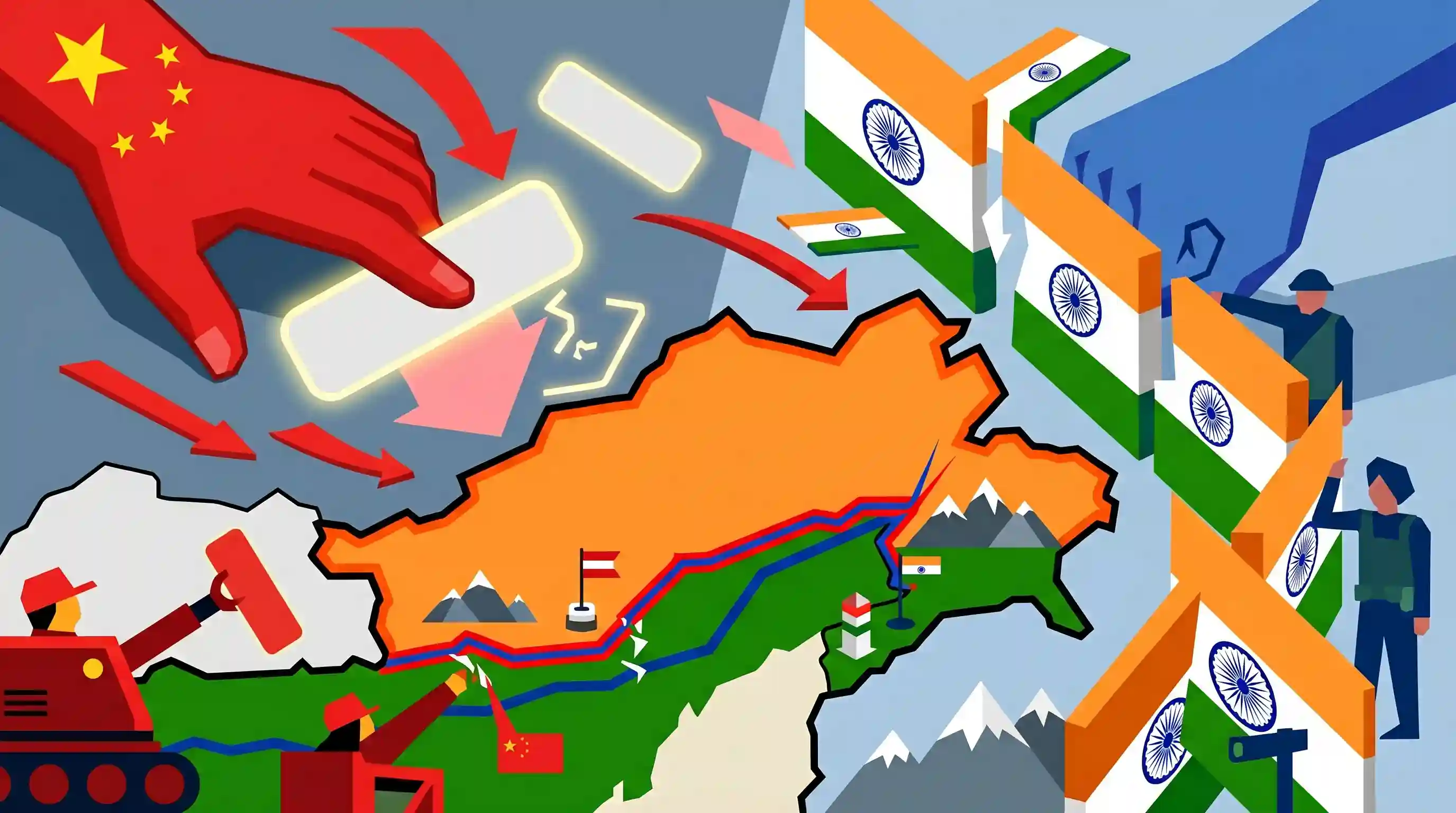
China's repeated attempts to rename places in Arunachal Pradesh (cartographic aggression) reflect its persistent efforts to challenge India's sovereignty and alter the status quo. Understanding this helps aspirants grasp the complexities of India's border management challenges, territorial disputes, and the nuances of the India-China bilateral relationship, which are frequently tested in UPSC examinations.
Summary
The Ministry of External Affairs (MEA) strongly rejected China's recent attempt to rename places in Arunachal Pradesh, terming the move as "preposterous" and "senseless." Reaffirming that Arunachal Pradesh is an integral and inalienable part of India, the MEA emphasized that "invented names" will not alter the reality of the state's status. This is the latest in a series of moves by Beijing to assert its claims over the state, which China refers to as Zangnan (South Tibet), highlighting ongoing border tensions and cartographic aggression by China along the Line of Actual Control (LAC).
Key Points
- The Ministry of External Affairs (MEA) categorically rejected China's move to release a new list of renamed places in Arunachal Pradesh, calling the attempt "preposterous" and "senseless."
- India strongly reiterated that Arunachal Pradesh has been, is, and will always remain an integral and inalienable part of the country, and that "invented names" will not alter reality.
- China claims Arunachal Pradesh as "Zangnan" or "South Tibet" and frequently engages in such "cartographic aggression" to assert its territorial claims.
- This diplomatic pushback highlights the continuing tensions and unresolved border issues between India and China along the Line of Actual Control (LAC).
Important Terms
Ministry of External Affairs (MEA)

Nodal agency of the Government of India responsible for the conduct of foreign relations, representing the country in international forums and responding to external territorial claims.
UPSC context
GS Paper 2: International Relations; crucial for understanding India's diplomatic responses and foreign policy machinery.
Line of Actual Control (LAC)
The de facto border between India and China, divided into Western (Ladakh), Middle (Himachal/Uttarakhand), and Eastern (Sikkim/Arunachal) sectors, characterized by differing territorial perceptions.
UPSC context
GS Paper 2 & 3: India-China relations and Border Management; tests knowledge of boundary disputes and security challenges.
Cartographic Aggression
A strategy involving the intentional misrepresentation of boundaries or names on official maps to assert territorial claims and influence domestic/international opinion.
UPSC context
GS Paper 3: Internal Security & GS Paper 2: IR; relates to non-traditional warfare and psychological tactics in territorial disputes.
McMahon Line
A 1914 agreement between British India and Tibet that defined the border in the Eastern Sector; China rejects its validity, claiming Tibet lacked sovereign treaty-making power.
UPSC context
GS Paper 1 (History) & Paper 2 (IR); central to the historical and legal basis of the India-China border dispute.
Zangnan
The Mandarin term used by China to refer to Arunachal Pradesh, which it claims as 'South Tibet' based on historical administrative ties to the Tibetan region.
UPSC context
GS Paper 2: International Relations; tests awareness of Chinese terminology and the specific nature of its claims over Indian territory.
Simla Convention (1914)
A 1914 conference aimed at settling the status of Tibet and its borders; it resulted in the McMahon Line, though China never ratified the final convention.
UPSC context
GS Paper 1: Modern Indian History; relevant for the evolution of India's northern boundaries and colonial-era diplomacy.
Prelims Trap
The McMahon Line forms the mutually agreed and legally recognized border between India and China in the eastern sector.
China categorically rejects the 1914 McMahon Line, arguing that Tibet lacked sovereign authority to sign the Simla Convention. It is a disputed de facto boundary.
Static Concepts Connected
What is China's "Three Warfares" doctrine?
- Legal Warfare: Using domestic and international law to assert sovereignty claims, such as passing land border laws or renaming places to manufacture territorial legitimacy.
- Media Warfare: Controlling information and shaping narratives across global and domestic broadcasting to legitimize its territorial actions and portray the adversary as the aggressor.
- Psychological Warfare: Employing coercive tactics, economic threats, and diplomatic pressure to intimidate adversaries and deter them from challenging Beijing's positions.
What are the historical demarcations of the India-China border?
- Western Sector: Involves the Johnson Line (India's official claim which includes Aksai Chin) and the Macartney-MacDonald Line (which aligns closer to China's claim).
- Middle Sector: The relatively peaceful and undisputed stretch running along the borders of Himachal Pradesh and Uttarakhand.
- Eastern Sector: Based on the 890-km McMahon Line drawn during the 1914 Simla Convention, establishing the boundary between Tibet and British India.
Cross-Topic Patterns
Border Development vs. Lawfare
China’s renaming acts as legal warfare, which India now counters physically and demographically via the Vibrant Villages Programme, ensuring strategic border settlements are retained and developed.
Tawang’s Buddhist Geopolitics
Tawang’s significance as the 6th Dalai Lama's birthplace makes it a flashpoint merging GS-1 Art & Culture with GS-2 IR, tying into broader Sino-Indian disputes over Tibetan Buddhism's leadership.

Expect a mapping question on Arunachal passes (Bum La, Sela) or a Mains GS-3 question analyzing China's 'Three Warfares' doctrine.
Linked PYQs · 3
Linked PYQs · 3
- 2024MainsGS3
India has a long and troubled border with China and Pakistan fraught with contentious issues. Examine the conflicting issues and security challenges along the border. Also give out the development being undertaken in these areas under the Border Area Development Programme (BADP) and Border Infrastructure and Management (BIM) Scheme.
- 2016MainsGS3
Border management is a complex task due to difficult terrain and hostile relations with some countries. Elucidate the challenges and strategies for effective border management.
- 2014MainsGS2
With respect to the South China sea, maritime territorial disputes and rising tension affirm the need for safeguarding maritime security to ensure freedom of navigation and over flight throughout the region. In this context, discuss the bilateral issues between India and China.
