Chardham Yatra Enters Phase Two Amid Monsoon and Landslide Risks
Source:etvbharat ↗
Why It Matters
Understanding the ecological vulnerability of the Himalayan region, high-altitude health physiology, and disaster management strategies is highly important for the UKPSC PCS Exam. The Chardham Yatra serves as a key intersection of state economy, religious tourism, infrastructural logistics, and environmental challenges.
Summary
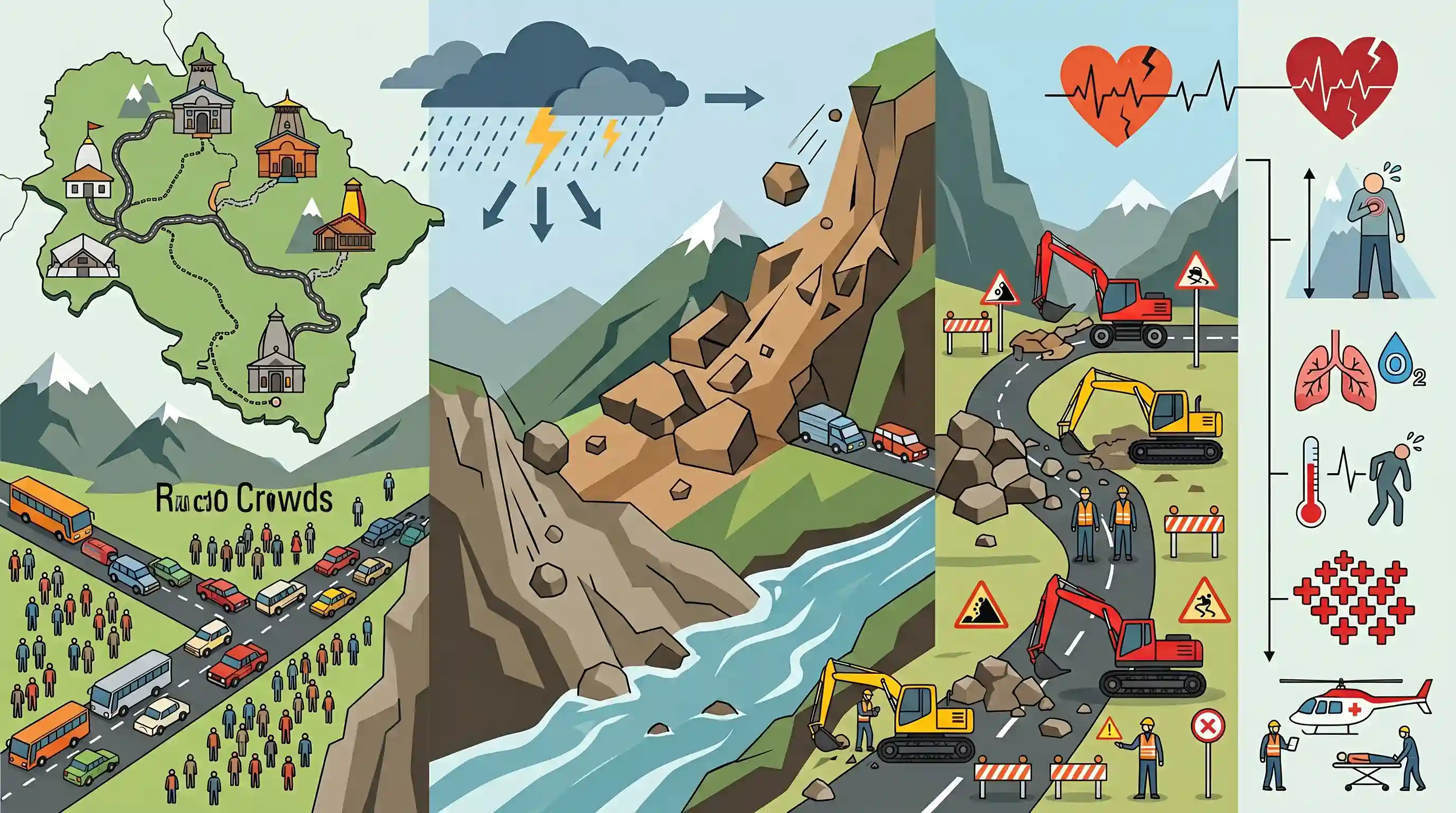
Uttarakhand's Chardham Yatra is entering its second phase in late June 2026 as the southwest monsoon arrives in the state. After a record-breaking first phase that saw over 37.35 lakh pilgrims visit Kedarnath, Badrinath, Gangotri, Yamunotri, and Hemkund Sahib, the challenges are shifting from crowd management to severe monsoon-related hazards. These include landslides, rockfalls, road blockages, and rising river levels in the fragile Himalayan terrain. Additionally, physiological risks at high altitudes have led to 198 deaths so far, primarily from cardiovascular issues and hypoxia. In response, Chief Minister Pushkar Singh Dhami has directed extensive preparations, with the PWD deploying heavy machinery (JCBs, Poclains) at landslide-prone zones and Disaster Management officials issuing strict safety advisories for travelers.
Key Points
- The second phase of the Chardham Yatra begins in late June 2026, coinciding with the arrival of the monsoon in Uttarakhand (predicted around June 22 by the IMD).
- During the first phase (as of June 18), more than 37.35 lakh pilgrims visited the shrines, including Kedarnath (12.61L), Badrinath (11.67L), Gangotri (6.17L), Yamunotri (5.83L), and Hemkund Sahib (1.05L).
- With the monsoon's arrival, the primary challenges of the pilgrimage transition from crowd/traffic management to geographical and weather hazards like landslides, rockfalls, road collapses, and overflowing mountain rivers.
- A high health toll was recorded with 198 deaths during the first phase, mostly due to pre-existing conditions (hypertension, diabetes, heart disease) aggravated by low oxygen levels, long trekking, and sudden weather shifts at high altitudes.
- State mitigation measures include the PWD's deployment of heavy earthmovers (JCBs, Poclains) at critical landslide-prone sites and the posting of nodal officers for 24-hour route surveillance to maintain connectivity.
- The Disaster Management Secretary, Vinod Suman, issued safety advisories for pilgrims, urging them to check weather updates, carry essential gear (waterproofs, meds, flashlights), and avoid traveling on closed/restricted routes.
Important Terms
Chardham Yatra

A revered Himalayan pilgrimage circuit in Uttarakhand consisting of four sacred Hindu shrines: Yamunotri, Gangotri, Kedarnath, and Badrinath.
UPSC context
GS Paper I (Indian Culture & Geography); tests understanding of pilgrimage circuits, cultural tourism, and geographic challenges in the Himalayas.
India Meteorological Department (IMD)
The principal government agency under the Ministry of Earth Sciences responsible for meteorological observations, weather forecasting, and seismology.
UPSC context
GS Paper I (Geography) and GS Paper III (Disaster Management); tests knowledge of weather forecasting, monsoons, and early warning systems.
Uttarakhand State Disaster Management Authority (USDMA)
The state's nodal agency under the Disaster Management Act 2005 responsible for planning, co-ordinating, and monitoring disaster mitigation and preparedness.
UPSC context
GS Paper III (Disaster Management); tests knowledge of state-level institutional frameworks for managing natural disasters in ecologically fragile zones.
Uttarakhand Public Works Department (PWD)
The premier state engineering department responsible for planning, constructing, and maintaining critical infrastructure like roads, bridges, and government buildings.
UPSC context
GS Paper III (Infrastructure); tests understanding of state infrastructure development, road connectivity, and landslide mitigation in hilly terrains.
Uttarakhand Health Department
The state's administrative body responsible for planning and implementing healthcare policies, medical infrastructure, and emergency health services.
UPSC context
GS Paper II (Social Justice/Health); tests awareness of public health governance, medical preparedness, and emergency management during massive public events.
Prelims Trap
The geographic sequence of the Chota Char Dham from west to east is Gangotri, Yamunotri, Kedarnath, and Badrinath.
Yamunotri is the westernmost shrine. The correct west-to-east sequence is Yamunotri, Gangotri, Kedarnath, and Badrinath, which mirrors the westernmost to easternmost river basins.
Static Concepts Connected
What is the Panch Prayag system and its downstream geographic confluence order?
- Definition: A series of five sacred river confluences along the Alaknanda River in Uttarakhand before it forms the Ganges.
- Sequential Order: From upstream (North) to downstream (South): Vishnuprayag, Nandprayag, Karnaprayag, Rudraprayag, and Devprayag.
- Key Confluences: Alaknanda merges with Dhauliganga (Vishnuprayag), Nandakini (Nandprayag), Pindar (Karnaprayag), Mandakini (Rudraprayag), and Bhagirathi (Devprayag).
What is High-Altitude Pulmonary Edema (HAPE) and its physiological mechanism?
- Trigger: Rapid ascent above 2,500 meters causes hypobaric hypoxia due to low atmospheric pressure.
- Physiological Impact: Triggers hypoxic pulmonary vasoconstriction, increasing pulmonary artery pressure and causing fluid accumulation in alveoli.
- Mitigation: Immediate descent to lower altitude and supplemental oxygen therapy are vital to prevent mortality.
Cross-Topic Patterns
Eco-tourism vs. Himalayan carrying capacity
Unregulated religious tourism strains fragile Himalayan ecosystems, triggering landslides. This links GS-1 Geography (landslides) with GS-3 Environment (carrying capacity of eco-sensitive zones).
Disaster tech + Early warning systems
Utilizing Doppler Weather Radars and real-time monitoring for high-altitude pilgrimages bridges GS-3 Disaster Management with Science & Technology applications in hazardous terrains.

UPSC may frame a 2026 question mapping Himalayan headstreams, glaciers (Chorabari, Satopanth), and the sequential order of Panch Prayags.
Linked PYQs · 3
Linked PYQs · 3
- 2021UKPSC_PRELIMSGS1
At which place in Uttarakhand did the Indian, Meteorological Department install a Doppler Weather Radar?
- 2024UKPSC_PRELIMSGS1
Durmital is located in which of the following district of Uttarakhand ?
- 2025UKPSC_PRELIMSGS1
Which of the following is the correct order of the following physiographic regions of Uttarakhand from south to north direction?
