Extreme weather events and urban disaster vulnerability in Brazil
Source:The Hindu ↗
Why It Matters
The floods in Brazil provide a potent international case study for UPSC aspirants regarding the disastrous consequences of combining climate-induced extreme weather with unplanned urban sprawl. This mirrors challenges faced by Indian metropolises and Himalayan states, making it highly relevant for Mains GS1 (Urbanization) and GS3 (Disaster Management and Environment).
Summary
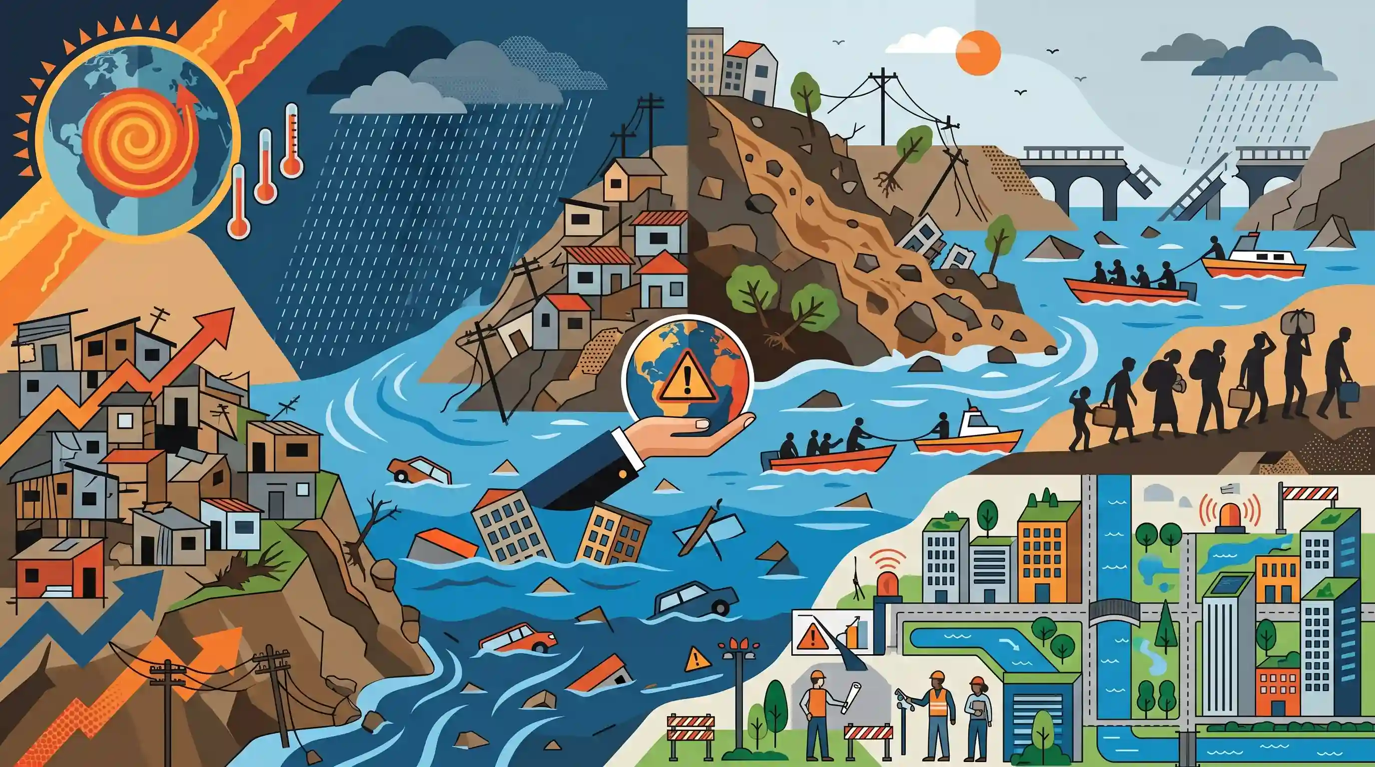
Severe floods and mudslides triggered by torrential rains in southeastern Brazil, specifically the state of Minas Gerais, have left at least 25 people dead and thousands displaced. Experts warn that the compounding effects of climate change and rampant, unplanned urbanisation in risk-prone terrains are intensifying the severity of such storm disasters. As extreme weather events become more frequent globally, the catastrophe serves as a stark reminder of the urgent need for robust disaster risk reduction and climate-resilient urban planning.
Key Points
- Torrential rains triggered massive floods and mudslides in southeastern Brazil, notably in the state of Minas Gerais, causing widespread fatalities and displacement.
- The disaster underscores the deadly intersection of extreme weather events and rampant, unplanned urbanisation in vulnerable topographies.
- Climate change continues to alter global weather patterns, increasing the frequency and intensity of severe storms and associated disasters.
- The event highlights the critical importance of early warning systems (like those issued by Inmet) and proactive disaster preparedness to mitigate loss of life.
Important Terms
Sendai Framework for Disaster Risk Reduction (SFDRR)

A global 15-year voluntary agreement (2015-2030) aiming to reduce disaster risk, mortality, and economic losses. It emphasizes proactive risk management and the principle of "Building Back Better."
UPSC context
GS Paper 3 (Disaster Management). Tests global frameworks, targets, and alignment with India's National Disaster Management Plan.
Urban Flooding
The inundation of property in built-up environments caused by rainfall overwhelming drainage systems. Exacerbated by "concretization," loss of wetlands, and inadequate urban infrastructure.
UPSC context
GS Paper 3. Analyzes anthropogenic causes, NDMA guidelines, and city-specific case studies (e.g., Mumbai, Chennai).
Climate-Resilient Urban Planning
Integrating climate-risk data into city design to withstand shocks like floods. Focuses on sustainable drainage, heat resilience, and protecting vulnerable populations in informal settlements.
UPSC context
GS Paper 1 & 3. Relates to Sustainable Development Goal 11 and urban governance under climate uncertainty.
Landslides
The downward movement of rock, debris, or earth under gravity. Intensified by extreme rainfall, deforestation, and construction in high-risk, steep terrains.
UPSC context
GS Paper 3. Covers geological causes, National Landslide Risk Management Strategy, and hazard zonation mapping.
Unplanned Urbanization
Rapid city growth without adequate infrastructure or land-use controls. Forces settlements into hazard-prone areas, significantly increasing exposure to natural disasters.
UPSC context
GS Paper 1 (Social Issues) & 3. Tests understanding of urban sprawl as a primary driver of disaster vulnerability.
Inmet (Instituto Nacional de Meteorologia)
Brazil's national meteorological organization under the Ministry of Agriculture. It provides weather forecasting, climate data, and critical early warning alerts for severe weather.
UPSC context
GS Paper 3. Relevant for comparisons of global early-warning systems and international meteorological cooperation.
Prelims Trap
"The Central Water Commission (CWC) is the nodal agency for issuing extreme weather forecasts and urban flood warnings."
CWC handles riverine/inflow flood forecasting. Extreme rainfall forecasting, which primarily drives urban pluvial flooding, is the mandate of the IMD.
Static Concepts Connected
What distinguishes urban flooding from traditional riverine flooding?
- Pluvial origin: Urban floods are predominantly caused by extreme local rainfall (pluvial) overwhelming artificial drainage systems, rather than overflowing rivers.
- Rapid onset: High concretization and paved surfaces reduce soil infiltration, leading to faster peak water discharge times and highly rapid water accumulation.
- Catchment alteration: Encroachment of wetlands, lakes, and natural floodplains severely disrupts natural hydrology, turning otherwise manageable rainfall into a disaster.
What are the core preventive mandates of India's Landslide Risk Management Strategy (2019)?
- Zonation Mapping: Requires comprehensive Landslide Hazard Zonation Mapping at both macro and micro scales to identify vulnerable regions.
- Construction limits: Strictly prohibits construction and infrastructure development activities on natural slopes that exceed 30 degrees.
- Load testing: Mandates rigorous slope load-bearing tests before any infrastructure development is permitted in fragile hilly terrains.
Cross-Topic Patterns
Global mudslides & Himalayan vulnerability
Mudslides in Minas Gerais mirror recurring Himalayan disasters, emphasizing the universal risk of unregulated urban expansion in fragile, rainfall-heavy topographies.
Sendai Framework & Early Warnings
Sendai Target G pushes for multi-hazard early warning systems (MHEWS), directly linking localized extreme weather events to international disaster risk reduction governance.

Expect a multi-statement Prelims question mixing Sendai Framework targets, NDMA guidelines, and IMD vs CWC nodal responsibilities.
Linked PYQs · 4
Linked PYQs · 4
- 2024MainsGS3
Flooding in urban areas is an emerging climate-induced disaster. Discuss the causes of this disaster. Mention the features of two such major floods in the last two decades in India. Describe the policies and frameworks in India that aim at tackling such floods.
- 2021MainsGS3
Describe the various causes and the effects of landslides. Mention the important components of the National Landslide Risk Management Strategy.
- 2019MainsGS3
Disaster preparedness is the first step in any disaster management process. Explain how hazard zonation mapping will help disaster mitigation in the case of landslides.
- 2021MainsGS1
What are the environmental implications of the reclamation of water bodies into urban land use ? Explain with examples.
