Rising Ganga Triggers Flood Alert in Bihar Districts
Source:newindianexpress ↗
Why It Matters
Monsoon flooding along the Ganga river basin affects millions in Bihar, making river geography, disaster response mechanisms, and district vulnerability key focus areas for BPSC aspirants.
Summary
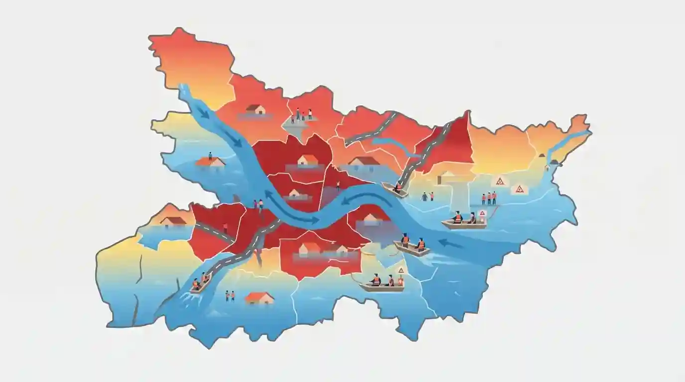
Bihar is facing a major flood alert with 13 districts threatened by the rising waters of the Ganga river, leading to the submergence of roads and homes, prompting heightened disaster management responses.
Key Points
- Thirteen districts in Bihar have been put on high flood alert as the water level of the Ganga river rises significantly above the danger mark.
- Roads, agricultural lands, and residential areas across several low-lying riparian tracts have been submerged.
- State disaster management authorities and district administrations are closely monitoring embankments and preparing relief and rescue measures.
- Monsoon activity and heavy water discharge from upstream barrages contributed to the sudden surge in water levels.
Important Terms
Central Water Commission

An apex national agency under the Ministry of Jal Shakti that monitors river flows, tracks flood situations, and issues advance flood forecasts and warnings across India.
UPSC context
Important for BPSC and UPSC (Geography/Disaster Management); tests knowledge of institutional frameworks for flood forecasting and river monitoring.
Disaster Management Department Bihar
The nodal state government department in Bihar responsible for disaster response, relief operations, mitigation, and coordination with agencies like the NDRF and SDRF during floods.
UPSC context
Crucial for BPSC (General Studies Paper II - Polity/Governance and Bihar-specific administration); tests administrative mechanisms for disaster management and relief.
Static Concepts Connected
What are the major northern and southern tributaries of the Ganga in Bihar?
- Northern Tributaries: Northern tributaries include the Ghaghra, Gandak, Burhi Gandak, Kosi, Mahananda, and Bagmati originating in the Himalayas.
- Southern Tributaries: Southern tributaries include the Sone, Punpun, Falgu, and Karmanasa originating from the Chota Nagpur Plateau.
- Kosi River: Kosi is infamous as the 'Sorrow of Bihar' due to its frequent course shifts and massive silt deposition.
Cross-Topic Patterns
Bihar Floods and Disaster Management Financing
The recurring inundation of north and south Bihar districts links river geography with disaster financing and administrative preparedness under the NDRF/SDRF frameworks.
Interstate Barrages and River Basin Governance
Heavy discharge from barrages like Indrapuri on the Sone and upstream structures on the Kosi underlines the imperative of interstate river water management and riparian accords.

Expect match-the-following questions on Bihar rivers and barrage locations (Indrapuri on Sone, Valmiki Nagar on Gandak, Birpur on Kosi).
Linked PYQs · 3
Linked PYQs · 3
- 2024-IBPSC_PRELIMSGS1
Which river is known as the ‘Sorrow of Bihar’?
- 2020BPSC_PRELIMSGS1
Which of the following rivers flowing in Bihar is a north flowing river?
- 2022BPSC_PRELIMSGS1
The confluence of the rivers Son and Ganga is located in which district of Bihar?
