Mountainous Terrain Logistics and Border Road Safety
Source:The Hindu ↗
Why It Matters
The incident is a practical example of the logistical and geographical hurdles associated with border management and troop movement in high-altitude, rugged regions. It highlights the urgent need for better road infrastructure and disaster preparedness in mountainous terrains like the Chenab Valley.
Summary
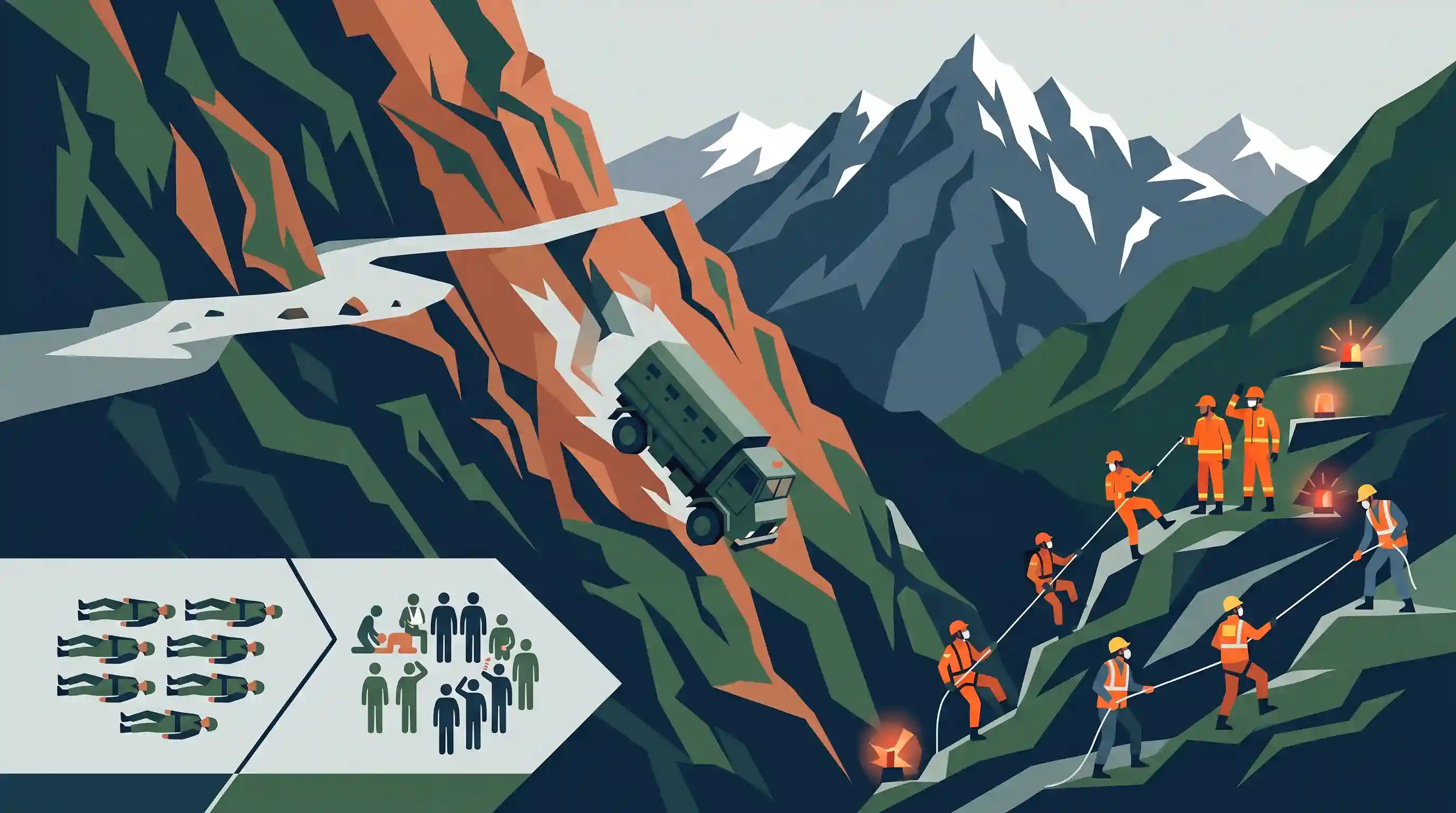
Ten Indian Army soldiers were killed and eleven others injured when their bulletproof truck fell into a 200-ft deep gorge near Thathri in Jammu and Kashmir's Doda district. The vehicle belonged to the 2 Rashtriya Rifles. Rescue teams, including the SDRF and civil administration, were mobilized to the rugged, mountainous site. The tragic incident highlights the persistent infrastructure vulnerabilities and occupational hazards for armed forces in the Chenab Valley region—covering Doda, Kishtwar, and Ramban—which is prone to deadly road accidents due to its difficult topography.
Key Points
- An Indian Army bulletproof truck belonging to 2 Rashtriya Rifles plunged into a 200-ft deep gorge in J&K’s Doda district.
- The accident claimed the lives of 10 soldiers and left 11 others injured, with critically injured personnel airlifted to Udhampur.
- Rescue operations were immediately launched by the SDRF, civil administration, and local army units.
- The rugged mountainous terrain of the Doda, Kishtwar, and Ramban districts (Chenab Valley) has a notorious history of severe road accidents.
- The incident underscores the geographical and infrastructural challenges faced by armed forces operating in high-altitude and difficult border terrains.
Important Terms
Rashtriya Rifles (RR)

A premier counter-insurgency force of the Indian Army raised in 1990 specifically for Jammu and Kashmir, composed of personnel on deputation from all branches of the Army.
UPSC context
GS-III: Internal Security; tests knowledge of specialized forces managing counter-terrorism and public order in disturbed regions.
State Disaster Response Force (SDRF)
A state-level specialized force constituted under the Disaster Management Act, 2005, for immediate rescue and relief operations during notified disasters like landslides or floods.
UPSC context
GS-III: Disaster Management; tests understanding of sub-national institutional frameworks for emergency response.
Internal Security
The maintenance of peace and law within national borders, protecting the state from internal threats such as insurgency, terrorism, and left-wing extremism.
UPSC context
GS-III: Core syllabus topic; requires analyzing threats to national stability and the government's multi-dimensional response.
Chenab Valley
Strategic geographical region in Jammu and Kashmir (Doda, Kishtwar, Ramban districts) known for rugged mountainous terrain and significant hydroelectric potential.
UPSC context
GS-I: Geography and GS-III: Security; tests awareness of regional topography and its impact on security logistics.
Border Area Infrastructure
Development of roads, bridges, and communication networks in frontier zones, critical for both national defense logistics and the socio-economic upliftment of remote populations.
UPSC context
GS-III: Security Challenges in Border Areas; tests the strategic importance of connectivity in difficult terrains.
Prelims Trap
Rashtriya Rifles is a Central Armed Police Force (CAPF) deployed in J&K under the Ministry of Home Affairs.
The Rashtriya Rifles is a specialized counter-insurgency force composed entirely of Indian Army personnel under the Ministry of Defence, unlike CAPFs which fall under MHA.
Static Concepts Connected
What is the geographical layout and significance of the Chenab Valley?
- Location: It is a structural trough bounded by the Great Himalayas and the Pir Panjal ranges in Jammu and Kashmir.
- Drainage & Districts: It encompasses the Doda, Kishtwar, and Ramban districts, drained by the Chenab river and its tributaries (like Marusudar).
- Geological Vulnerability: The region falls in high seismic zones and has fragile geology, making it highly susceptible to landslides, subsidence, and fatal road accidents.
What are the key mitigation strategies for road infrastructure in mountainous terrains?
- Hazard Zonation: Conducting hazard zonation mapping to identify high-risk landslide, avalanche, and subsidence areas before finalizing alignments.
- Slope Stabilization: Implementing bio-engineering, retaining walls, soil nailing, and rock bolting to secure vulnerable slopes along highways.
- Early Warning Systems: Deploying real-time sensors to monitor land subsidence and extreme weather events for timely evacuation and traffic halts.
Cross-Topic Patterns
Border Infrastructure vs. Ecological Fragility
The push for rapid all-weather connectivity in border areas (e.g., BRO projects) frequently clashes with the ecological fragility of the Himalayas, necessitating sustainable mountain infrastructure guidelines.
Terrain as an Internal Security Hurdle
High-altitude topography in districts like Doda and Kishtwar restricts rapid troop deployment, making anti-insurgency operations heavily reliant on terrain-adapted, specialized units rather than standard police forces.

Expect geographical mapping questions targeting structural troughs like the Chenab Valley and ranges like Pir Panjal for Prelims 2026.
Linked PYQs · 2
Linked PYQs · 2
- 2016MainsGS3
Border management is a complex task due to difficult terrain and hostile relations with some countries. Elucidate the challenges and strategies for effective border management.
- 2024MainsGS3
India has a long and troubled border with China and Pakistan fraught with contentious issues. Examine the conflicting issues and security challenges along the border. Also give out the development being undertaken in these areas under the Border Area Development Programme (BADP) and Border Infrastructure and Management (BIM) Scheme.
