Siliguri Corridor border security reviewed with indigenous tech
Source:The Hindu ↗
Why It Matters
This article highlights the shift towards tech-enabled smart borders along strategically sensitive frontiers such as the Siliguri Corridor and the riverine Sundarbans, reflecting a combination of national security, regional geography, and technology indigenization.
Summary
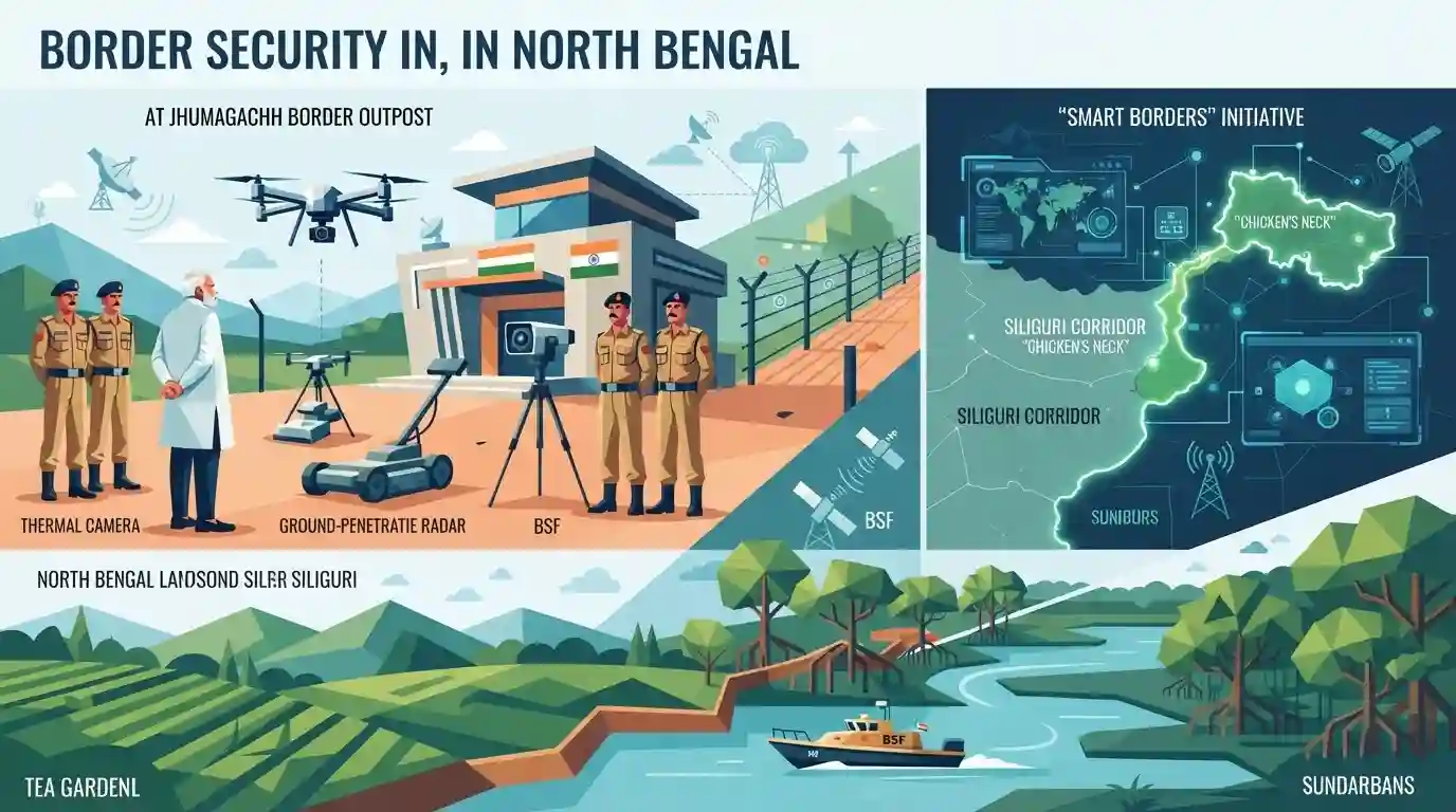
Union Home Minister Amit Shah inspected state-of-the-art indigenous border surveillance technologies at the Jhumagachh Border Outpost of the BSF\'s North Bengal Frontier in Siliguri, West Bengal. Emphasizing the transition of the strategic Siliguri Corridor ('Chicken\'s Neck') into a secure border zone, the Minister reviewed operational preparedness under the 'Smart Borders' initiative. The visit also highlighted regional geopolitical dynamics, physical border fencing developments, and natural geographical challenges like the Sundarbans mangrove ecosystems along the 4,096 km long India-Bangladesh international border.
Key Points
- Union Home Minister Amit Shah visited the Jhumagachh Border Outpost (BOP) in Siliguri to inspect indigenous border security technology under the 'Smart Borders' initiative.
- Key technologies reviewed include the Intruder Warning System, Radio-based Fence Intrusion Detection System, Gate Management Software, and the Indigenous Border Security System.
- Foundation stones were laid for development projects worth ₹77.06 crore, which includes a 4-km border fence to be built at ₹30 crore.
- India shares a 4,096 km border with Bangladesh, of which West Bengal shares the longest stretch of 2,216 km, followed by Tripura (856 km) and Assam (267 km). Almost 80% of the West Bengal-Bangladesh border is currently fenced.
- The strategic Siliguri Corridor ('Chicken\'s Neck') and the ecologically complex, riverine Sundarbans mangroves remain key focal areas and operational challenges for border management.
Important Terms
Smart Borders

A modern border management system deploying state-of-the-art technology like drones, sensors, AI surveillance, infrared alarms, and radio-based breach detection to prevent infiltration.
UPSC context
Highly relevant for GS Paper 3 (Border Management). Tests understanding of technology integration against transnational threats.
Quadrangular Security Grid
A holistic, four-pillar border security model integrating the BSF, military, local police, and civil administration to achieve zero infiltration and ensure territorial security.
UPSC context
Crucial for GS Paper 3 (Internal Security). Highlights civil-military coordination and a whole-of-government approach to border protection.
Siliguri Corridor ('Chicken's Neck')
A highly sensitive, narrow 22-km strip in West Bengal connecting mainland India to the Northeast, bordered by Nepal, Bhutan, Bangladesh, and close to China.
UPSC context
Critical for GS Paper 3 (Security) and GS Paper 2 (IR). Tests awareness of India's geopolitical vulnerabilities and choke points.
Border Security Force (BSF)
A Central Armed Police Force serving as India's first line of defense, responsible for securing international land borders primarily with Pakistan and Bangladesh.
UPSC context
Essential for GS Paper 3 (Security Forces and Mandate). Focuses on roles in tackling cross-border smuggling, trafficking, and infiltration.
Jhumagachh Border Outpost
A strategic BSF outpost in Siliguri, West Bengal, recently utilized to pilot indigenous border protection technologies like fence breach detection and infrared alarm systems.
UPSC context
Useful case study for GS Paper 3 (Border Management) illustrating on-ground operationalization of smart security infrastructure.
Prelims Trap
CIBMS aims to achieve 100% physical steel and concrete fencing across the riverine segments of the Indo-Bangladesh border.
CIBMS is specifically deployed because physical fencing is impossible/unfeasible in riverine, deltaic, and shifting terrains. It utilizes virtual fences (lasers, sensors, sonar) rather than physical steel barriers.
Static Concepts Connected
What is the Comprehensive Integrated Border Management System (CIBMS)?
- Core Objective: A high-tech integration of sensors, communication devices, and data analyzers to secure areas where physical fencing is impossible.
- Technological Mix: Utilizes thermal imagers, infrared and laser barriers, underground/underwater sensors (sonar), and aerostat cameras.
- Operational Mechanism: Feeds live intelligence to a central Command and Control (C2) center, allowing immediate, precise tactical deployment by border forces.
How are India's land borders managed under the 'One Border, One Force' principle?
- Origin: Recommended by the Kargil Review Committee (2000) to ensure single-point accountability and prevent overlapping jurisdictions.
- Force Mandate: BSF guards Pakistan and Bangladesh; ITBP guards China; SSB guards Nepal and Bhutan; Assam Rifles guards Myanmar.
Cross-Topic Patterns
Siliguri Corridor & Regional Geopolitics
The vulnerability of the 'Chicken's Neck' links GS3 internal security directly with GS2 bilateral diplomacy and regional transport connectivity (such as transit rights via Bangladesh).
Indigenization & Cybersecurity in Defense
Deploying indigenous CIBMS systems showcases the intersection of defense indigenization (GS3 Economy) with territorial sovereignty and the mitigation of foreign hardware espionage risks.

CIBMS applications in difficult riverine terrains like the Sundarbans are highly probable for a comparative analytical question in GS3.
Linked PYQs · 4
Linked PYQs · 4
- 2012WBCS_PRELIMSGS1
'Tin Bigha Corridor' links
- 2020WBCS_PRELIMSGS1
Chumbi Valley is on boundary of
- 2019WBCS_PRELIMSGS1
Sundarban is declared as 'World Heritage Site' for
- 2024WBCS_PRELIMSGS1
On a per hectare basis which of the following forests will hold maximum amount of carbon?
