GISAT 1A Mission and Resumption of ISRO Operational Launches
Source:Indian Express ↗
આ શા માટે મહત્વનું છે
Highlights India's advancements and resilience in space technology, addressing mission setbacks and resuming critical earth observation capabilities for national security and disaster management.
સારાંશ
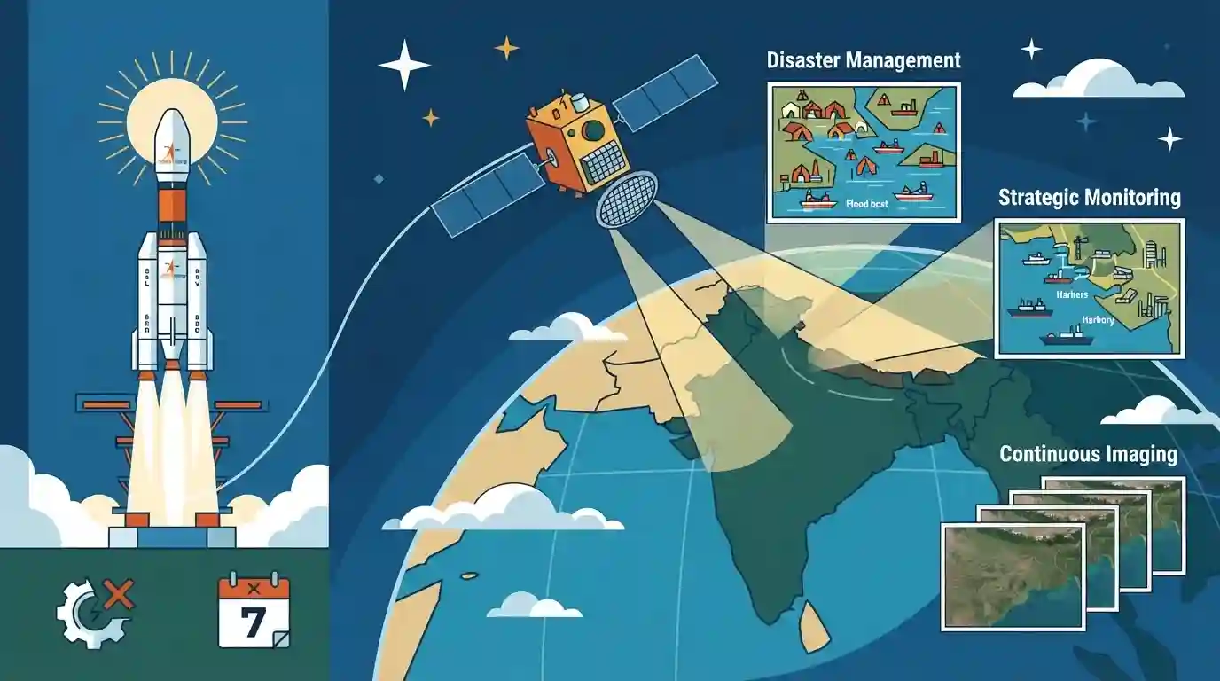
ISRO is set to end its seven-month operational hiatus caused by a January launch vehicle failure with the scheduled September launch of the GISAT-1A Earth observation satellite. GISAT-1A will provide continuous, real-time imaging of the subcontinent, boosting India's disaster management and strategic monitoring capabilities.
મુખ્ય મુદ્દા
- ISRO faced a seven-month operational hiatus following a launch vehicle debacle in January.
- The upcoming launch of the GISAT-1A Earth observation satellite in September marks the resumption of ISRO's operational missions.
- GISAT-1A is a crucial geo-imaging satellite designed for real-time observation of the Indian subcontinent, disaster management, and strategic surveillance.
મહત્વપૂર્ણ શબ્દો
GISAT-1A

An Earth observation satellite placed in a geosynchronous orbit to provide continuous, real-time imaging of the Indian subcontinent for disaster management and strategic monitoring.
UPSC context
UPSC Prelims/Mains (GS Paper III - Space Technology): Important satellite missions and applications of remote sensing.
ISRO
India's national space agency under the Department of Space, responsible for developing space technology, launch vehicles, and satellite applications for national development and exploration.
UPSC context
UPSC Prelims/Mains (GS Paper III - Science & Technology): Achievements of Indians in science & tech and space exploration.
પ્રિલિમ્સ ટ્રેપ
GISAT-1A is a traditional Low Earth Orbit (LEO) remote sensing satellite that provides periodic global imaging.
Aspirants often confuse GISAT-1A's geosynchronous orbit with Low Earth Orbit (LEO) remote sensing satellites. GISAT-1A provides continuous real-time imaging from a 36,000 km altitude, unlike LEO satellites which offer periodic coverage.
સંલગ્ન સ્થિર ખ્યાલો
What are the key differences between Low Earth Orbit (LEO) and Geosynchronous Orbit (GEO) satellites used in remote sensing?
- Altitude & Coverage: LEO satellites operate at lower altitudes (160-2,000 km) providing high-resolution periodic coverage, whereas GEO satellites operate at 36,000 km for continuous, real-time monitoring of a fixed region.
- Primary Applications: LEO is ideal for global mapping and detailed resource surveys, while GEO is crucial for meteorology, continuous disaster tracking, and real-time strategic surveillance.
આંતર-વિષય પેટર્ન
Geo-imaging satellites and disaster management frameworks
Geostationary Earth observation satellites combine space tech with Internal Security (border surveillance) and Disaster Management (NDMA guidelines on real-time cyclone tracking).

GISAT-1A's geosynchronous orbit advantage over LEO satellites for real-time disaster tracking is a prime UPSC statement-trap.
સંલગ્ન PYQ · 3
સંલગ્ન PYQ · 3
- 2023MainsGS3
What is the main task of India's third moon mission which could not be achieved in its earlier mission? List the countries that have achieved this task. Introduce the subsystems in the spacecraft launched and explain the role of the Virtual Launch Control Centre' at the Vikram Sarabhai Space Centre which contributed to the successful launch from Sriharikota.
- 2016MainsGS3
Discuss India's achievements in the field of Space Science and Technology. How the application of this technology has helped India in its socio-economic development?
- 2015PrelimsGS1
In which of the following activities are Indian Remote Sensing (IRS) satellites used? 1. Assessment of crop productivity 2. Locating groundwater resources 3. Mineral exploration 4. Telecommunications 5. Traffic studies Select the correct answer using the code given below.
