Tripura Floods and Extreme Weather Relief Operations
Source:Indian Express ↗
Why It Matters
Floods and extreme weather events are recurrent hazards in India, frequently tested in UPSC under Disaster Management and Geography. This incident underscores the importance of swift evacuation, relief camp mobilization, and the broader need for climate resilience and disaster preparedness frameworks in vulnerable regions like the Northeast.
Summary
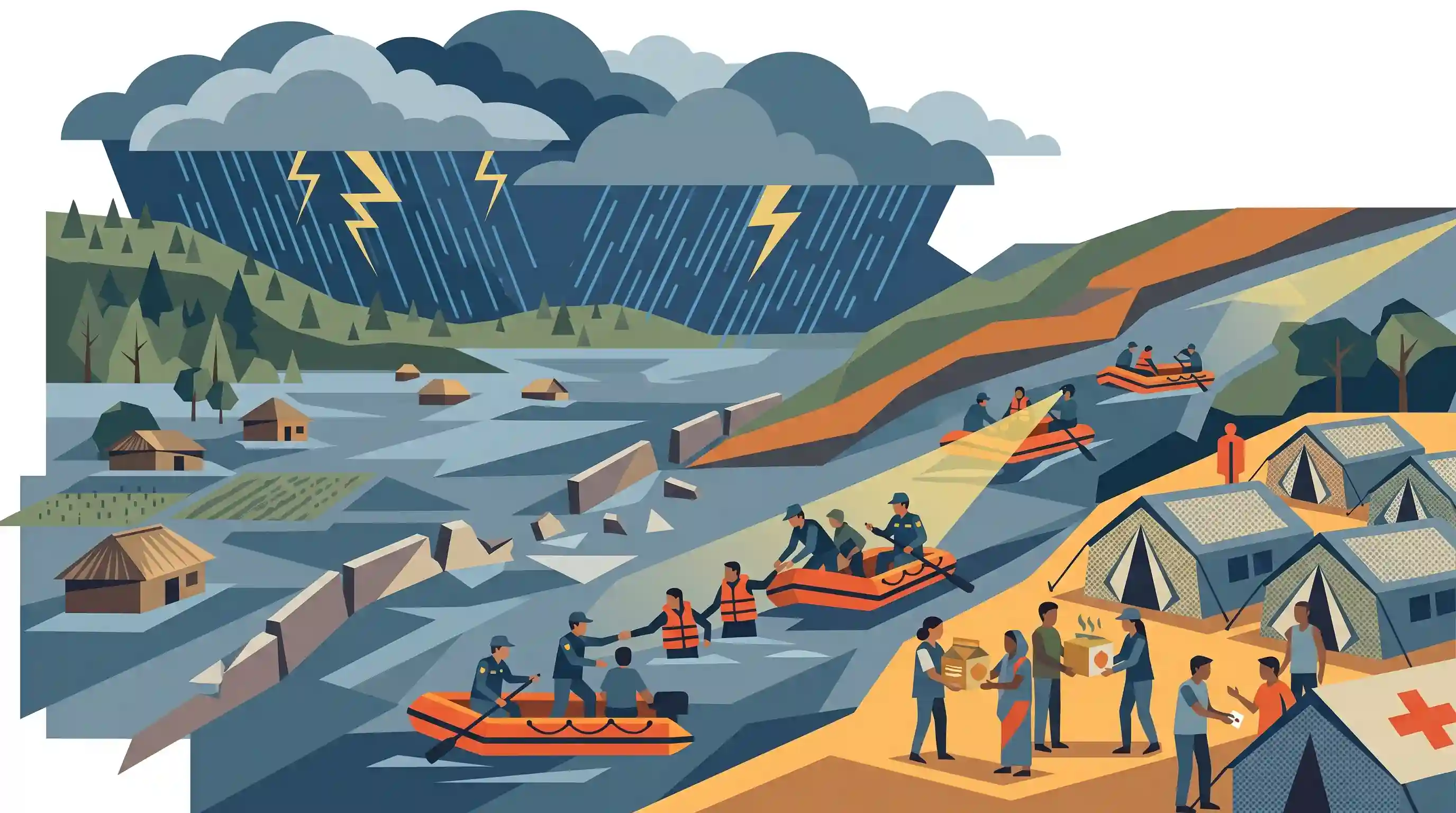
Heavy showers and thunderstorms in Tripura have led to severe flooding, submerging large tracts of land and displacing over 7,000 people who have been relocated to relief camps. The state is dealing with an extreme weather event that requires immediate disaster response and highlights the ongoing vulnerability of Northeastern states to climate-induced hydro-meteorological disasters.
Key Points
- Unrelenting heavy rainfall and thunderstorms have struck Tripura, causing severe disruptions.
- Massive flooding has submerged significant tracts of agricultural and residential land across the state.
- Disaster response mechanisms have been activated, with over 7,000 affected residents evacuated to temporary relief camps.
- The event highlights the region's vulnerability to extreme weather and the critical need for robust disaster preparedness and swift relief operations.
Prelims Trap
Flood control and disaster mitigation are exclusively under the Union List due to inter-state rivers.
Flood management and control are State subjects under the Constitution. The Union government only provides technical, advisory, and financial assistance.
Static Concepts Connected
What are NDMA's non-structural measures for flood mitigation?
- Floodplain Zoning: Regulating land use in flood-prone areas to prevent excessive developmental and residential encroachments.
- Forecasting and Warning: Utilizing the Central Water Commission (CWC) network to predict river levels and issue timely alerts.
- Hazard Zonation: Mapping vulnerable zones using GIS to plan efficient evacuation routes and relief camp deployments.
Why is the Northeast region exceptionally prone to hydro-meteorological disasters?
- Orographic Rainfall: The region receives intense rainfall, often exacerbated by the funneling effect of its mountain ranges.
- River Basin Capacity: The Brahmaputra and Barak river basins experience extremely high discharge rates during the monsoon.
- High Siltation: Loose topsoil in the young Himalayas leads to high siltation, raising riverbeds and reducing water carrying capacity.
Cross-Topic Patterns
Climate extremes threatening food security
Flooding of massive agricultural tracts directly reduces rice yields, linking hydro-meteorological disasters to food inflation and emphasizing the urgency of deploying flood-tolerant crop varieties (like Swarna-Sub1).
Topography driving disaster vulnerability
The sudden gradient drop from the Purvanchal hills to flat plains forces rivers to deposit huge silt loads, reducing channel capacity and leading to rapid flooding during thunderstorms.

Expect a 2026 Prelims question testing the jurisdiction of flood control (State subject) vs river boards, alongside NDMA zoning guidelines.
Linked PYQs · 4
Linked PYQs · 4
- 2019MainsGS3
Disaster preparedness is the first step in any disaster management process. Explain how hazard zonation mapping will help disaster mitigation in the case of landslides.
- 2024MainsGS3
Flooding in urban areas is an emerging climate-induced disaster. Discuss the causes of this disaster. Mention the features of two such major floods in the last two decades in India. Describe the policies and frameworks in India that aim at tackling such floods.
- 2016MainsGS1
Major cities of India are becoming more vulnerable to flood conditions. Discuss.
- 2017MainsGS1
In what way can floods be converted into a sustainable source of irrigation and all-weather inland navigation in India?
