Bangladesh Earthquake and Seismic Vulnerability of South Asia
Source:The Hindu ↗
Why It Matters
This event serves as a practical case study for UPSC aspirants on the severe vulnerability of densely populated urban areas to seismic hazards. It emphasizes the critical importance of disaster preparedness, building codes, and risk assessment along the active tectonic boundaries of the Indian subcontinent.
Summary
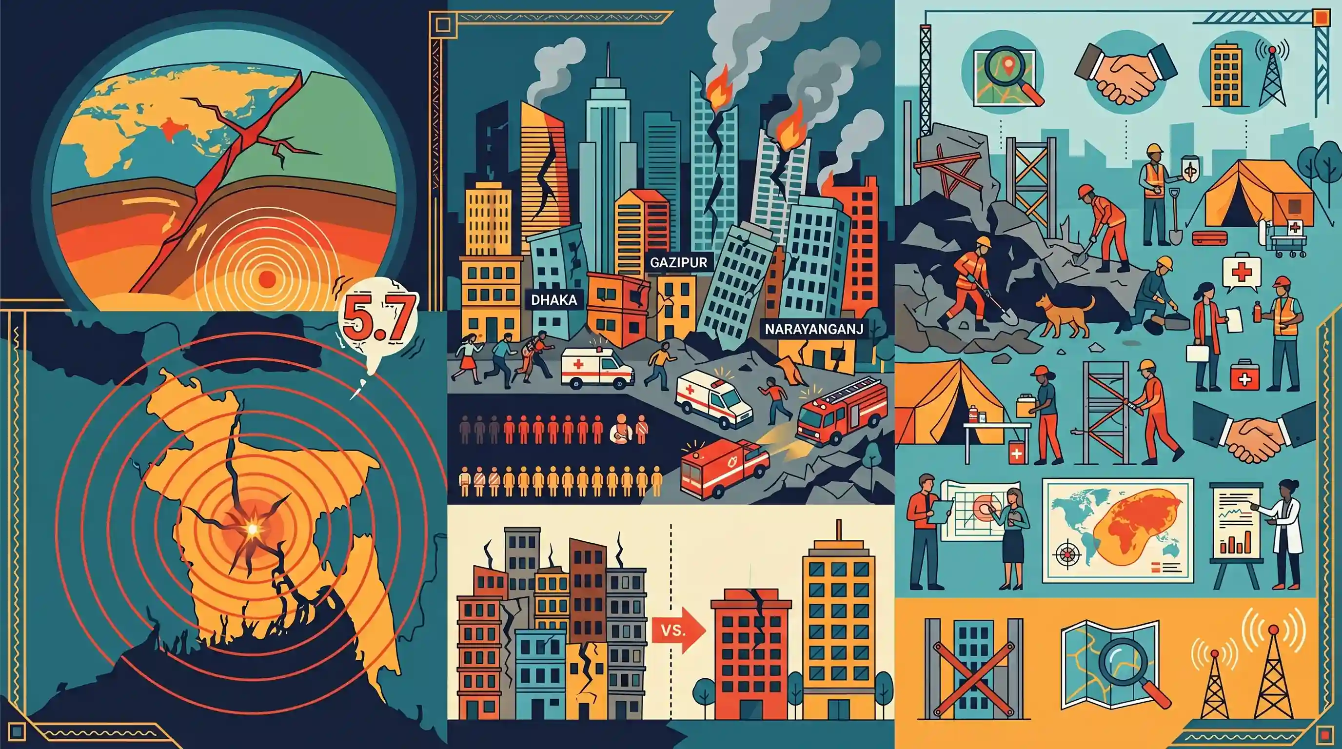
A 5.7 magnitude earthquake struck Bangladesh, causing widespread panic, structural damage, and resulting in at least 10 deaths and over 100 injuries. The quake, with its epicentre in Narsingdi, severely impacted densely populated urban centers including Dhaka, Gazipur, and Narayanganj, causing building collapses and fires. Tremors were also felt in neighboring West Bengal, India. Experts warn that the region's location on active tectonic plate boundaries makes it highly susceptible to major earthquakes, underscoring the severe vulnerability of urban infrastructure and the critical need for enhanced disaster preparedness and mitigation strategies across South Asia.
Key Points
- A 5.7 magnitude earthquake with its epicentre in Narsingdi, Bangladesh, killed at least 10 people and injured over 100.
- The tremors caused building collapses, wall cave-ins, and fires in densely populated areas like Dhaka, Gazipur, and Narayanganj.
- Tremors were also strongly felt in parts of West Bengal, India, highlighting the transboundary nature of the seismic hazard.
- Experts emphasize that Bangladesh is situated on active tectonic plate boundaries, making it highly vulnerable to inevitable, larger earthquakes.
- The extensive structural damage from a moderate tremor serves as an alarm bell regarding urban vulnerability and the urgent need for disaster preparedness and resilient infrastructure in South Asia.
Important Terms
Dauki Fault

A major 300-km active fault line along the southern boundary of the Shillong Plateau. It is a primary source of seismic risk for Bangladesh and Northeast India.
UPSC context
GS Paper 1 (Physical Geography) & GS Paper 3 (Disaster Management); essential for understanding tectonic hazards in the Indian subcontinent.
Bangladesh Meteorological Department (BMD)
The official state agency responsible for seismic monitoring, weather forecasting, and early warnings in Bangladesh, operating the national seismic observatory network.
UPSC context
GS Paper 3 (Disaster Management); tests knowledge of regional institutional frameworks for disaster early warning systems.
BUET (Bangladesh University of Engineering and Technology)
Bangladesh's leading technical university, central to seismic hazard analysis and development of the Bangladesh National Building Code (BNBC) through research on urban safety and structural resilience.
UPSC context
GS Paper 3 (Disaster Management); relevant for technical mitigation, structural engineering standards, and academic-led disaster risk reduction.
Urban Vulnerability
The susceptibility of urban centers to disaster impacts due to high population density, unplanned growth, non-compliance with building codes, and fragile emergency response infrastructure.
UPSC context
GS Paper 3 (Disaster Management); a recurring theme in questions about disaster risk assessment and smart city resilience.
Seismic Zonation
The geographical mapping of regions based on expected earthquake intensity and frequency to guide land-use planning and mandate specific seismic-resistant engineering standards.
UPSC context
GS Paper 1 (Geography) & GS Paper 3 (Disaster Management); fundamental for understanding risk classification and building code enforcement.
Sendai Framework for Disaster Risk Reduction
A 2015-2030 UN global agreement aiming for substantial reduction in disaster risk. It prioritizes disaster risk governance and international cooperation for building resilient infrastructure.
UPSC context
GS Paper 3 (Disaster Management); the primary international policy framework for disaster mitigation and regional cooperation in South Asia.
Prelims Trap
Earthquakes in Bangladesh and NE India are solely caused by the collision of the Indian and Eurasian plates.
This ignores the crucial Burmese plate. The high seismicity of the Bengal basin and Northeast India is driven by the complex convergence of the Indian, Eurasian, AND Burmese plates.
Static Concepts Connected
How is India classified into distinct Seismic Zones?
- Zone V (Very High): Covers the most seismically active regions, including the entire Northeast, parts of J&K, Himachal, Uttarakhand, Rann of Kutch, and Andaman & Nicobar.
- Zone III & IV (Moderate to High): Includes the Indo-Gangetic basin, the capital region (Delhi), parts of West Bengal, and northern areas experiencing high tectonic stress.
- Zone II (Low): Covers structurally stable areas, largely mapping to the relatively older and stable peninsular Indian landmass.
What are the key structural mitigation measures for earthquake-prone urban areas?
- Micro-zonation: Mapping seismic hazards at a highly localized city scale to guide land-use planning, building heights, and foundational requirements.
- Seismic Retrofitting: Strictly applying codes (like BIS IS 1893:2016 in India) for new constructions and systematically strengthening older structures to withstand tremors.
- Base Isolation: Decoupling a building's substructure from the shaking ground using flexible pads, heavily reducing the transfer of seismic forces to the building.
Cross-Topic Patterns
Transboundary Seismic Risk & BIMSTEC
Earthquakes spanning the Bengal basin highlight the need for regional disaster response frameworks, elevating BIMSTEC's role in coordinating multi-national disaster relief and data sharing.
Unplanned Urbanization Multiplies Disaster Vulnerability
The disproportionate damage from a moderate 5.7 quake demonstrates how unchecked population density and poor zoning laws convert geological hazards into severe urban disasters.

Expect a multi-statement Prelims question mapping Indian states to BIS Seismic Zones, combined with the Indo-Burmese Arc plate tectonics.
Linked PYQs · 4
Linked PYQs · 4
- 2021MainsGS3
Discuss about the vulnerability of India to earthquake related hazards. Give examples including the salient features of major disasters caused by earthquakes in different parts of India during the last three decades.
- 2019MainsGS3
Vulnerability is an essential element for defining disaster impacts and its threat to people. How and in what ways can vulnerability to disasters be characterized? Discuss different types of vulnerability with reference to disasters.
- 2013MainsGS3
How important are vulnerability and risk assessment for pre-disaster management ? As an administrator, what are key areas that you would focus on in a Disaster Management System.
- 2025MainsGS1
Discuss how the changes in shape and sizes of continents and ocean basins of the planet take place due to tectonic movements of the crustal masses.
