Uttar Pradesh Flood Management and Heavy Rainfall Relief
Source:webindia123 ↗
Why It Matters
The article highlights UP's drainage system, flood-prone regions, and the state's disaster response mechanisms. Questions on the tributaries, flow districts, and confluence of UP's rivers (Hindon, Ghaghara, Gandak) are common in UPPSC Prelims, as are concepts related to disaster management and early warning systems (IMD alerts).
Summary
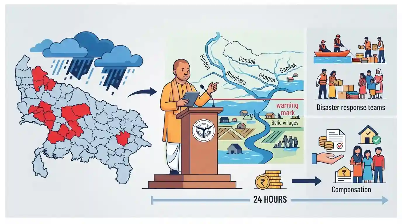
Uttar Pradesh Chief Minister Yogi Adityanath reviewed the heavy rainfall and flood situation in the state, assuring compensation to affected families within 24 hours. The IMD issued severe weather warnings, including a red alert for 12 districts. Several major rivers in UP, such as the Hindon, Ganga, Ghaghara, and Gandak, were flowing above their warning marks, triggering flood control measures and constant monitoring.
Key Points
- Uttar Pradesh CM Yogi Adityanath directed officials to provide relief and compensation to families affected by heavy rainfall within 24 hours.
- The IMD issued a red alert for 12 districts, including Bahraich, Lakhimpur Kheri, and Bareilly, indicating extreme weather and potential flooding.
- Hindon river (Baghpat, Gautam Buddh Nagar), Ganga river (Budaun), Ghaghara river (Ayodhya, Ballia), and Gandak river (Kushinagar) were flowing above the warning mark.
- Orange and yellow alerts were issued for several other districts, necessitating continuous monitoring and deployment of NDRF/SDRF units.
Prelims Trap
The Hindon River is a glacier-fed tributary flowing directly into the Ganga River.
Hindon is rain-fed, originates in the outer Shivaliks, and is a tributary of the Yamuna, not directly of the Ganga.
Static Concepts Connected
What is the funding pattern and legal basis of the State Disaster Response Fund (SDRF)?
- Legal Provision: Constitutes the primary fund under Section 48(1)(a) of the Disaster Management Act, 2005, for immediate relief.
- Funding Split: Financed 75% by the Central government for general category states, and 90% for special category states.
- Utilization Limits: Can only be used for providing immediate relief to victims of state-notified and centrally-notified natural disasters.
What are the distinct geographical traits of the Ghaghara and Gandak rivers?
- Ghaghara Origin: Originates as Mapchachungo glacier near Mansarovar (Tibet), enters India as a perennial left-bank tributary of Ganga.
- Gandak Course: Originates in the high Himalayas of Nepal (as Narayani), enters India at Triveni, and joins Ganga near Patna.
Cross-Topic Patterns
River Morphometry + Urban Flooding
Encroachment of rain-fed channels like the Hindon in Noida/NCR translates seasonal rainfall into severe urban drainage crises, highlighting failed municipal zoning.
Federalism + Disaster Finance
The structural allocation of SDRF/NDRF funds under Finance Commission guidelines highlights fiscal federalism dynamics during recurrent climate-induced disasters.

Multi-statement questions may test distinct Shivalik vs. Himalayan origins of Ganga tributaries alongside SDRF federal funding rules.
Linked PYQs · 3
Linked PYQs · 3
- 2023UPPSC_PRELIMSGS1
Which of the following statement is correct? (1) Ram Ganga river joins the Ganga at Kannauj. (2) River Betwa joins the Yamuna near Prayagraj. Select the correct answer using the code given below –
- 2021UPPSC_PRELIMSGS1
Which one of the following rivers is NOT the part of Indian Ganga river basin ?
- 2023UPPSC_PRELIMSGS1
A geographical unit that collects, stores and release water is called -
