Heavy rains and cloudbursts trigger widespread damage in Kangra
Source:tribuneindia ↗
Why It Matters
The article underscores Himachal Pradesh's extreme geographical vulnerability to hydrometeorological disasters like cloudbursts and landslides. It provides relevant examples of localized events in the Kangra district (e.g., Boh Valley, Bhagsunag), making it highly pertinent for GS-1 questions related to the state's geography, drainage patterns, rainfall distribution, and disaster management challenges.
Summary
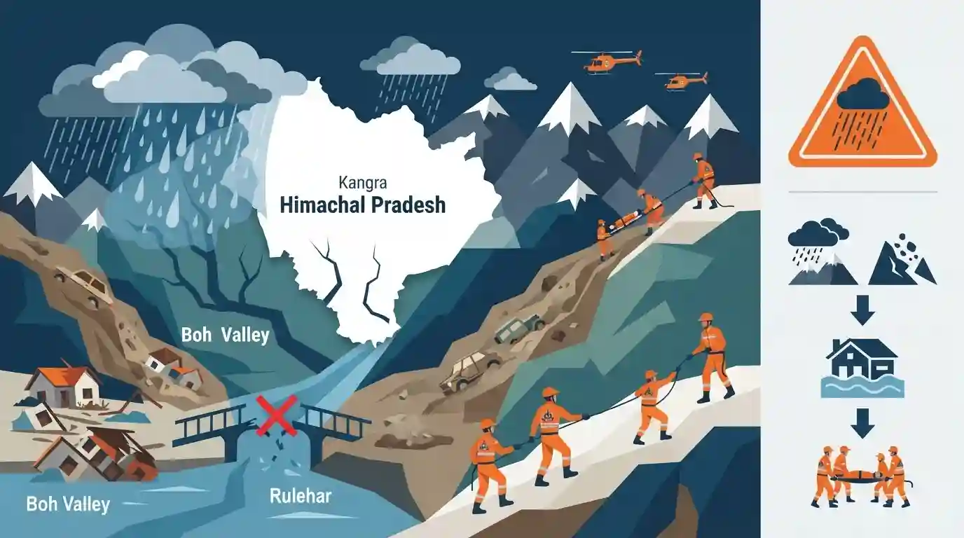
Heavy rainfall, cloudbursts, and landslides wreaked havoc in Himachal Pradesh's Kangra district, severely affecting areas like the Boh Valley, Rulehar, and Dharamsala. The extreme weather damaged numerous houses, washed away bridges and vehicles, and left people stranded or missing. Rescue operations are being spearheaded by the NDRF. With multiple districts experiencing flood-like conditions, the meteorological department has issued an orange warning for continued heavy to very heavy rains, emphasizing the region's high susceptibility to monsoon-related disasters.
Key Points
- Heavy rainfall in Himachal Pradesh's Kangra district triggered destructive flash floods and landslides, causing injuries and significant damage to homes and infrastructure.
- A cloudburst in the Boh Valley resulted in missing persons and the destruction of several houses, prompting NDRF rescue interventions.
- Rapidly rising water levels in water bodies such as the Manji river and Neugal Khud caused localized flooding, forcing evacuations and washing away vehicles and bridges.
- The Meteorological Department issued an orange warning for severe rainfall, underscoring the ongoing hydrometeorological vulnerability of multiple districts in Himachal Pradesh.
Important Terms
National Disaster Response Force (NDRF)

India's specialized force established under the Disaster Management Act, 2005, for rapid rescue, relief, and managing natural and man-made disasters.
UPSC context
GS Paper III (Disaster Management); tests knowledge of institutional emergency response frameworks.
India Meteorological Department (IMD)
The primary government agency under the Ministry of Earth Sciences responsible for meteorological observations, weather forecasting, and early warnings of natural disasters.
UPSC context
GS Paper I (Geography) & Paper III (Disaster Management); tests climate monitoring and hazard warnings.
Cloudburst
An extreme weather event characterized by intense rainfall exceeding 100 mm per hour over a small geographical area, often in mountainous regions.
UPSC context
GS Paper I (Physical Geography); tests understanding of extreme atmospheric precipitation mechanisms.
Flash Flood
A sudden, highly localized, and rapid rise in water level, typically occurring within six hours of intense rainfall or cloudburst.
UPSC context
GS Paper III (Disaster Management); tests understanding of rapid-onset natural disasters and hazard mitigation.
Landslide
The downward movement of a mass of rock, debris, or earth under the direct influence of gravity, frequently triggered by heavy rains.
UPSC context
GS Paper I (Physical Geography) & Paper III (Disaster Management); tests knowledge of mass wasting hazards.
Prelims Trap
A cloudburst is defined by the IMD as any highly localized rainfall event exceeding 50 mm in one hour.
The India Meteorological Department (IMD) defines a cloudburst as intense rainfall of 100 mm or more per hour over a localized area of about 20 to 30 sq km.
Static Concepts Connected
What scientific criteria and mechanisms define a cloudburst in India?
- IMD Definition: Defined as localized rainfall of 100 mm or more per hour over an area of approximately 20 to 30 square kilometers.
- Physical Process: Occurs when strong convective updrafts prevent condensing water droplets from falling, causing sudden, concentrated precipitation when the updraft collapses.
- Orographic Effect: Himalayan topography forces moist air masses upward rapidly, acting as a major physical catalyst for convective cloud formation.
What are the distinct drainage and valley features of the Kangra and Sirmaur regions?
- Beas Tributaries: Perennial, snow-fed streams like the Neugal Khud and Manji River originate from the Dhauladhar Range and feed the Beas River basin.
- Bara Banghal Valley: Located at the northern tip of Kangra, this high-altitude basin between the Dhauladhar and Pir Panjal ranges is the source of the Ravi River.
- Kiarda Dun Valley: Lies in Sirmaur district (not Kangra), bounded by the Markanda and Dharti ranges, and is separated from Dehradun by the Yamuna River.
Cross-Topic Patterns
Himalayan Infrastructure + Carrying Capacity
Unregulated hill development and hydropower dams in fragile zones like Kangra aggravate landslide vulnerability, making urban carrying-capacity studies critical for sustainable hill governance.
Disaster Governance + Federalism
The transition of NCDM to NIDM highlights India's institutional shift from reactive relief to proactive disaster mitigation under the Disaster Management Act of 2005.

Pre-monsoon Himalayan cloudburst mechanics (100mm/hr threshold) and Beas/Ravi micro-tributaries are highly probable concepts for GS-1 2026.
Linked PYQs · 4
Linked PYQs · 4
- 2025HPAS_PRELIMSGS1
When was the National Centre for Disaster Management established in India ?
- 2024HPAS_PRELIMSGS1
Consider the following statements : (1) Monkey valley lies in Chamba. (2) Kiarda Dun valley lies in Kangra. (3) The Great Himalayas are referred as Alpine zone in Himachal Pradesh. (4) Churadhar pertain to Zanskar range in Himachal Pradesh Choose the correct answer from the options given below :
- 2017HPAS_PRELIMSGS1
Which of the following valleys lies between the Dhauladhar and Pir Panjal ?
- 2023HPAS_PRELIMSGS1
Consider the following statements : (1) The rainiest district in Himachal Pradesh is Kangra. (2) Rainfall in the Alpine region of Himachal Pradesh varies between 300-600 mm. (3) Winter season in Himachal Pradesh extends from October to March. (4) Mandi is the hottest place in Himachal Pradesh. Choose the correct answer from the options given below :
