Bihar Submits Highway and Bridge Projects for Central Approval
Source:indianmasterminds ↗
Why It Matters
Infrastructure projects are highly prioritized in BPSC Prelims, especially regarding highway lengths, geographical river crossings (like the Kamla River), and religious/cultural circuits. These multi-crore initiatives will significantly boost logistics, ease urban traffic, and facilitate cross-border trade and religious tourism.
Summary
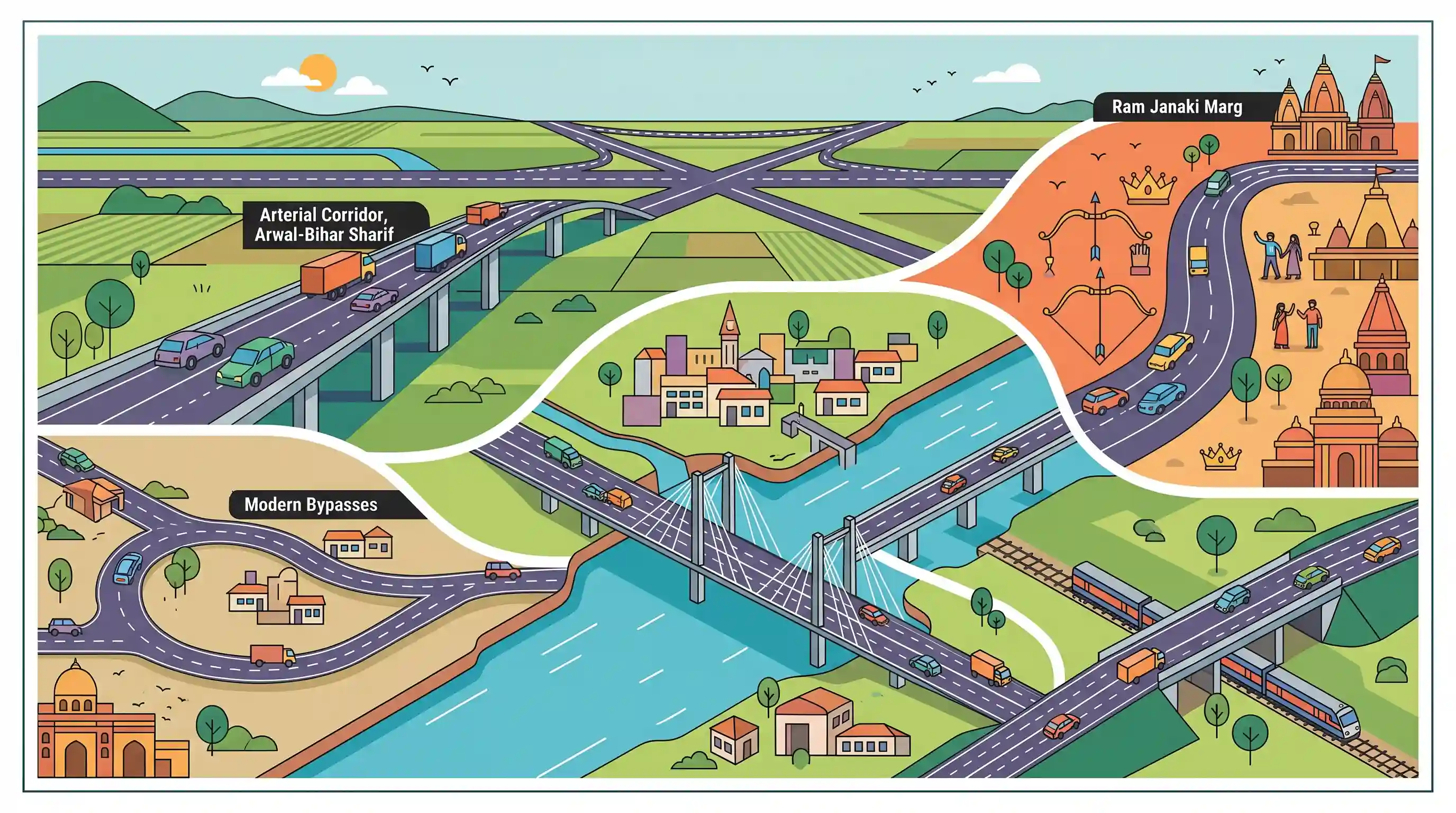
The Government of Bihar has submitted DPRs worth over ₹15,000 crore to the Union Ministry of Road Transport and Highways (MoRTH) for key projects. The initiatives feature major arterial corridors like the Arwal–Bihar Sharif highway, the Sati Ghat Bridge on NH-333A, and the Ram Janaki Marg (Masrakh–Chakia–Bhitthamore). It also proposes crucial bypasses, ROBs, and two bridges over the Kamla River in Jaynagar to resolve traffic bottlenecks, promote religious tourism, and upgrade Bihar's infrastructure network.
Key Points
- The Bihar government has prepared and submitted Detailed Project Reports (DPRs) worth over ₹15,000 crore for major highways, bridges, and bypasses to the Union Ministry of Road Transport and Highways (MoRTH) for approval.
- The Arwal–Bihar Sharif Highway upgradation and widening project covers 89 km with an estimated investment of ₹3,844.69 crore, aimed at bolstering regional connectivity.
- Under the NH-333A corridor, development between Barbigha and Panjwara is proposed, which includes road packages and the key Sati Ghat Bridge (estimated at ₹974.37 crore) to enhance central Bihar's east–west connectivity.
- A major highlight is the Ram Janaki Marg Project stretching 146 km (Masrakh–Chakia–Bhitthamore) at an estimated cost of ₹8,671.80 crore, designed to boost religious tourism and regional connectivity in northern Bihar.
- Infrastructure plans for Jaynagar (Madhubani) include a new bypass and two bridges over the Kamla River, carrying a combined investment of over ₹2,200 crore. Urban bypasses are also proposed for Bettiah, Samastipur, and Aurangabad.
- To address heavy traffic congestion at railway crossings, Railway Overbridge (ROB) projects are proposed in Dumraon, Vikramganj, Safiasarai, and Jehanabad.
Important Terms
Ram Janaki Marg Project

A culturally and strategically significant highway project connecting Ayodhya (Uttar Pradesh) with Bhithamore (Bihar near Nepal border), designated under NH-27, NH-227A, and NH-227 to boost regional tourism and connectivity.
UPSC context
GS Paper I (Heritage/Tourism Corridors) and GS Paper III (Infrastructure development and regional connectivity).
Ministry of Road Transport and Highways
The apex Central government ministry in India responsible for formulating and administering laws, policies, and regulations related to road transport, national highways, and transport research.
UPSC context
GS Paper II (Government Ministries) and GS Paper III (Infrastructure: Roads), testing administrative mechanisms for economic growth.
Road Construction Department, Bihar
The nodal state government department in Bihar responsible for the planning, construction, and maintenance of state highways, major district roads, and urban bypasses.
UPSC context
GS Paper II (State Government) and GS Paper III (Infrastructure), testing center-state cooperation in infrastructure development.
National Highway 333A (NH-333A)
A 296-km national highway traversing Bihar and Jharkhand, functioning as an auxiliary spur of NH-33 to improve regional east-west connectivity.
UPSC context
GS Paper I (Geography of India - Transport) and GS Paper III (Infrastructure and regional economic integration).
Kamla River
A major transboundary river originating in the Churia Hills of Nepal that enters India through Bihar's Madhubani district, notorious for severe monsoon flash floods.
UPSC context
GS Paper I (Indian Geography - Drainage System) and GS Paper III (Disaster Management/Flooding).
Prelims Trap
The Ram Janaki Marg is an entirely domestic highway corridor connecting cultural sites within Indian states.
It is actually a cross-border international corridor extending directly into Janakpur, Nepal, featuring a critical dual-use military landing strip near the border.
Static Concepts Connected
What is the origin, course, and destination of the Kamla River?
- Origin: Originates in the Mahabharat Range near Sindhuliagarhi in Nepal.
- Indian Entry: Enters India near Jaynagar in the Madhubani district of Bihar.
- Confluence: Joins the Bagmati River system (Kareh) at Badlaghat in Khagaria, eventually draining into the Ganges basin.
What are Highway Emergency Landing Facilities (ELFs) in India?
- Joint Agencies: Developed jointly by the Indian Air Force (IAF) and the Ministry of Road Transport and Highways (MoRTH).
- Design Standard: Require straight alignments of 3 to 5 km, specific pavement thickness, and zero overhead obstructions.
- Strategic Value: Serve dual-use purposes for military operations during crises and civilian evacuation during natural disasters.
Cross-Topic Patterns
Dual-Use Highways and Border Security
Integrating Emergency Landing Facilities (ELFs) on border-adjacent highways like Ram Janaki Marg bridges domestic connectivity with IAF tactical capabilities near Nepal.
Infrastructure and Cultural Diplomacy
The Ram Janaki Marg connects Ayodhya (India) to Janakpur (Nepal), leveraging sub-regional transport corridors to cement bilateral ties and cultural diplomacy.

Strategic integration of Emergency Landing Facilities (ELFs) on bilateral highway corridors likely to feature in GS-3 infrastructure/security.
Linked PYQs · 3
Linked PYQs · 3
- 2020BPSC_PRELIMSGS1
Which of the following rivers flowing in Bihar is a north flowing river?
- 2016BPSC_PRELIMSGS1
Total length of National Highways in Bihar is:
- 2024-EBPSC_PRELIMSGS1
Which of the following centres in Bihar is proposed to develop under Vishnupad Yojana for promotion of tourism in Union Budget 2024?
