Maharashtra Drought Vulnerability And District Water Scarcity Crisis
Source:hindustantimes ↗
Why It Matters
Crucial for MPSC aspirants studying Maharashtra's regional geography, agricultural vulnerability, and district-level economic pressures caused by monsoon anomalies.
Summary
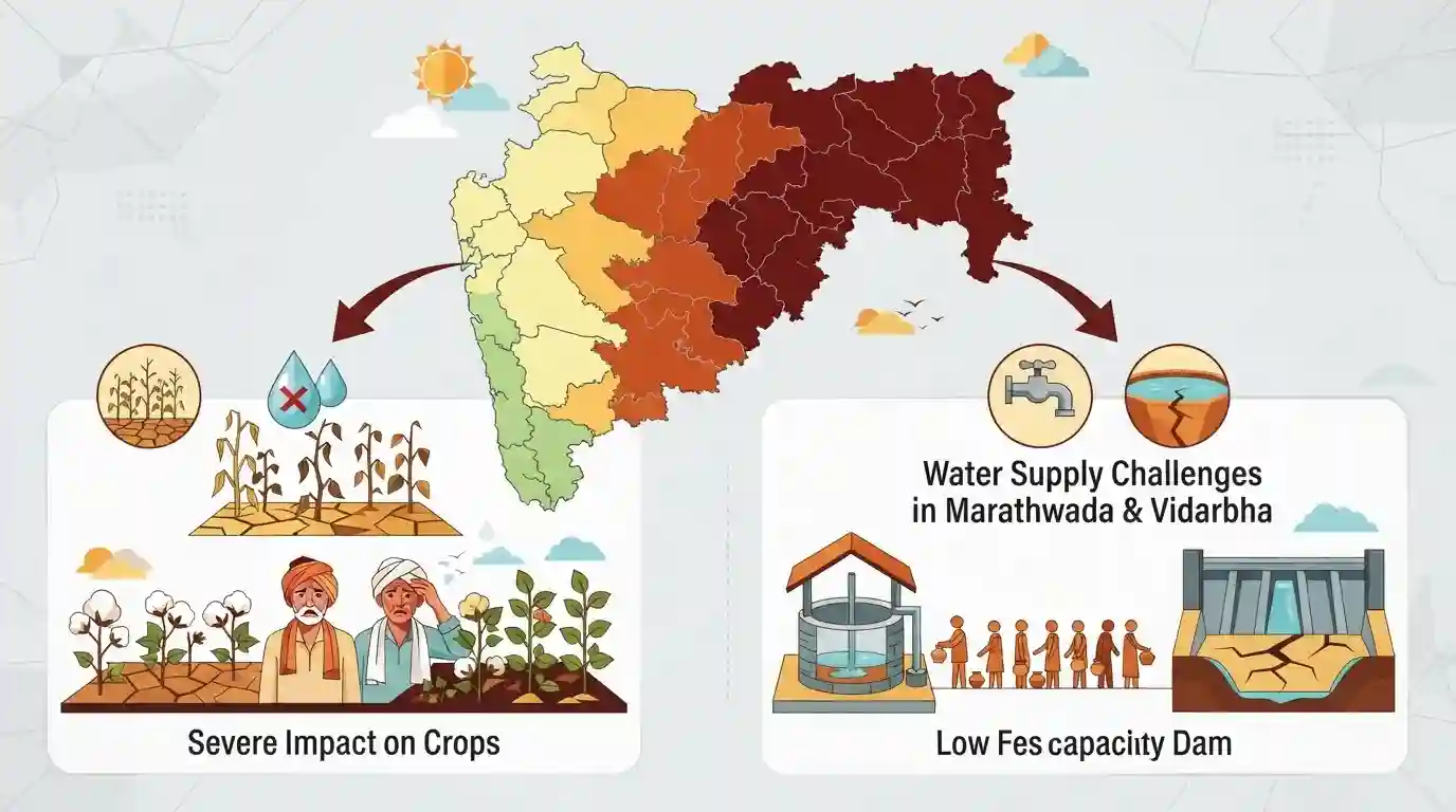
A recent report highlights that 14 districts across Maharashtra are staring at acute water scarcity, severely impacting crops and posing challenges for water supply management in regions like Marathwada and Vidarbha.
Key Points
- 14 districts in Maharashtra are facing acute water scarcity and potential crop damage due to inadequate rainfall or reservoir depletion.
- Marathwada and parts of Vidarbha are experiencing severe deficits in water storage levels, raising concerns for both drinking water and Kharif/Rabi crops.
- State administration is monitoring dam water levels and planning tanker deployments for drought-prone pockets.
Important Terms
Maharashtra Government

The governing authority of Maharashtra, responsible for state administration, policy formulation, disaster management, and tackling regional issues like agricultural distress, drought declarations, and water scarcity mitigation.
UPSC context
MPSC Polity and Governance: Evaluates state administrative actions, policy execution, relief deployments, and crisis management frameworks during agricultural droughts.
Water Resources Department
The key state-level administrative body in Maharashtra responsible for planning, developing, and managing water resources, irrigation projects, dam storages, and bulk water supply distribution across river basins.
UPSC context
MPSC Geography and Agriculture: Crucial for questions regarding irrigation potential, river basin management, and coping mechanisms against state water scarcity.
Prelims Trap
Vidarbha records the lowest live water storage among all administrative divisions in Maharashtra.
Aspirants often assume Vidarbha receives lower rainfall than Marathwada overall, but Marathwada frequently exhibits the lowest reservoir storage percentages in the state.
Static Concepts Connected
What are the major geographical and climatic features of the Marathwada and Vidarbha regions?
- Rainfall Pattern: Marathwada lies in the rain-shadow region of the Western Ghats, receiving moderate to low annual rainfall (600–900 mm).
- Eastern Influence: Vidarbha is situated in the eastern part of the state and typically receives higher rainfall than Marathwada from the Bay of Bengal branch.
- Soil Type: Both regions feature extensive tracts of black cotton soil (Regur), which has high moisture retention but cracks deeply during acute dry spells.
Cross-Topic Patterns
Drought Distress and Agrarian Crisis Linkages
Repeated drought and crop failure in Marathwada links agricultural distress directly to state-level rural debt crises and migration patterns.
Regional Disparities in State Infrastructure Allocation
Water deficit patterns in interior Maharashtra expose deep regional disparities between high-storage Konkan/Pune and parched Marathwada/Vidarbha.

MPSC frequently tests regional reservoir storage disparities and drought-prone district mapping in multi-statement geography questions.
Linked PYQs · 2
Linked PYQs · 2
- 2025MPSC_PRELIMSGS1
_______ Monsoon winds blow in Maharashtra from June to September.
- 2024MPSC_PRELIMSGS1
Which type of drainage pattern is found in Maharashtra ? (a) Dendritic (b) Parallel (c) Indefinite (d) Trellis Answer options :
